Eagles, BIG black bears, spawning salmon, best breakfast diner on the planet and civilzation shock…

British Columbia, Canada is bare bones, true wilderness.  Prepare well, and provision food well ahead of time.  That holds true through Banff and Jasper.  Towns are small and groceries are scarce.

Driving from Jasper to an unexpected stop in Valemount, then another overnight in Clearwater, making our way to Vancouver was  gorgeous yet, intense driving conditions!  Narrow mountain roads, and steep gradients, especially with the big fast moving log trucks greeting you on every blind spot corner while IN an RV towing a jeep…. pucker factor haha.  It felt as if we were in another far off land through portions of the drive.. Swiztlerland at times, Scotland others… One corner would be vast mountains and glaciers, another would be green meadow.  Very different landscape and sites.  Communities were very small and seasonally operated.

Russia, Canada and the United States are the 3 largest countries in the world.  Canada being the 2nd largest with a population of 32 million (US being 380 million…). We drove literally hundreds of kilometers with out seeing a trace of humans other than the huge and scary trucks….

Along the route near Valemount..  we stopped to view some wild spawning Salmon that a local lady from the previous campground told us to be on the look out for.  Curiously, she also said they were landlocked salmon.. and in Clearwater there was a hole in the wall cafe (trucker style) with mostly locals, that served hands down the best breakfast i’ve ever had! What a treat!!

Along the way we hit a quick bear sightseeing boat ride that looked to be a bit cheesy from the outside, but ended up being an incredible tour of Mud Lake and North Thompson River, a wildlife corridor of the Canadian Rocky mountain range. Waterfalls, glaciers and of course some very awesome and healthy bear were on par for this guided trip! Very glad we stopped to do this.  Yes, touristy.. but what the hell! The guide was very informative and the trip was extremely entertaining.

Arriving into Vancouver late in the day was a bit shocking after being away from large amounts of civilization for almost a month now, but we had some fantastic Chinese for dinner!  Catching up on laundry, school, and provisions and hitting the ferry to Vancouver Island on Friday!

IMG_4568 IMG_4571 IMG_4581 IMG_4608 IMG_4611 IMG_4620 IMG_4624 IMG_4636 IMG_4640 IMG_4647 IMG_4659 IMG_4669 IMG_4675 IMG_4687

Banff to Jasper in the heart of the Canadian Rockies…

IMG_4397 IMG_4412 IMG_4426 IMG_4454

IMG_4461 IMG_4466 IMG_4487 IMG_9656 IMG_9660 IMG_9663 IMG_9667 IMG_9671 IMG_9698 IMG_9711 IMG_9712 IMG_9715 IMG_4518 IMG_4531 DSCN5611 DSCN5616 DSCN5620

Many random thoughts on this post…

All of the rental RV’s remind me of the charter boat scene down island.. they drive it like a rental and frantic for parking, like the late afternoon race for the last mooring ball! They are also the first to lock up the brakes on the hwy and dash out with their cameras and babies to get THE shot of any form of wildlife from the shortest distance possible. This time of the year the animals are easily stressed and this calorie loss when tourist are pushing their space can be very detrimental to how they survive the winters. They can lose 1000 calories by just one encounter of a tourist getting to close to take their greedy photo. (4 million tourist visit Banff a year…) We have encountered wildlife and all of the bear/elk/bison shots have been taken while INSIDE of our vehicle because both lanes are usually blocked from visitors literally stopping in the middle of the road with no regard to anyone else. We did get a close up of a bison while we rounded a blind spot on a trail and encountered the large animal happily grazing away! Took a shot while we were back tracking rather quickly on the trail. (they can be dangerous!)

My personal opinion on National park entry is that at least one family member should be required to complete a short online course or sit in on a National Park “rules of conduct” briefing before receiving their parks entry pass.

Ok, that is my morning park rant!

We arrived a little late in the day as the drive from Banff to Jasper was longer than anticipated with many stops for photos, delays due to landslides and general mountain driving! Jim drove this leg and many others so I am getting handy with the camera while inside of the roller coaster RV ride! Dodging windshield bugs, playing with the blur of trees with contrasting landscape colors. Although some of the photos are not tripod, textbook perfect, I like the touch of a traveling snapped style photo!

Our first stop along this stunning drive was the Athabasca Glacier and the Columbia Icefield.   This was especially interesting because Jim had visited this sited back in 1982 with his family just after graduating high school. Every decade they had signs marking the year and the glacier’s corresponding position, and this gave a visual of the dramatic recession; almost a ½ mile since 1982. Even more impressive: since 1885 the Athabasca Glacier has lost more than 60% of its volume. That’s over 350 million cubic metres of ice.

The glacier moraines are very impressive not just at this site but all of the glacier areas. Glacier moraines are the deposits of earth and stone left behind when a glacier advances or recedes. There are many different kinds of moraines. Each tells a story about the movement of a glacier.

Also there are many small crevasses in the glacier and moraine areas. There were many postings of deaths, many of them children wandering past the barriers and inexperienced hikers.

Our next stop was Athabasca Falls.. very impressive! Absolute natural work of art sculpted by glacial ice and river water. Like the crags and forests, the shady canyon and icy waters I’m sure hold many secrets…!

“The Athabasca River links the freshwater ice of the Columbia Ice field to the salt water of the Arctic Ocean. The waters you see here today journey through Lake Athabasca, Great Save Lake and the Mackenzie River before spilling off the northern edge of the continent 6200 km away. After it leaves the protection of Jasper National Park, the Athabasca River gathers water from most of the northern Alberta and flows past towns, farm lands and industrial developments….”

Along with the beauty and sheer power of the falls, steep canyon-like formations and impressive potholes, there are also many signs and reminders of how dangerous these falls are.  Lining the paths are numerous benches with memorial plaques of young people who have fallen victim to the falls, victims of their own carelessness.  Warnings are everywhere that state:

”Athabasca Falls Kills- every couple of years, someone dies at Athabasca Falls. Park staff search for and rescue people who fall into the canyon. Usually only the bodies are recovered for the grieving families.

Step off the trail and you risk your life. The rocks, covered by spray year-round, are as slippery as ice. The water is glacial-cold, swift and deep. Within minutes of slipping into the water hypothermia takes over-you cannot pull yourself out of the river. Once over the falls death is swift. Is it worth the risk? Stay on the trail….”

Yet we saw TONS of tourist defying the warnings, and “getting that photo”…..

Savannah was most intrigued and moved by the signs. Between the crevice/glacier warnings earlier in the day and the Athabasca Falls warnings, compounded with the 500 page book she is reading, “Death, Daring, & Disaster” by Charles R. “Butch” Farabee, Jr… (Search and rescue in the National Parks).. she is getting a little nervous in the parks! I keep reminding her that these parks cater to the “city life” tourist and that her sailing adventures are way more scary than standing behind a barricade observing! Haha   She chose this book all on her own at a park ranger visitor’s center… she is still hell bent on being a Coast Guard, search and rescue helicopter pilot…… Gulp…

After reaching our farthest northern latitude just before sunset I became a little melancholy from our amazing adventures so far. Hearing Jim tell his story of some 30 years ago doing a very similar trip with his family, and the same stories and recounts from dear friend Sarah Baker about her family’s years past adventures…  I couldn’t help but think .. “wow.. the mountain portion of our trip is complete”.. just a memory now…. And how quickly time will pass before I’m reflecting on this very blog…while maybe Savannah is doing a similar trip with her family 30 years from now….? bring on the tissues!

Our last stop in the Jasper area would be Lake Maligne. Before getting there we stopped at a pull-off to wade around with the dogs in a very large, valley of mud and water that we saw the locals playing around in the day before while on the way to our campground. We felt like Jesus.. we could walk on water!

I had been anticipating Lake Maligne stop for the entire trip and was a little let down. Maybe it was the leftover lingering melancholy….? But the skies were grey and the lake was white capping. I have done my share of paddling in these conditions and decided to leave the sups on the roof of the jeep! (no complaints!! We have had amazing weather and adventures thus far!) Bikes were not allowed on the paths that ran along the lake, so we decided to hit the road and find another adventure along this very secluded and beautiful back country road.

We pulled off into a picnic area just off of Medicine lake, made lunch and unloaded the sups! What a really cool area to paddle. It was a receding lake with these little turquoise maze of paths surrounded by mud flats and trout fisherman. The lake has some interesting history…

“Geology

Medicine Lake is a geologic anomaly in the sense that it is not actually a lake but rather an area in which the Maligne River (flowing from Maligne Lake into the Athabasca River) backs up and suddenly disappears underground. During the summer months during intensified meltwater runoff the lake (which during the winter months is a meandering frozen river) fills to levels which fluctuate over time and with the runoff events. Much like a bathtub that is filled too fast for it to drain, it becomes laden with water (lake) until it can slowly drain as the tap flow (runoff) is reduced (river). The underground system is extensive and during the 1970s researchers used a biodegradable dye to determine the underground river’s extent. The dye showed up in many of the lakes and rivers in the area to the point where it became clear that the underground system was one of the most extensive in the world….”

The Indians feared this “disappearing act” of the lake. Paddling it was a rare experience with the strong currents, swirling waters and mazes of trails to follow. We brought the dogs and they had a field day swimming in the frigid waters and running along side of us like crazy wild horses on the mud flats!

Paddling was followed by a trail run along the lake. The skies were getting darker and there was an eerie feeling in the air! Savannah navigated on her mountain bike.. finally! (bikes and dogs are typically not allowed on any trails) so this was a treat for her!

Our run was followed by roadside hot showers and heading West on our own version of geo-caching: an “internet hunt” for Savannah’s online virtual lesson that are due and class the next morning. We had delays out of Jasper (another rock slide to be cleaned up) and as dark was approaching, we really didn’t want to arrive at the next campsite at 10pm…besides, that cuts into evening cocktail hour. 😉 not too mention there is barely any civilization in Northern Canada and driving at night is just down right scary with the wildlife and semi trucks on little 2 lane dark roads!

In the middle of nowhere we passed by an unexpected campground sign that said “Canoe campground… river front, water and electric, WI FI!!!! So we made a U turn and headed back to check it out.. What an interesting and SPOOKY campground! BUT.. it has the best internet so far on this trip! Haha So she was able to catch up on her online classes late into the evening (High School Spanish I elective, in case you’re curious) and her Thursday morning class is the Virtual Academy core class that is required in Middle School or higher in order to receive a diploma of gradation and college accredited credentials. ….

Funny sight…as I catch up the blog, Savannah is currently sitting in a little gazebo, bundled up with her head phones and pc logged into her Spanish virtual am class. (I can see her from my warm and cozy window ;))

The campground is eccentric as heck. This is the short post and description I made on Facebook last night on it…

“Just found a gem of a campsite on our own “geo-caching” version of internet hunting suitable for Calvert requirements! Total dive in the valley with mountain, river views and ranch setting and not with out a rodeo stadium in smelling and and sight distance… Old rusted truck rims for for fire pit, cow skull on our post AND power and water hook up! score! Cheers y’all….eh?!!”

Note to myself and all you kitty lovers… The new advertised “lighter version” kitty litter is AWFUL.. don’t waste your money… next stop is a grocery store to buy good kitty litter that has actual odor absorption qualities! As it is I clean the box twice a day…… This new stuff stinks even before the kitties do their business.. haha

Canadian Rockies, 6 Glaciers, hiking, and mountain top teahouses..

Driving from Glacier National Park to the Canadian border and into the heart of the Canadian Rockies was impressive. The drive through the small Montana towns of Whitefish and Eureka were charming and quaint. The mountains seemed so big with vast evergreen Douglas Fir forests. We did however go through a rather large section of fire damaged forest in the Kootenay National Park, but the regrowth was well on her way. Passing through customs took no longer than long, stop light. They didn’t even ask to see the animals’ health certificates.

Upon entering the Banff National Park area we were greeted with a light rain shower and magnificent mountain rainbow. I’m starting to get pretty handy with the camera inside of our RV… with windshield glare and bugs it can be tricky! It’s not easy to stop this unit on 8% gradient downhill for the viewing off of turn offs!

We are staying in the Lake Louise campground with no cell phone, amenities or Internet service. (not a big deal if we didn’t have online lessons that have to be completed by Tuesday morning’s virtual classes. ) Looks like we will be leaving a day early heading to Jasper for less crowds and more WiFi. (early morning and evenings are key times to get school done). I know I keep harping on this subject, but it’s been quite a juggling act to manage the 7th grade, online classes, and internet services while in the mountains!… and no, we cannot blow it off just for a few weeks.   Paid WAY too much fort this curriculum for S to get a failing grade because she’s out seeing life. Coincidentally, the Calvert Geography course we are currently studying is of the Canadian Rockies and Pacific rail system, wildlife and geology with mentions of Banff and Jasper National Parks.

Did you know that Banff receives over 4 million visitors a year? This weekend is the Banff fall festival and it is VERY crowded. The weather is spectacular. Crystal clear, magnificent blue skies, with highs in the lower 60’s and cool nights. No wonder it’s crowded!

Saturday we hiked from and back to Lake Louise, about 17km or 10 miles, WITH the dogs. Although the US and Canada share the Rocky Mountains, part of the cordillera, (a group of mountain ranges that run side by side) Canada allows dogs in their parks and the US does not. Needless to say it was blast hiking with Ella and Banjo.

The first part of the hike took us to Lake Agnes Teahouse, where we had a picnic lunch and watched the tourists. We then began heading in a little deeper in on the trails, taking us around Lake Agnes and up Big Beehive Mountain, a 7400 ft glacier-formed peak/peninsula with stunning views of both Lake Louise and Lake Agnes. (We began our hike at an elevation of 5600 ft.) From there we descended down through the wooded switchback rocky trail, and the wonderful scent of pine and sweet forest smells. The air is so clean and fresh. Once we were out of the forest, we hugged the rocky edge just a few hundred feet up from a glacier fed, moraine-banked river. Surrounded by imminent landslides, and big erratic boulders waiting for their race down the mountain to carve new paths of their time in history. Upon reaching a glacier plateau we were treated to gorgeous views of the 6 glaciers in front of us and Lake Louise to our back. No matter where you looked it was just spectacular! We then began our ascent up the rocky, rugged trail to the Plain of 6 Glaciers Teahouse. A small rustic cabin in the mountains with large tea kettles on an open gas flame, with eager tourists waiting for their orders to be taken… we too treated ourselves to tea and butter/honey biscuits. This was certainly a unexpected treasure to enjoy, after much hiking behind us and more to go!

From there it was several miles of downhill trekking with magnificent views of the milky, turquoise colored Lake Louise. The glacier fed rivers, streams and lakes are a brilliant color of pastel blues and turquoise, due to the effect of the “glacial flour”, composed of the minerals that have been ground down by the glacial action and deposited into the waters over history. Very surreal and photogenic bodies of water especially when surrounded with towering mountains and out of space looking rock and moraine.

Next stop… Jasper.

Note to Jim… “Either retract awning or cut down tree…….”

IMG_4235 IMG_4247 IMG_4255 IMG_4270 IMG_4283 IMG_4285 IMG_4287 IMG_4290 IMG_4301 IMG_4305 IMG_4315 IMG_4367 IMG_9554 IMG_9555 IMG_9556 IMG_9561 IMG_9568 IMG_9578 IMG_9580 IMG_9585 IMG_9590 IMG_9597 IMG_9632

Relfections… Glacier National Park~ Paddling Middle Fork Flat Head River, driving “Going to the Sun Road”, hiking to a glacier… bear and mountain goat sitings.

DSCN5503 DSCN5553 DSCN5563 DSCN5571 DSCN5578 IMG_3992 IMG_3995 IMG_3999 IMG_4028 IMG_4041 IMG_4063 IMG_4075 IMG_4096 IMG_4102 IMG_4105 IMG_4106 IMG_4111 IMG_4117 IMG_4126 IMG_4148 IMG_4162 IMG_4173 IMG_4185 IMG_4194 IMG_9292 IMG_9309 IMG_9325 IMG_9337 DSCN5594 IMG_3912 IMG_3915 IMG_9223

We have had an exceptional couple of days here in Glacier National Park.  Staying in a first class campground (KOA West) that has personal landscaping for each site, patio furniture, grills and seating around the individual fire pits. Not sure if this is considered camping!  However, we have decent internet which is KEY since Savannah has virtual classes every Tuesday and Thursday mornings.  Ironic that after all these years of home schooling, we’ve followed and maintained a rigid school year schedule and schedule our trips around holidays, etc and a very mainstream approach…, and then the first time we begin schooling on the road we have required, scheduled classes!

Sitting in the heart of Glacier National park on Tuesday for 7hrs with gorgeous weather doing school at the campsite was pushing my personal discipline limitations..   I guess if we were the typical “unschooled” home schooling family that we see and talk to on most of our encounters this trip it would be easier.  But i would rather “unschool” AFTER our formal lesson with an credited source of education and pat myself on the back knowing my daughter is getting a solid education.

Here is the definition of “unschooling”… I think this should be called “good parenting” instead…… ” I’m personally not a fan of this type of education unless it’s coincided with a solid curricula  in the manner of general “lifestyle”.. but so far ALL of the families we have met are proud to announce that they “unschool”..  A little humor… Savannah had to make a pretty involved history project and finalized it here at the campground on Monday Eve.  She dressed up and made her props and said.. “OMG.. we totally look unschooled” hahaha

Unschooling

From Wikipedia, the free encyclopedia
 Unschooling is an educational method and philosophy that rejects compulsory school as a primary means for learning. Unschoolers learn through their natural life experiences including play, household responsibilities, personal interests and curiosity, internships and work experience, travel, books, elective classes, family, mentors, and social interaction. Unschooling encourages exploration of activities initiated by the children themselves, believing that the more personal learning is, the more meaningful, well-understood and therefore useful it is to the child. While courses may occasionally be taken, unschooling questions the usefulness of standard curricula, conventional grading methods, and other features of traditional schooling in maximizing the education of each unique child.

The term “unschooling” was coined in the 1970s and used by educator John Holt, widely regarded as the “father” of unschooling.[1] While often considered a subset of homeschooling, unschoolers may be as philosophically separate from other homeschoolers as they are from advocates of conventional schooling. While homeschooling has been subject to widespread public debate, little media attention has been given to unschooling in particular. Popular critics of unschooling tend to view it as an extreme educational philosophy, with concerns that unschooled children lack the social skills, structure, and motivation of their peers, especially in the job market, while proponents of unschooling say exactly the opposite is true: self-directed education in a natural environment better equips a child to handle the “real world…..”[2]

Just as soon we finished up on Tuesday afternoon, let me tell you, we hit the jeep to go exploring faster than a bolt of lightning!  We totally lucked on to a rafting outfit just a few miles down the road and asked if it was too late to rent a two man ducky and get a shuttle down the “Middle Fork Flathead River”. I told them i was going to go on my personal sup and they looked at me like i was CRAZY!  🙂 They eagerly said sure.. but wanted photos of the sup portion lol  The river was lower, but still running swiftly and plenty of water for some solid class II’s and lighter III’s during this 9 mile stretch of pure, sheer beauty.  They said we had 30 min to get back before the cut off for the shuttle.  We hauled butt back to the campsite and donned the wetsuits, life jackets, booties and gear.

We hit the river just before 4pm. The scenery was so picturesque with the warm colors of the sun on the mountain back drop that was painted with Autumn colors along the river. The water color was right up there with turquoises you see in the Caribbean islands with the most fantastic swimming holes you ever saw! The river was exceptionally clear and a cool 52 degrees of glacier fed refreshment!   The first stretch was mild flat water section with small rapids and swiftly running waters going across a kaleidoscope of colored rocks beneath us. An absolute show of earth and water at her finest. About a quarter of the way into the river, we started seeing some significant drops in elevation which is sure to make a fun section of rapids.  Most were readily navigable and super fun fast moving deep rapids. I initially went first then would pop out at the nearest eddy to film Savannah and her Dad coming down in the ducky.  What a site and tons of laughs!  Further down the river the class I’s were quickly graduating to II’s and light III’s which certainly got my attention since i did not know the river!  The sun was in my eyes and it was tough to read until you were right on top of where you needed or NOT needed to be!  I ate it on one boulder drop, but it was so exhilarating all i could do was laugh and laugh and then watch S and her Dad do the same.  Well they didn’t eat it being in the stable ducky!.. lol We hit a few more solid rapids that i managed to stay up on, turned in on one eddy to film and it was so strong it threw me right off the board! The water was realllly cold even with a 5mm wetsuit.   Towards the end of the paddle we crossed under two bridges with one being a fabulous reflection photo opportunity.  After more than two hours, my body temperature was dropping as quickly as the ambient air in the mountain shadows.  We arrived just after 6pm and  9.3 miles of paddling. We saw our smiling shuttle guy and i think he was as stoked as we were!  I made a video of the river.. and will copy the link to the fb page.. https://www.facebook.com/video.php?v=10152660551701083

The following morning we caught up around the RV and did some house cleaning.  You can only imagine with 2 dogs, 2 cats, a kid, the entire 7th grade curriculum and Jim’s office! Then we were out the door to explore the Glacier National Park, via the “Going to the Sun Road”.   But not with out stopping at the Ranger station to pick up Savannah’s Jr. Ranger packet for the park.  She’s getting quite the collection! Note: My dream through my elementary years was to be a Park Ranger when i grew up…so this activity is very intriguing and yes i am going to dress up as a Park Ranger for Halloween!

What was supposed to take 2 hrs to get from West Glacier to East, took a littttttle longer since there were so many photographic opportunities! We arrived on the West side just after noon time and enjoyed a delicious bison burger at the famous and historical “St. Mary’s Lodge”.  Then back tracked through the mountains for some hiking.  As soon as we re entered the park we got to stop for an adorable bear crossing with a Mama and her cub. I was hanging out the window with my camera like a true, full on Florida tourist!  About 45 minutes  back into the heart of the mountains we pulled off to admire the views, both up and down with a stream, forest and towering glacier above.  We were parked at trail head of “Lunch Creek” which meandered up  and down the gorgeous glacier fed water feature.  Really impressive with the erratic boulders, small waterfalls, lichens, moss, small pools of crystal clear water, and flat rocks to enjoy a peaceful moment.  There were a handful of tourist in the nearby vicinity.  Of course, all i could think about was climbing to the top and suggested we do so.  The trail took us in and out of the forest along the creek, but once we reached the top of the waterfall of the creek, the trail also stopped.  I couldn’t resist not going further and climbing the rocky, bouldery  20ft wall.  This didn’t necessitate rock climbing skills per say, but you definitely wanted to be in shape. After ascending the wall we continued our near vertical climb with a lot of  hand over foot on loose terrain until we reached the first glacier.  Over the ridge were two very healthy mountain goats that kept us in their sites, but didn’t seem bothered and continued their pre winter calorie intake the alpine grasses.  We made it as far as you could go without needing to take some additional gear and safety equipment to climb the very high and large butte above, towering just under 9000 ft.  I have suggested we stay another day to mark our small claim on the top of the butte before leaving.  Having to restrain my “Christopher McCandless” spirit coming out in me…. (In to the Wild – John Krakauer)…

Note to self… “What goes up.. must come down”.. It took us considerably longer to navigate back down, but totally worth the experience! Savannah did awesome as she was in utter bliss and distraction playing with the snow patches outside of the glacier. I still can’t get over climbing up and over and around rocks with out the fear of poisonous snakes like we had while growing up in Missouri.  Instead i was waiting to come face to face with a wild cat!

Post climb we stopped by the visitor center up the road but it was closed for the day, but had a wonderful up and close mountain goat encounter.  She and her baby literally walked right by us on the path!  The tagged goats seemed very tame and used to the overly excited tourist and their cameras.

The ride back to camp was exceptional with the mountain views, sunset lighting and fall foliage which is absolutely stunning right now.  The leaves turned even more brilliant in just a day’s time!  We also had a few more black bear sitings.. they are hard to miss because of the pile of cars stopped on the road like a train wreck with everyone out of their cars filming and taking photos.  NOTE TO TOURIST…. you are supposed to give Bears 100 yards (length of a football field) of space and 25 yards for all other animals…  All of my photos have been taken hanging out of the jeep window and we gave plenty of space to the mountain goats on the hike.  This time of the year the animals are packing in calories and even the smallest disruptions of eating or stress can make a negative impact on their wintering abilities. Not to mention we didn’t feel like being bucked by a goat!

Enjoy your day and happy trails!

Railroad history and its roll in preserving National Parks; Glacier National Park geological facts.

First of all the drive from Butte, MT to West Glacier National Park was stunning! (Can’t say I was fond of Butte, but it was a place to rest our heads for the night.. )

We are driving off the beaten path and trying to avoid interstate driving as much as possible. Although a longer ride, a very fascinating drive through rural America, valleys, farming, lakes, hunting lodges and gorgeous 2 lane roads. My personal favorite yesterday were the cabins and barns strewn across the wild landscape, some of which were barely standing, demanding to tell their story from another time in life before they crumbled to the ground long forgotten.

Our entire routes have taken us along so much history.. Lewis and Clark, The Great Railroad systems, National Parks & Forests. However if I want to actually get out and explore I only have limited time to blog, the rest goes to teaching the 7th grade and tending to the RV. Otherwise I could write an entire documentary just on the rail systems and their legacy to our National Parks.

I’ll first start with some very extremely brief geologic history of Glacier-Waterton. Due to the fact of so much information and time constraints to write and recall so many facts, I am copying straight from the literature that I am reading. I have bibliographic references below such that you can acquire these books for your own enjoyment and enlightenment.

“Three big geologic events formed what would become Waterton-Glacier International Peace Park: rock formation, mountain building, and glacial carving. About 1.5 billion years ago, a shallow sea covered the area 65 miles west of the park. Water runoff from surrounding hills deposited mud and sand. As animals with shells died, they left behind lime deposits. Layers of colored mud, sand, and lime collected over millions of years. The weight of new deposits compressed earlier strata toward the Earth’s mantle. This pressure, along with heat from the mantle, changed the deposits into sedimentary rocks. The rocks remained undisturbed for about a billion years. Plate tectonics, the driving force of continental drift, began to act on the rock layers about 150 million years ago. The dry seabed was pushed eastward over the next 110 million years. The dry seabed was pushed eastward over the next 110 million years as a gigantic four-mile-thick slab of rock. The slab pushed up and over a wall of immovable rock. A mountain range was formed that looked different that today’s landscape which was sculpted by a different event. About two million years ago the Earth’s climate cooled, and enormous sheets of ice spread over North America as far south as present-day Montana. A cap of ice covered the mountains to a depth of more than one mile. The ice responded to the force of gravity, grinding, scraping, and carving the rock layers as it moved. This event glaciated the region. The ice melted about 11,000 years ago, leaving the mountains, lakes, rivers, and valleys that you enjoy today. A lesser ice age is responsible for the alpine glaciers that remain.(“The Best of Glacier National Park -by Alan Leftridge”)

Railroads and a VERY brief history in their importance to National State parks and so much more.. I highly recommend this book.  Brief exerts from, “Trains and Discovery 5th edition by Alfred Runte…..”

“As a Democracy, the United States has been recognized for two achievements-the Declaration of Independence and the national parks. The first, by declaring, “that all men are created equal,” ensured the advancement of civil rights. The second, by proclaiming the need for preservation, mean that democracy would include the land. Historically, Americans have credited the national park idea to John Muir, members of the Sierra Club, and other like-minded idealists. However, there is another side to the story. America’s railroads supported the national parks with a conviction that even the Sierra Club begrudgingly praised. Granted, the railroads were after profits. Yet without the railroads (and certainly no auto company offered like support), Congress was not about to establish national parks just on the conviction of preservationists….”

“Even the soulless Southern Pacific R.R. Co., never counted on for anything good, helped nobly in pushing the bill for (Yosemite) park through Congress..”-John Muir, 1895

“Of course, not every landscape could be protected, whether from billboards or polluting industries. The point is that the railroads thought about billboards-and eradicated them-long before the Highway Beautification Act of 1965. Even while conceding the necessities of civilization, the railroads knew what not to change. Factories and mines were necessary, a billboard definitely not…”

“Preserving landscape, the railroads had done their part, and often for those very places later advanced as national parks….”

“Simply, railroads brought leadership to the idea of preservation; commerce and the landscape should coexist. ..”

From this bit of brief history and thoughts to ponder, spawned brilliant ads and posters from different railroads competing in landscape and natural awe. Also was born the railroad artists, poets and writers in that era. So many areas to ponder, think and write about, regarding the roll the railroads played and continue to play in American History.

Again, I have directly quoted as I find the information completely and utterly fascinating, thus am posting my favorite parts of the book. I will leave you with a final railroad thought from this marvelous book that I hope you will find in your local library or order on Amazon. ( “Trains and Discovery 5th addition by Alfred Runte…..”)

“The decimalization of the American vacation into 4.1 nights will be regarded by Europeans as further evidence of cultural collapse….Americans have tragically deserted the most heroic dimension of their own continent: size. With many other Europeans, I feel that Americans are stranger to their own country in a way that no European can be. One reason is the demise of the American railroad…” – Clive Irving, Conde’Nast Traveler, September 1992

“For decades, the American vacation has been growing shorter, until many no longer recognize it as a vacation. Although older Americans still believe in long vacations, our friends abroad have a point. We are obsessed with saving time. We are more likely to fly than take a train, finding the continent still in our way. Even when driving we see practically nothing of the real America lying just beyond the interstate. As our children grow bored, automakers seem to think we should keep them quiet by playing a DVD. The latest cars even come with built-in monitors. In the end, no one watches the passing countryside, even if it is only to count billboards….”

On a lighter note, quick nature fact off the rails.. and before we head out on the trails…!

“Did you know that male moose use almost as much energy growing their antlers yearly as female moose use being pregnant…..?”

IMG_3776 IMG_3784 IMG_3790 IMG_3794 IMG_3795 IMG_3807 IMG_3818 IMG_3819 IMG_3866 IMG_3867 IMG_3869 IMG_3882 IMG_3892

Old Faithful, another Jr. Ranger badge, Grand Prismatic Spring, Fly Fishing and Driving to Butte, Montana!

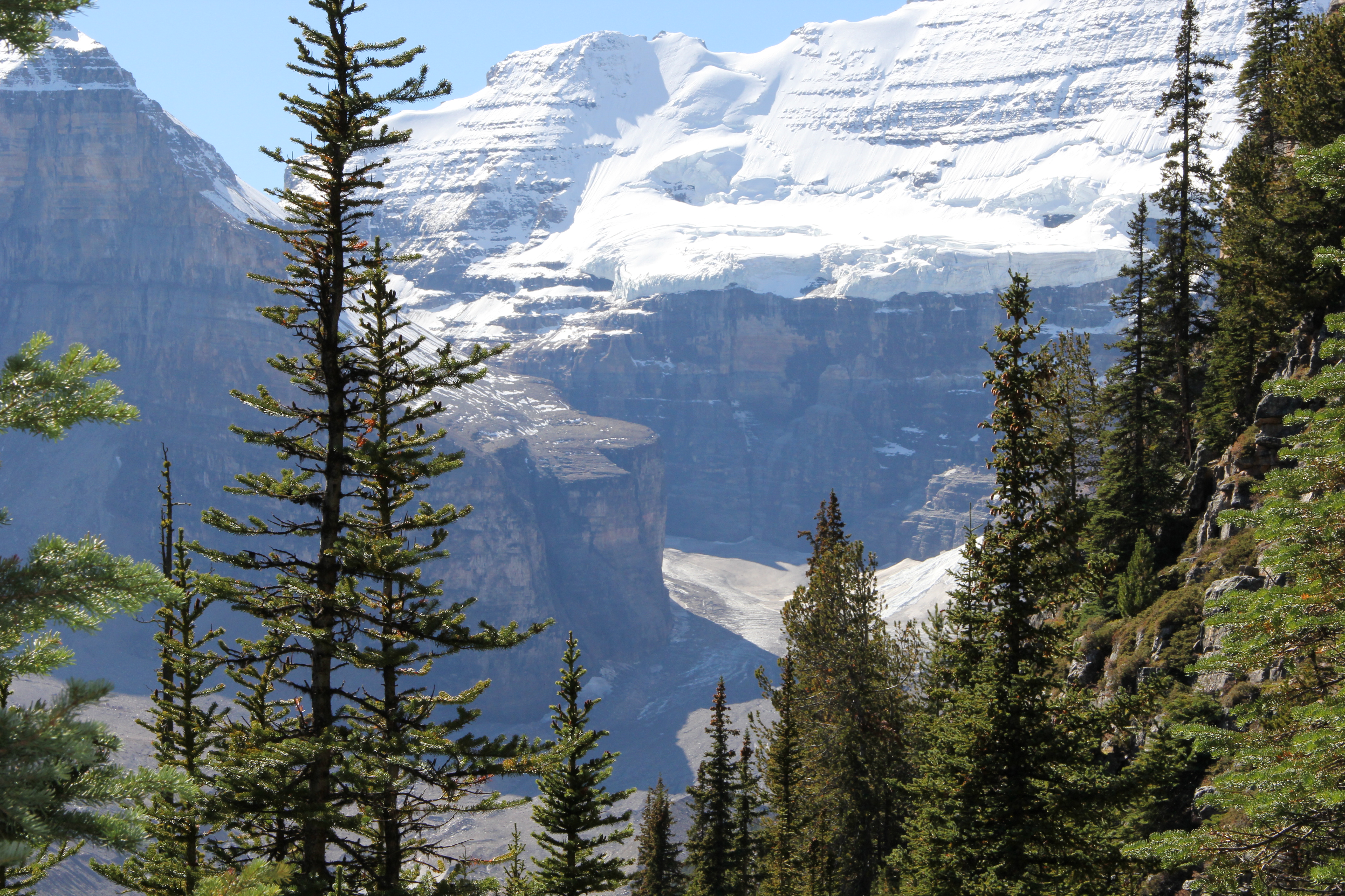
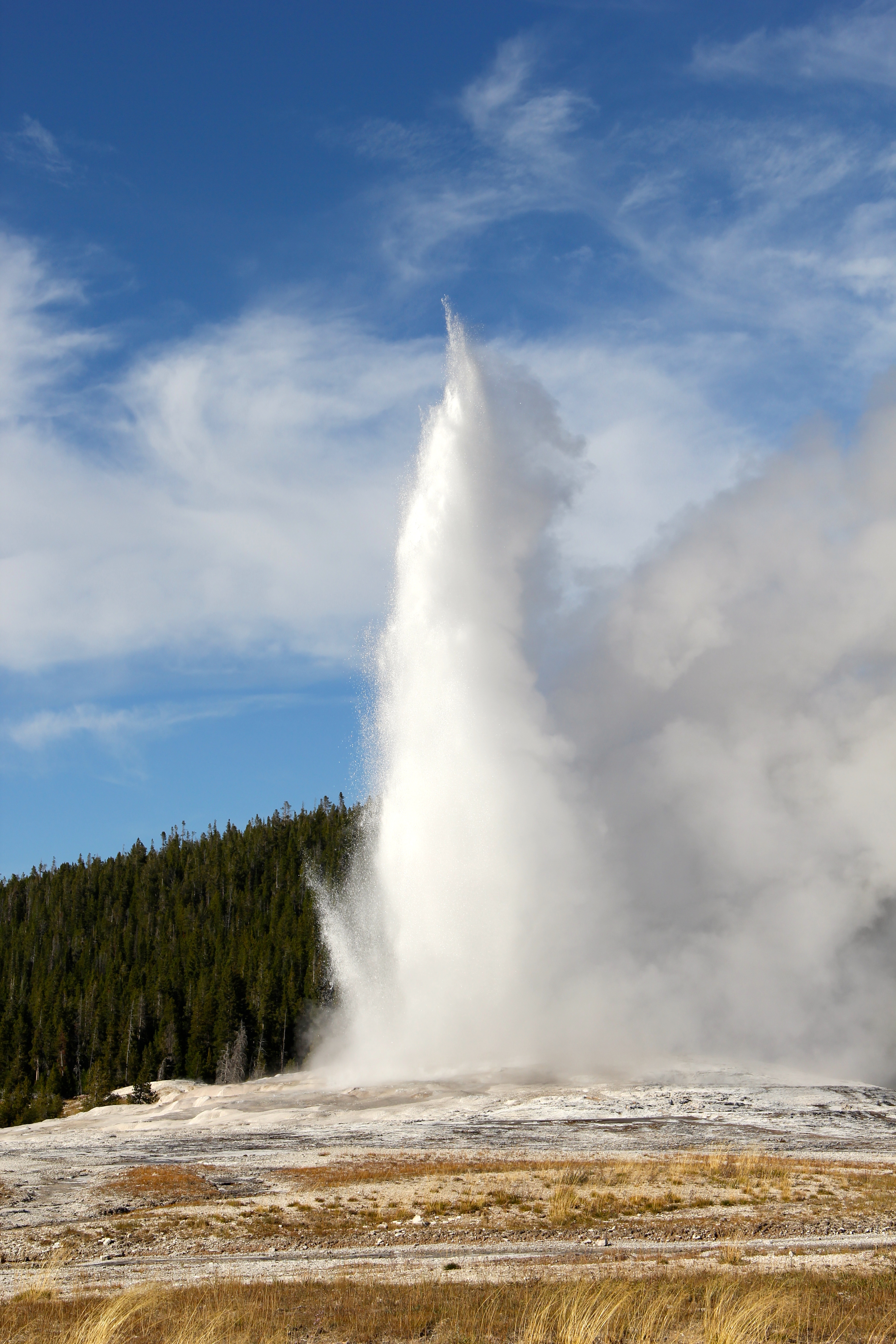
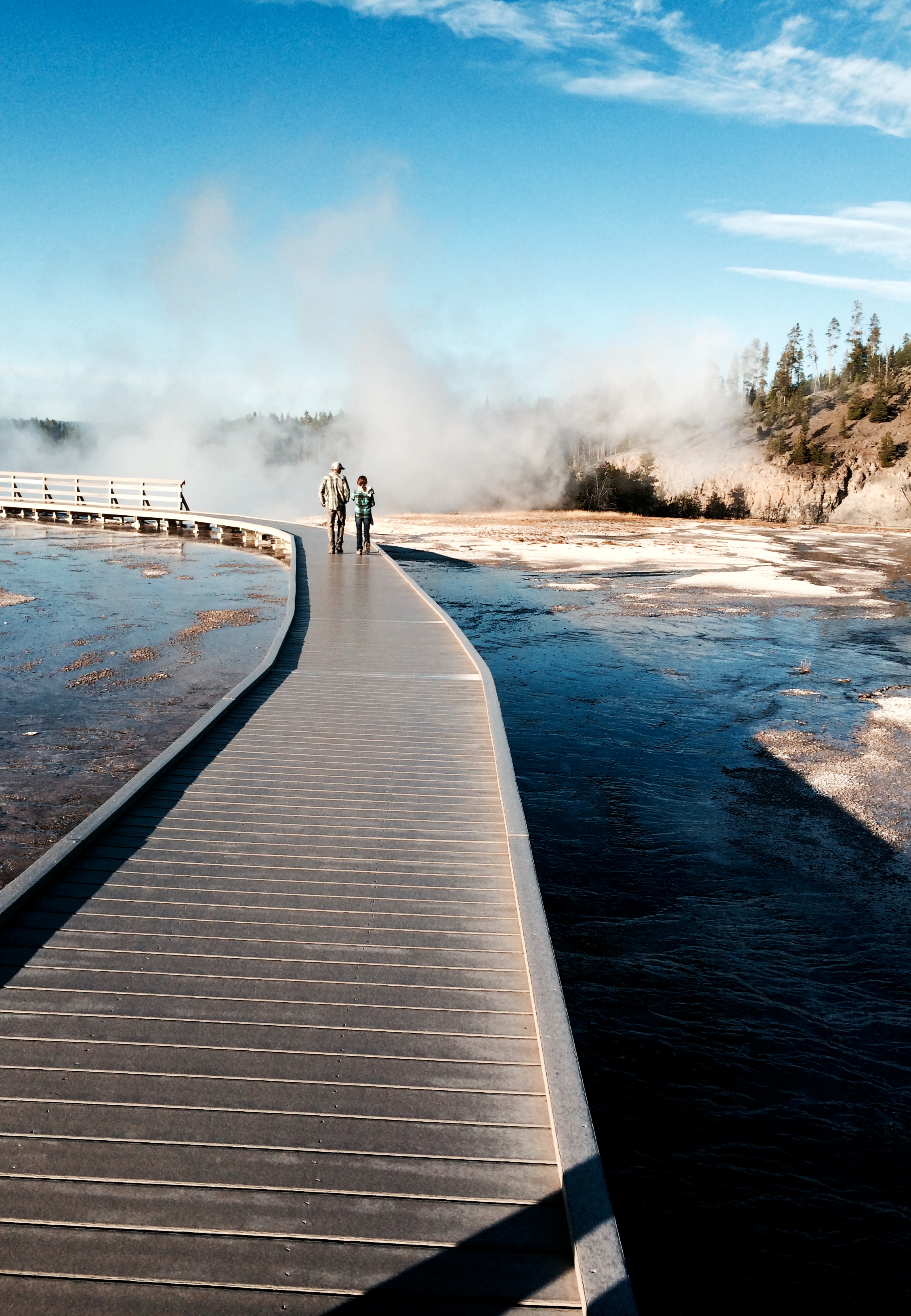
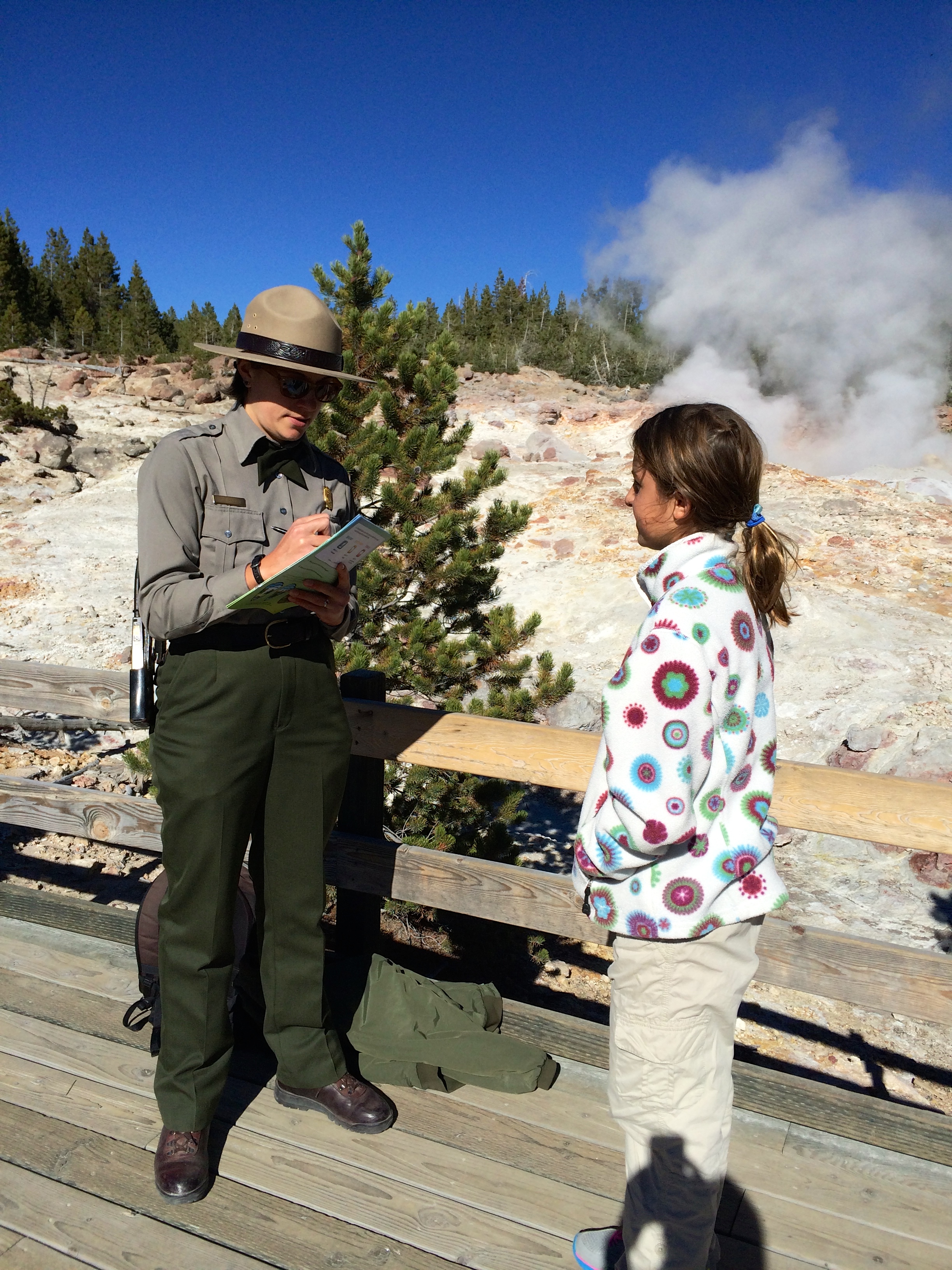
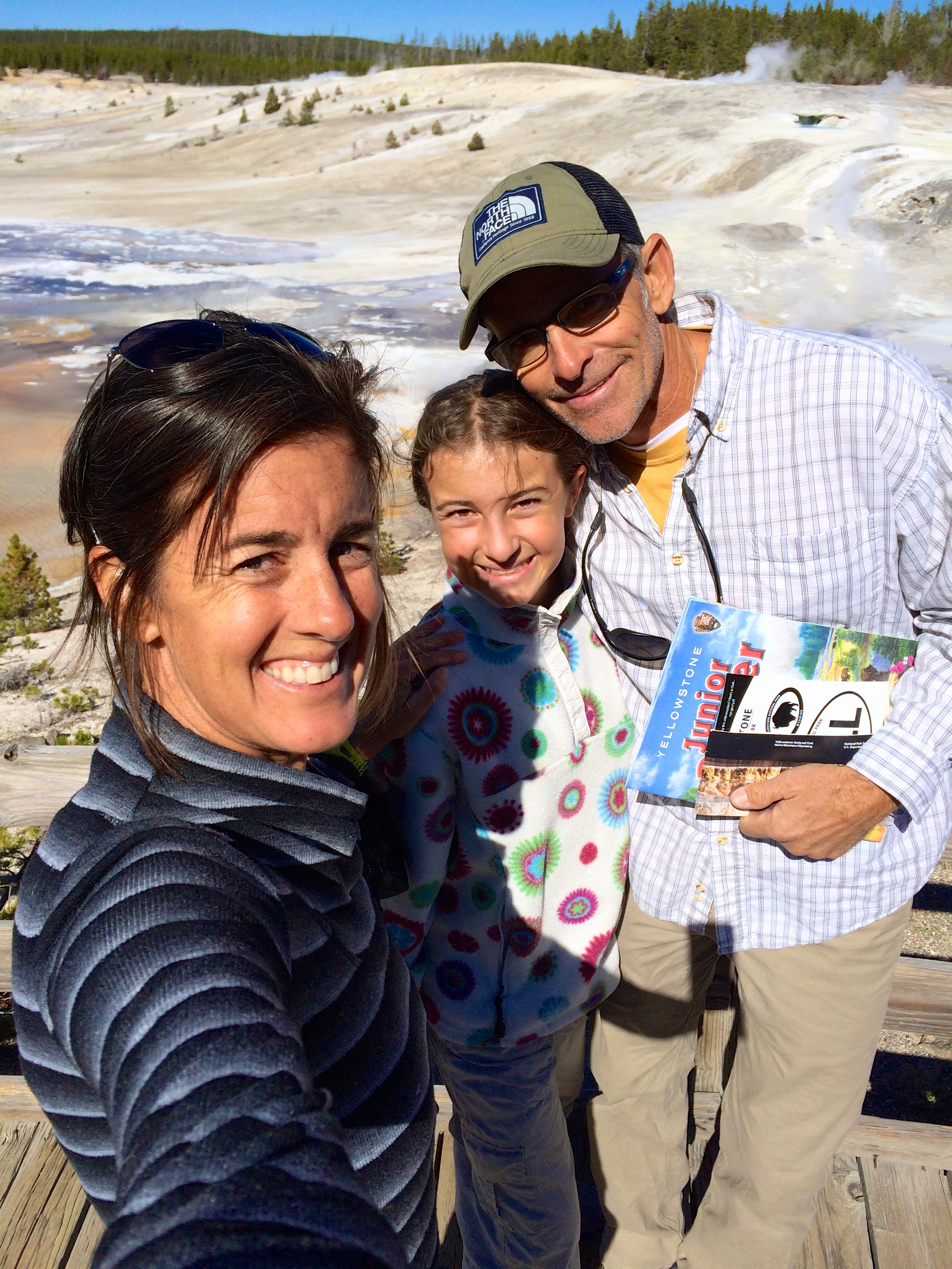
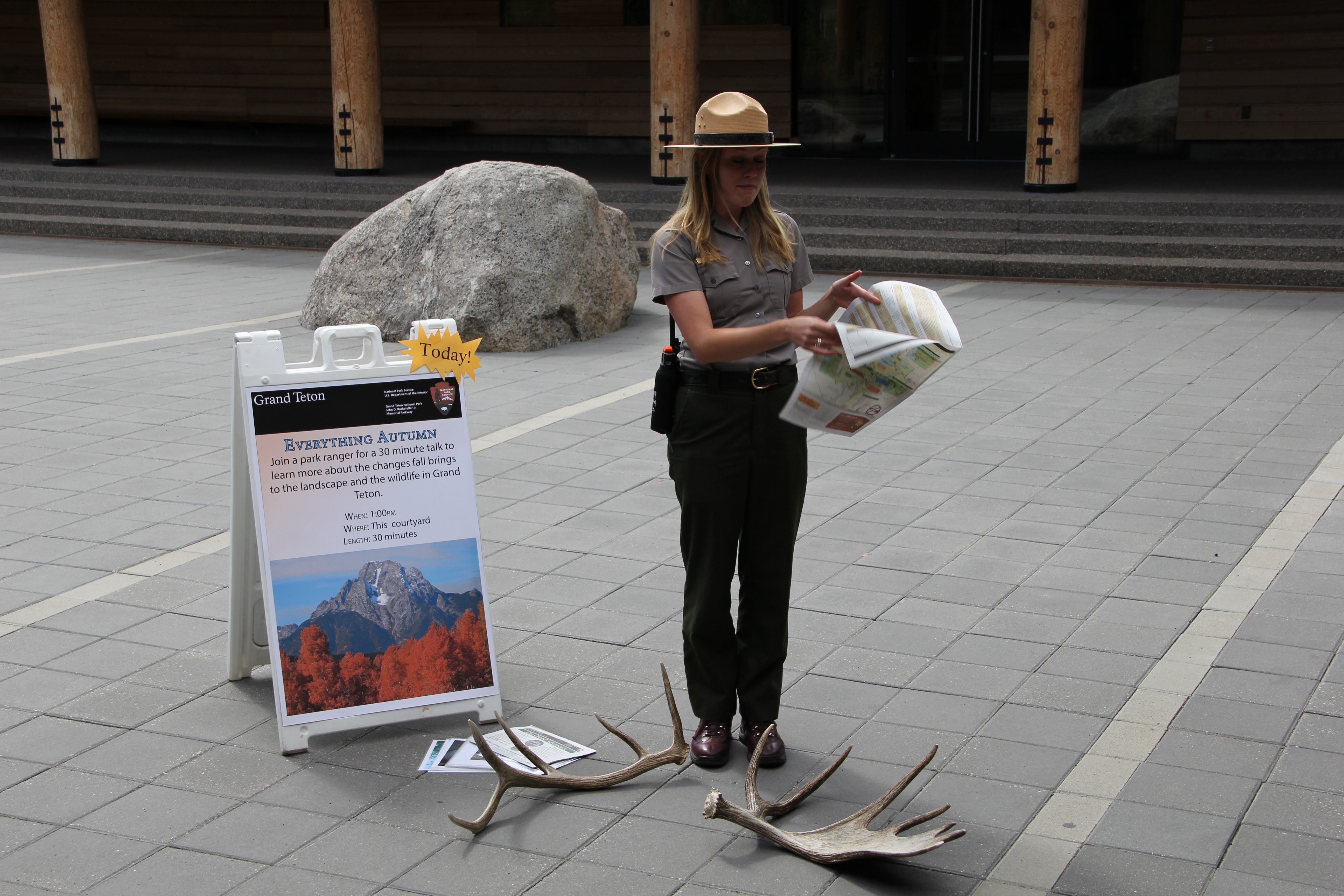
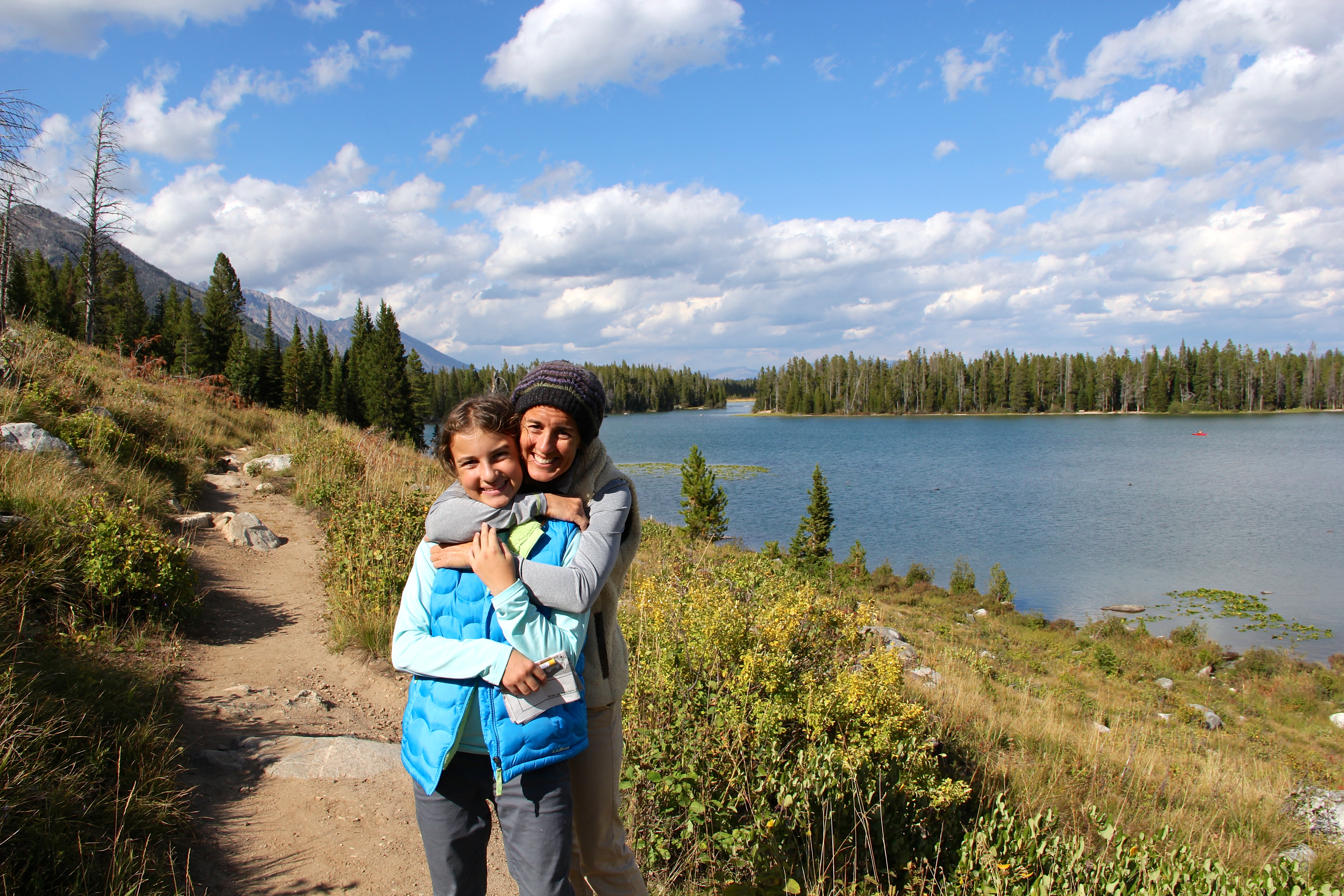
We saved the “best for last”… Old Faithful. (Well that wasn’t my favorite, but we couldn’t leave Yellowstone without witnessing this grand show!) We waited along with about 1500 other gawking tourist for about 45 minutes as she hissed and bubbled and left all of us asking the proverbial question… “how much longer do you think it will be….?” According to Old Faithful veterans, they said this eruption was very good! It lasted almost 4 minutes with impressive heights! After watching Old Faithful erupt we then hit the Ranger center to complete Savannah’s Yellowstone National Park, Jr. Ranger Badge that she had been working on for 2 days.

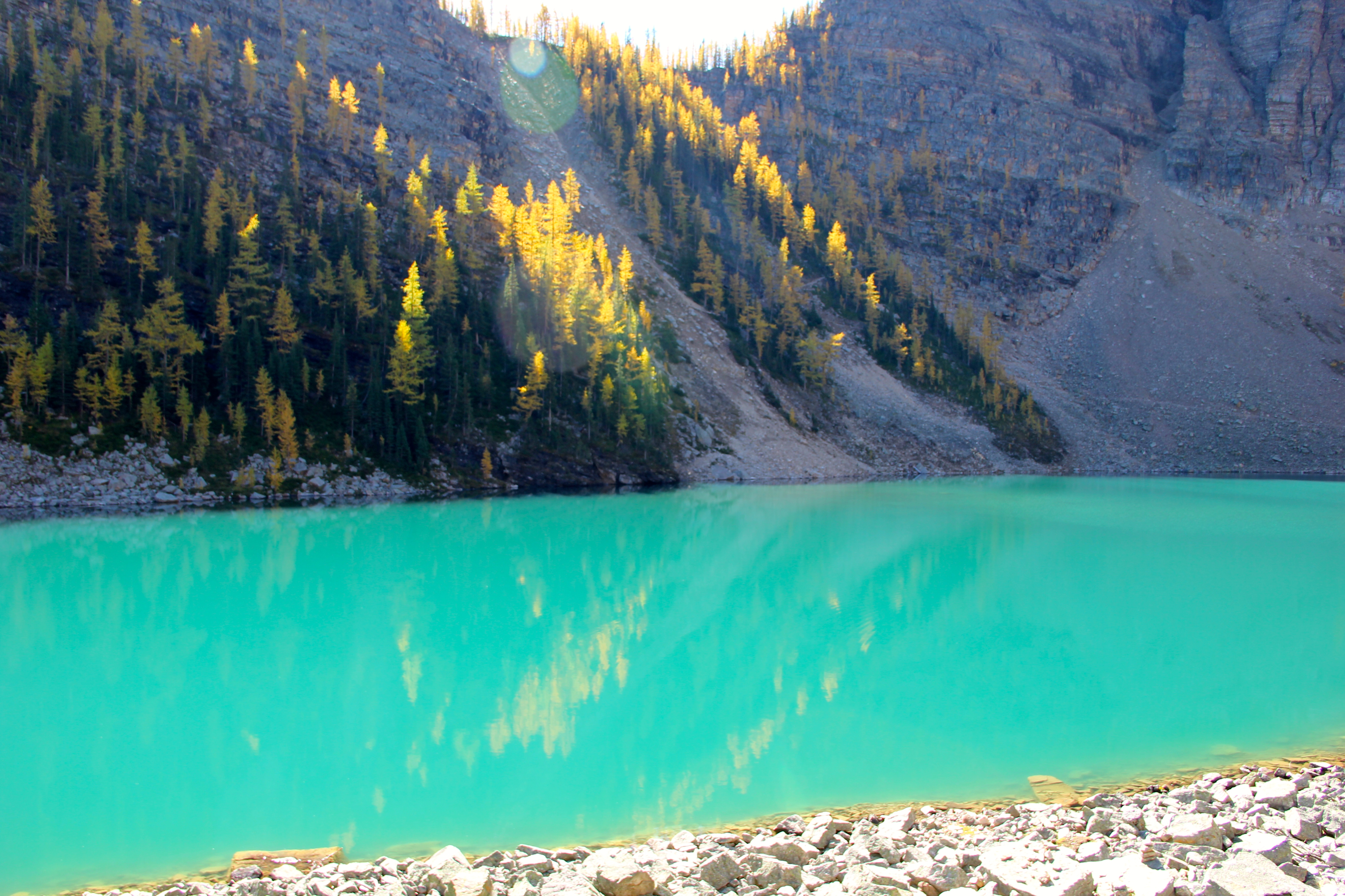
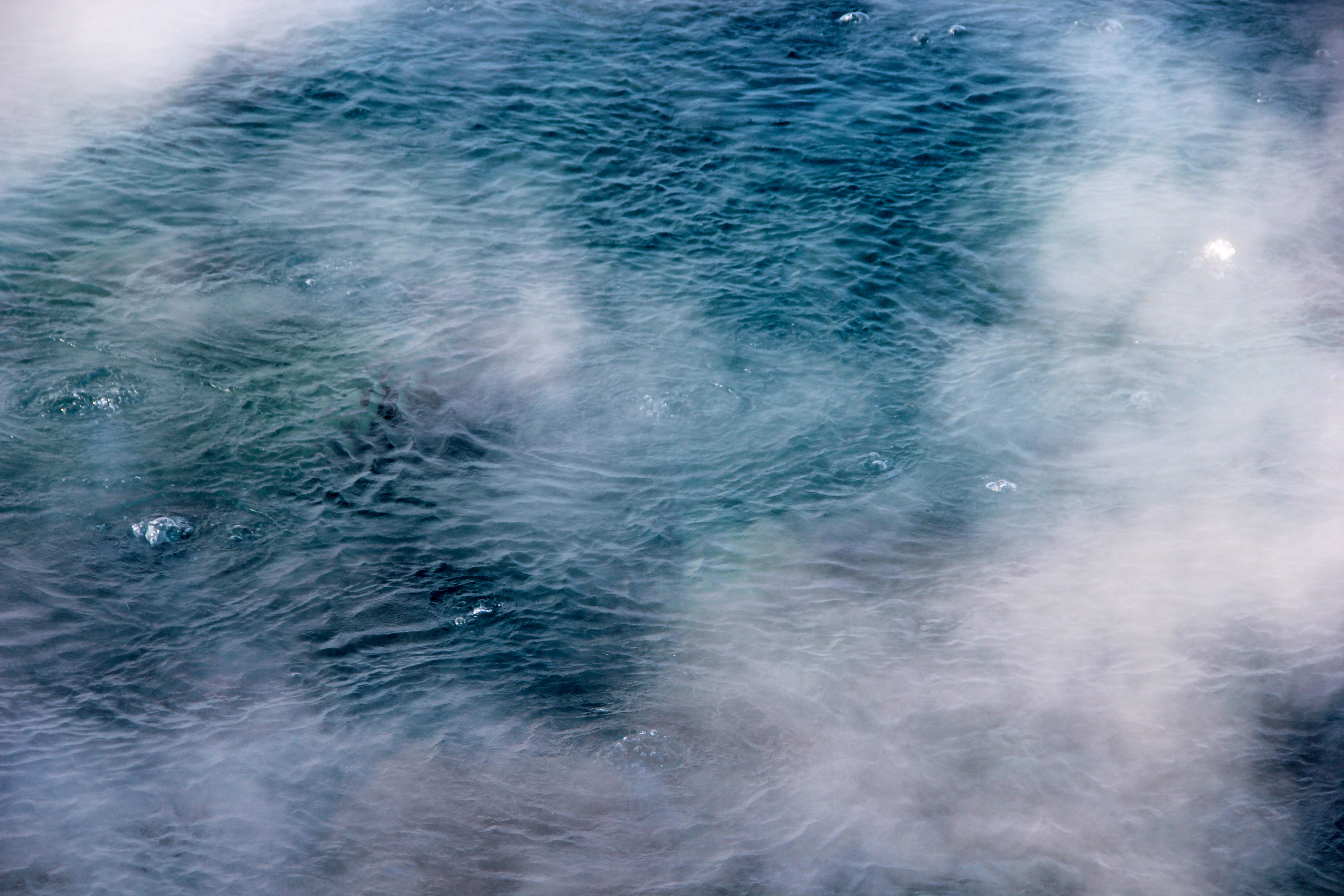
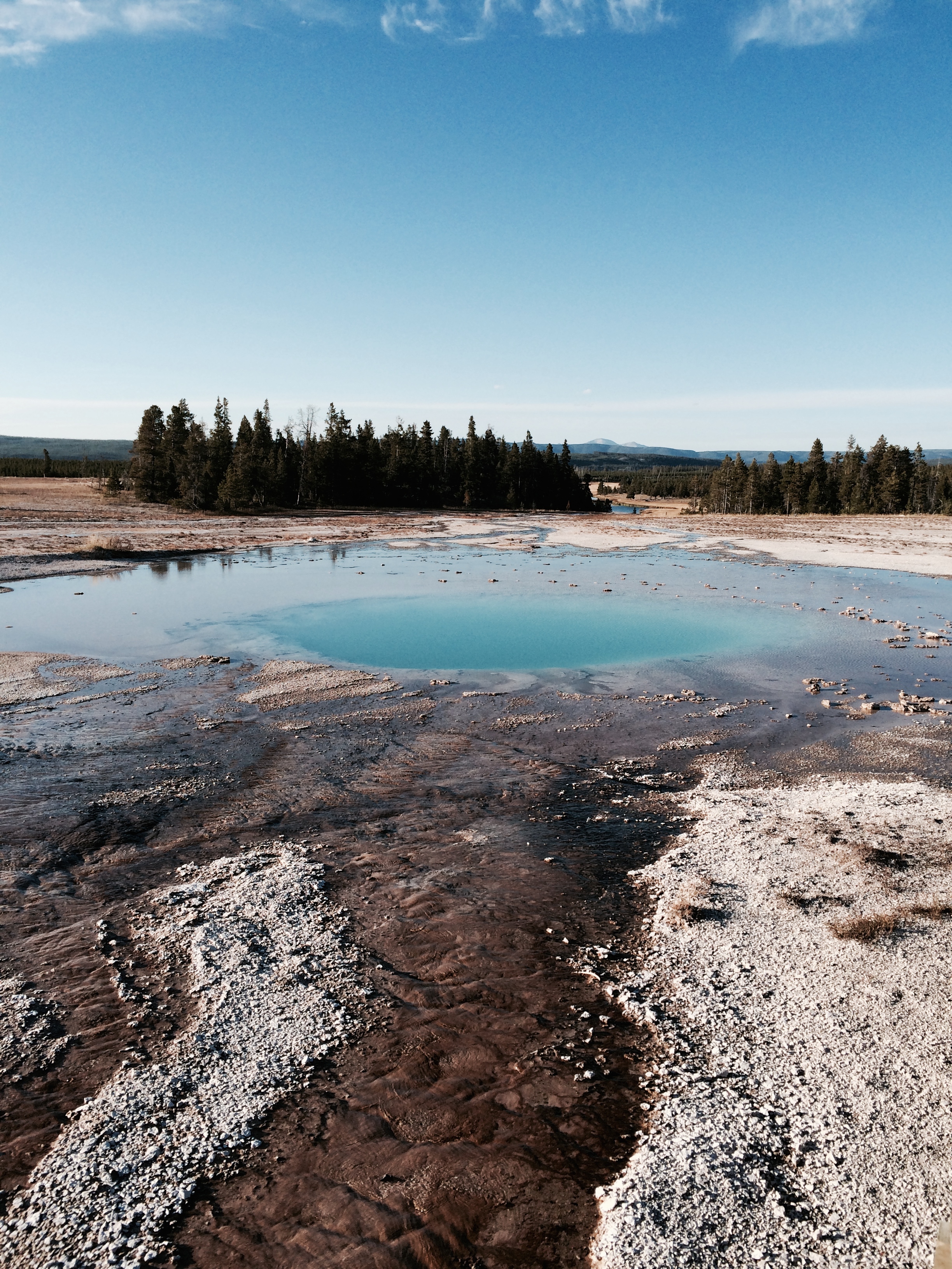
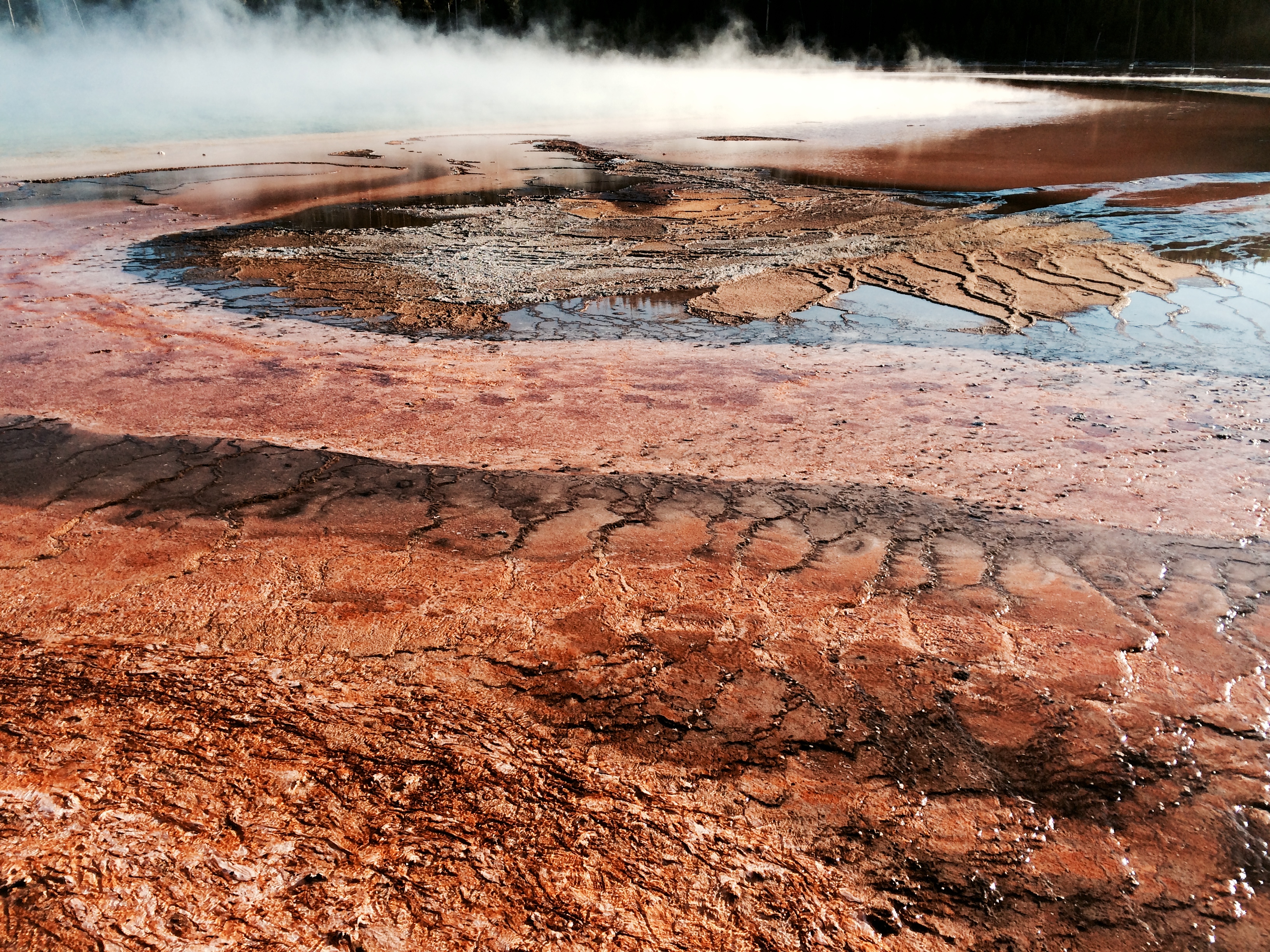
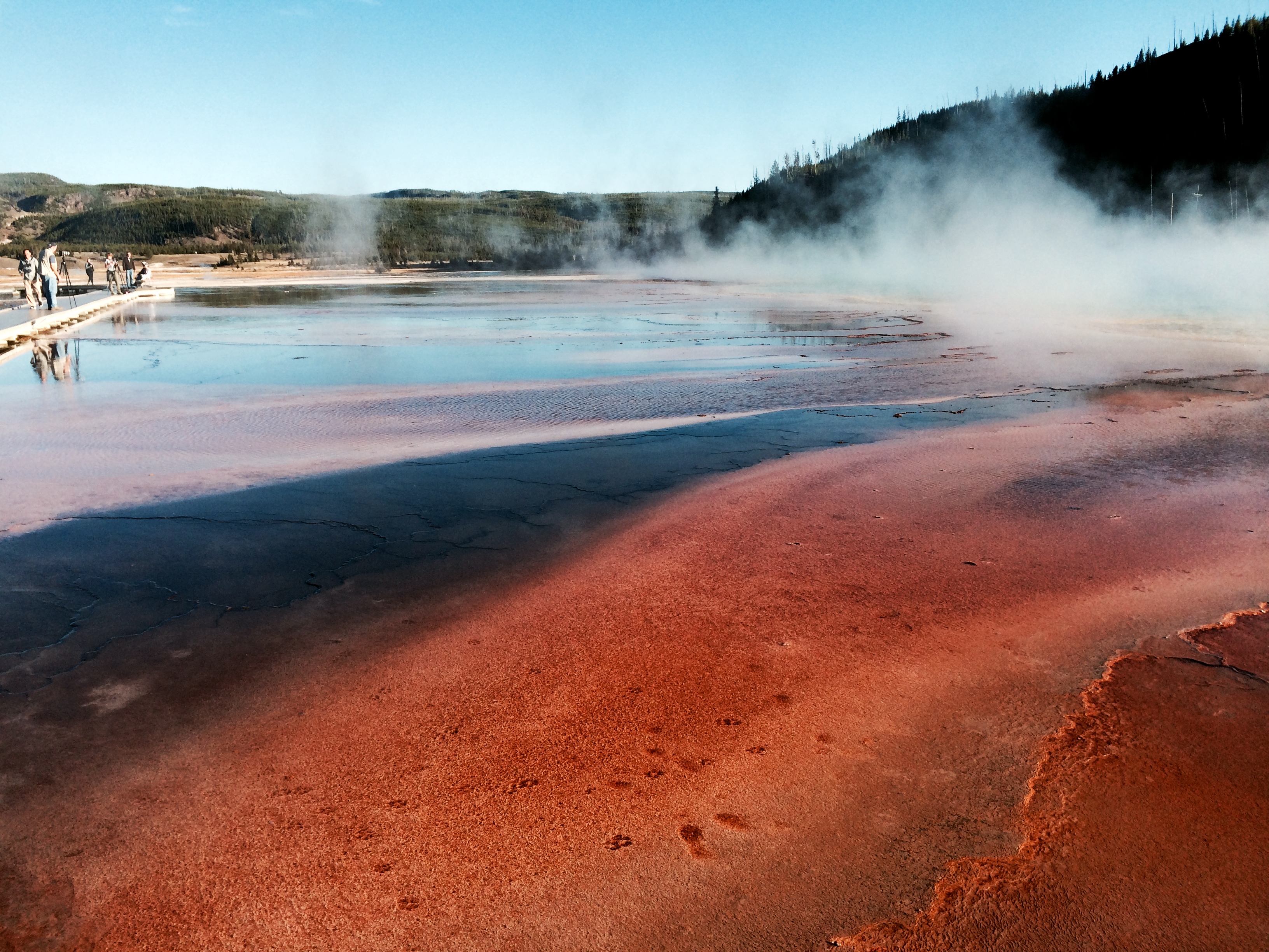
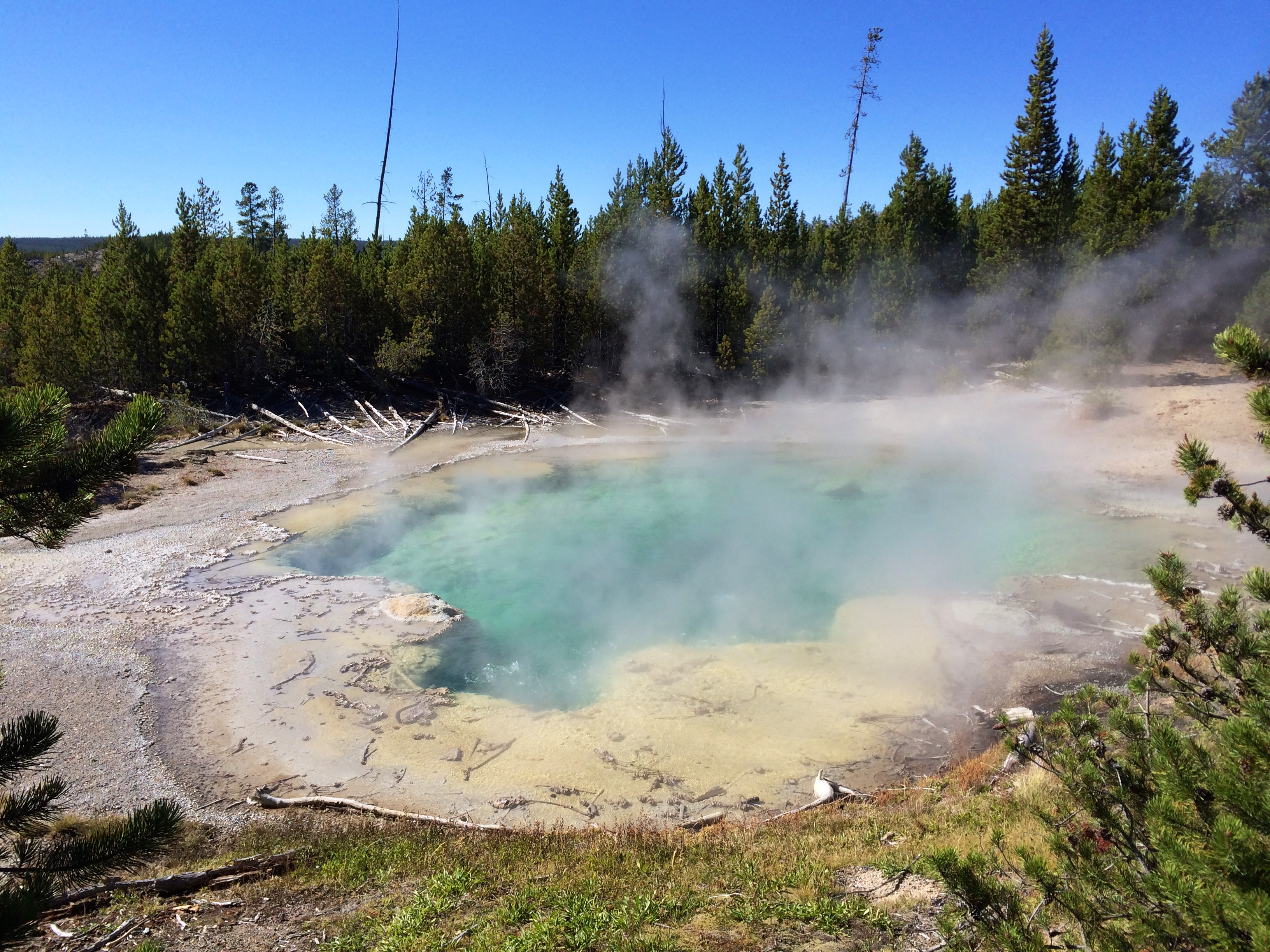
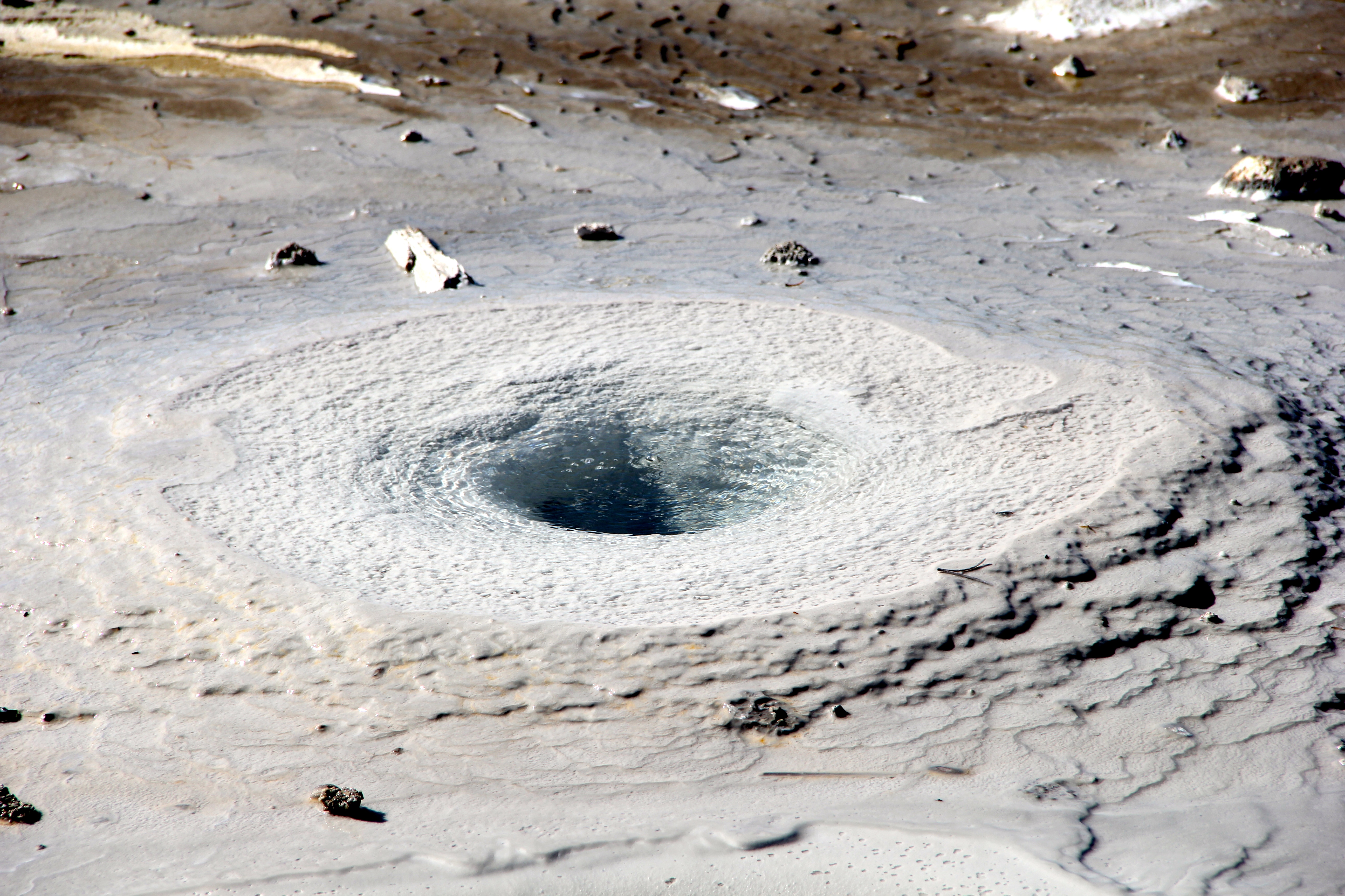
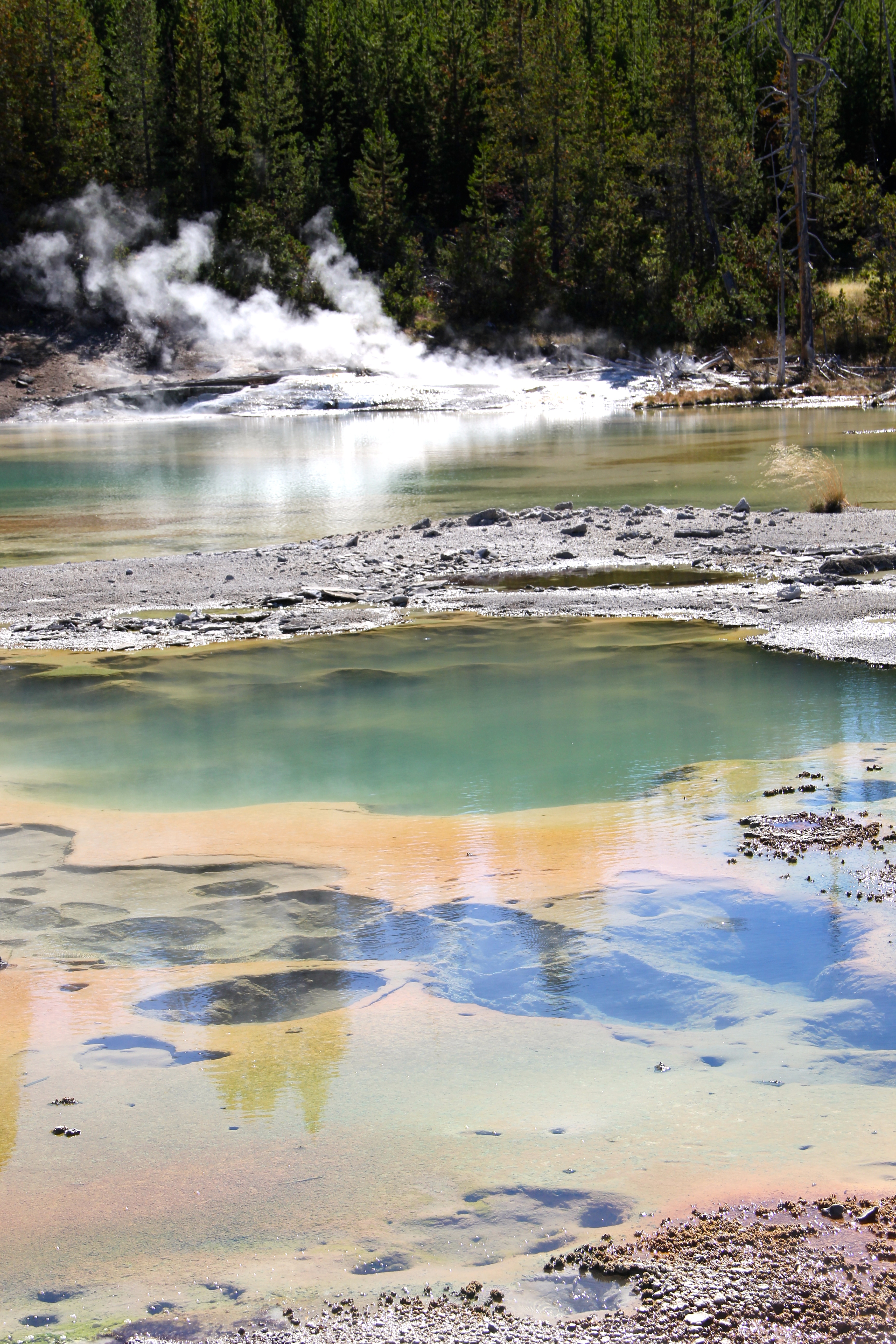
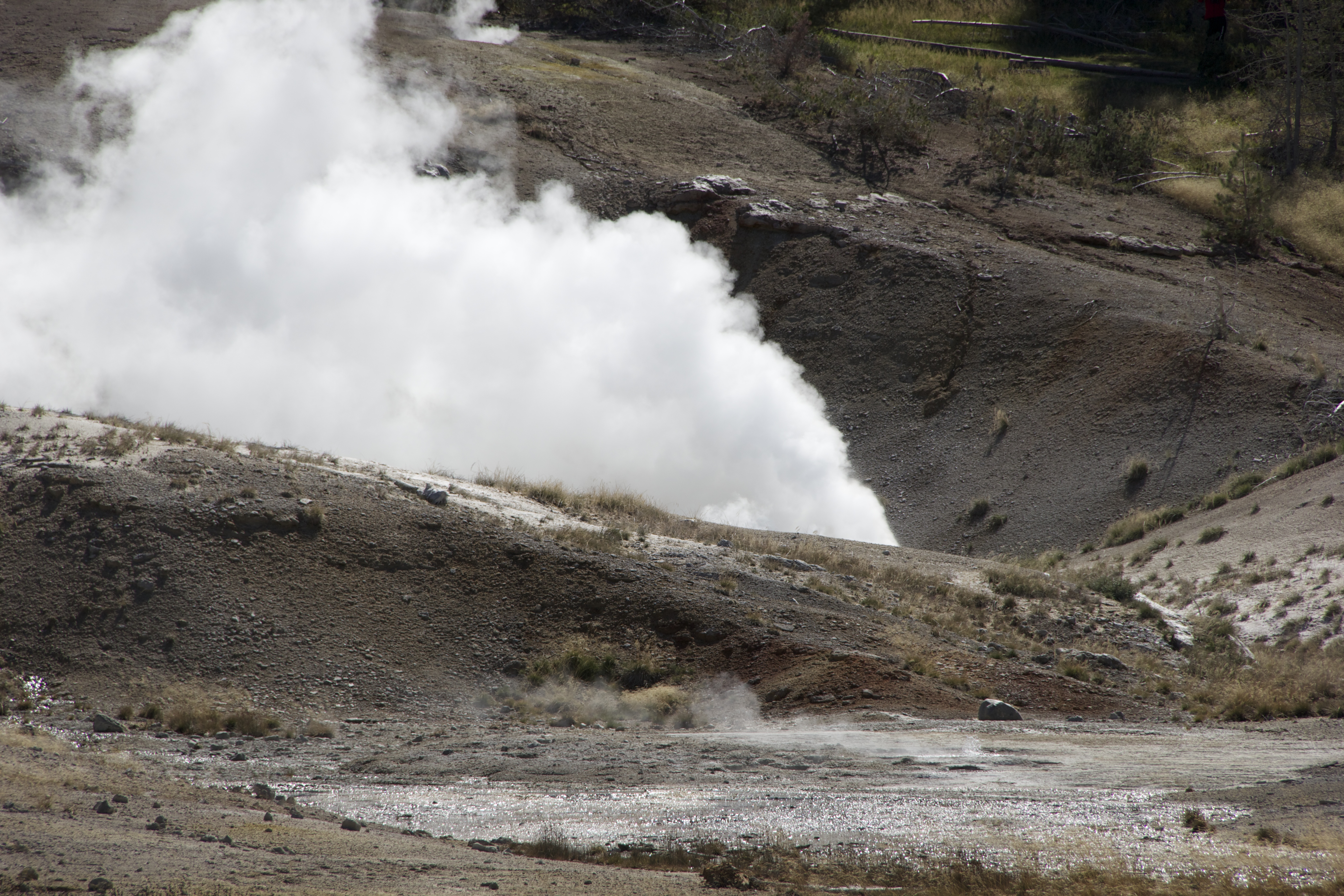
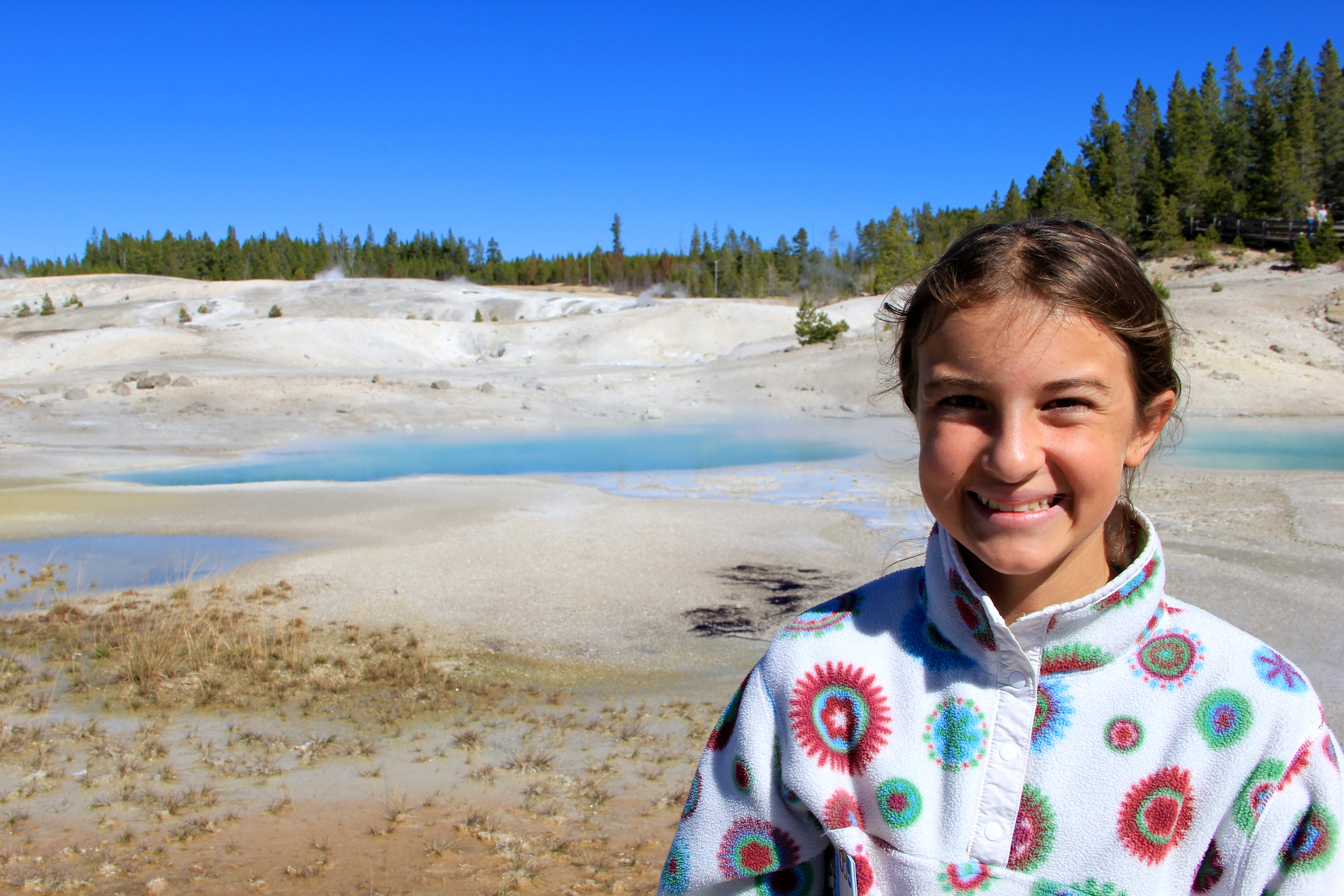
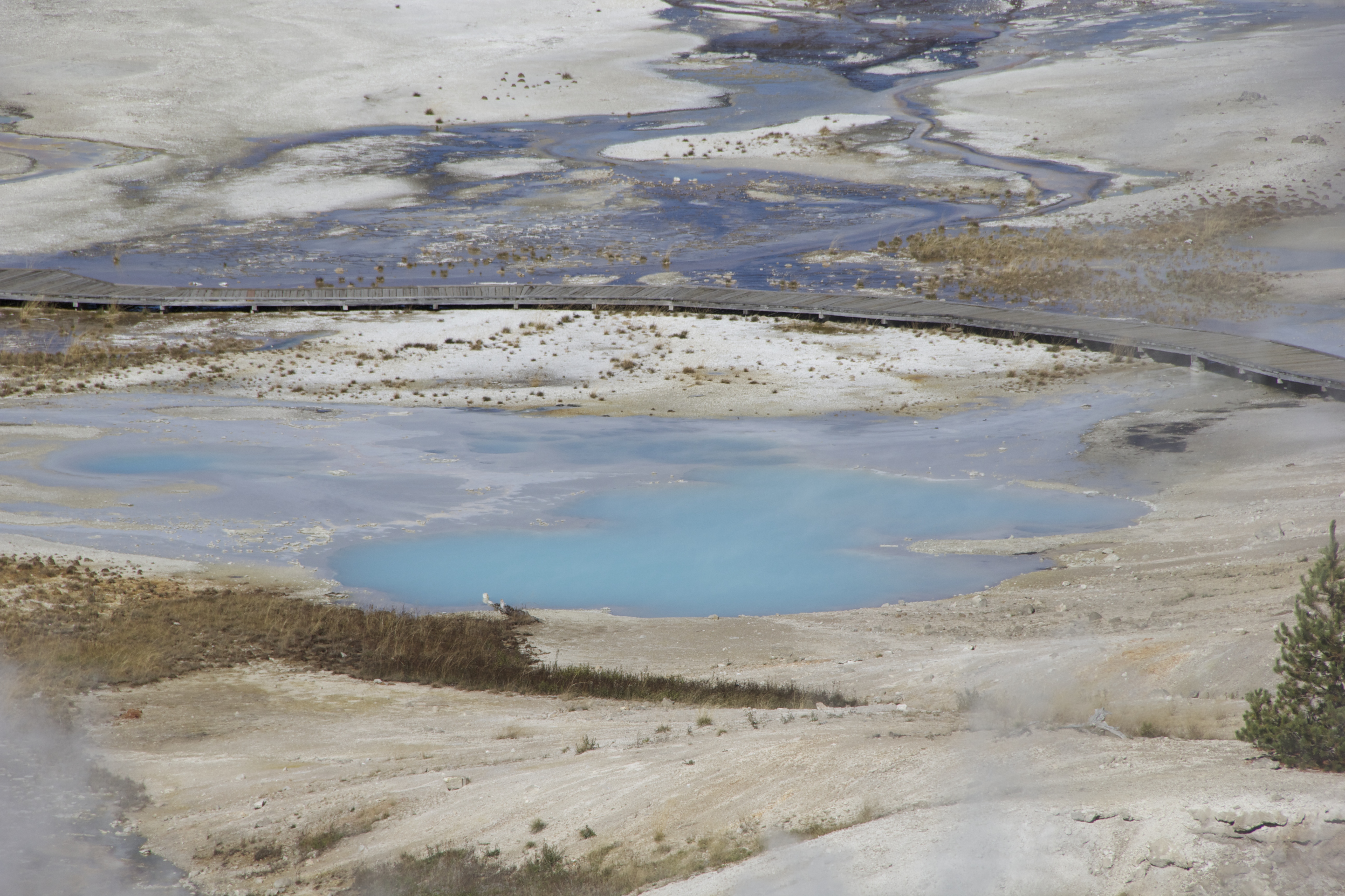
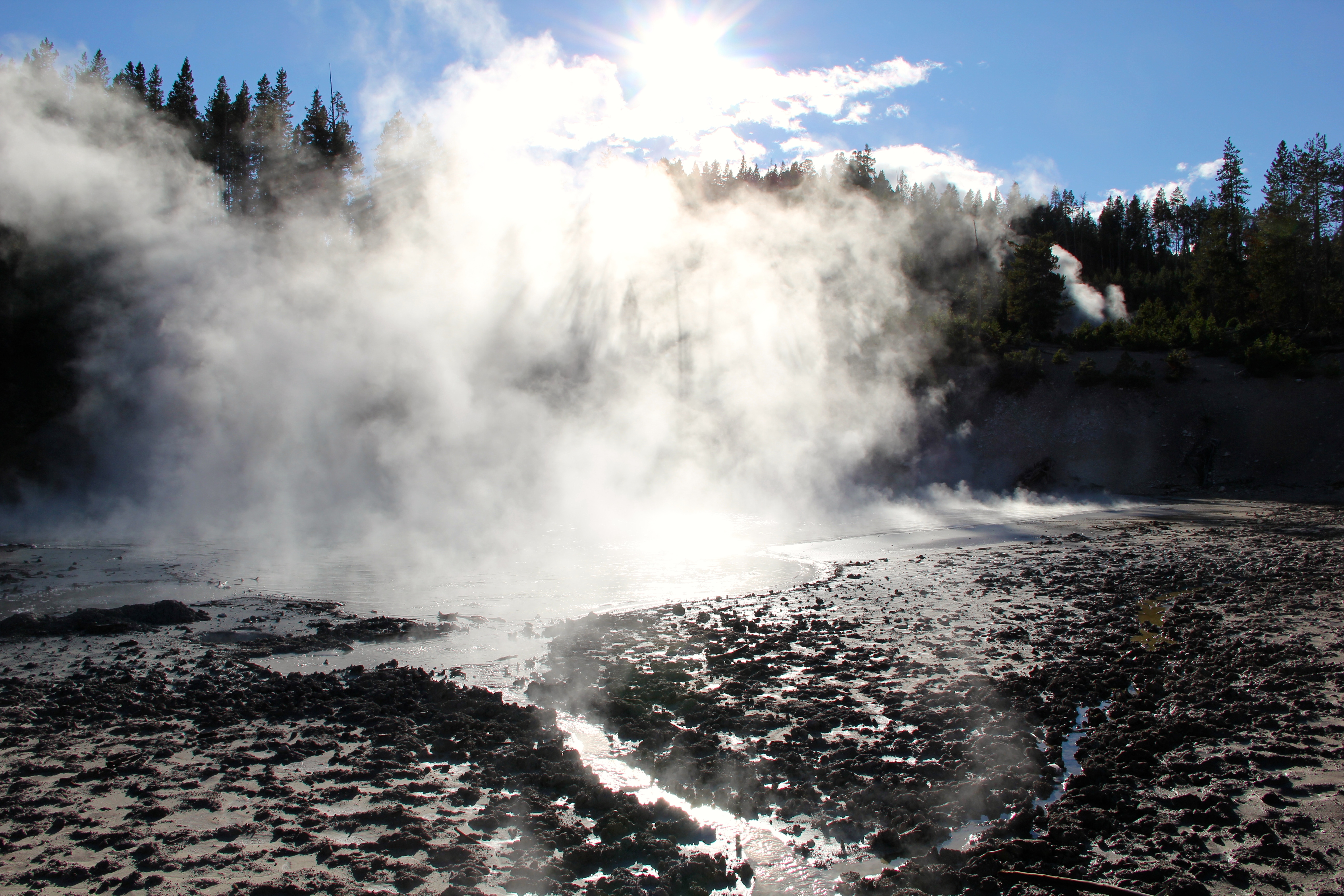
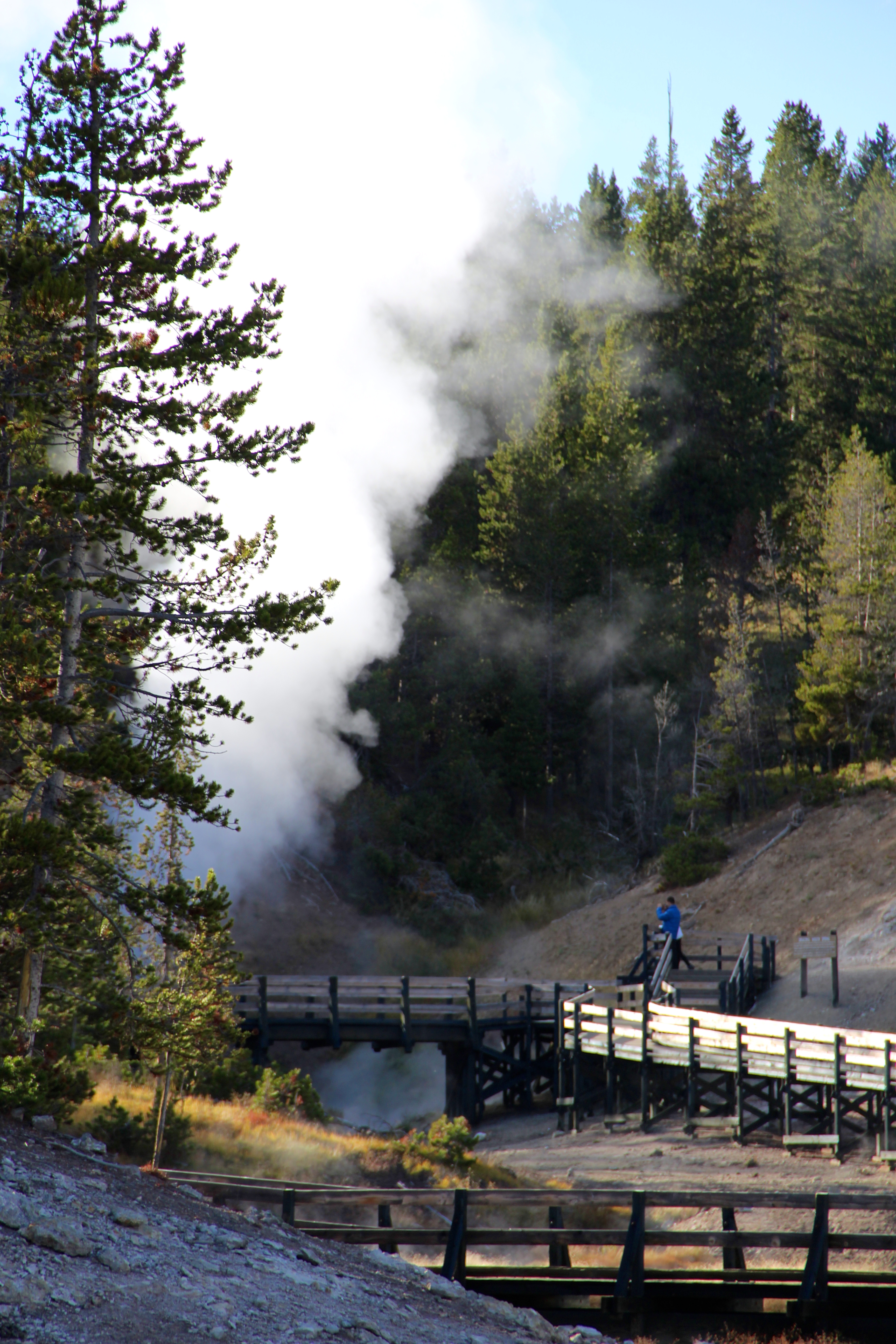
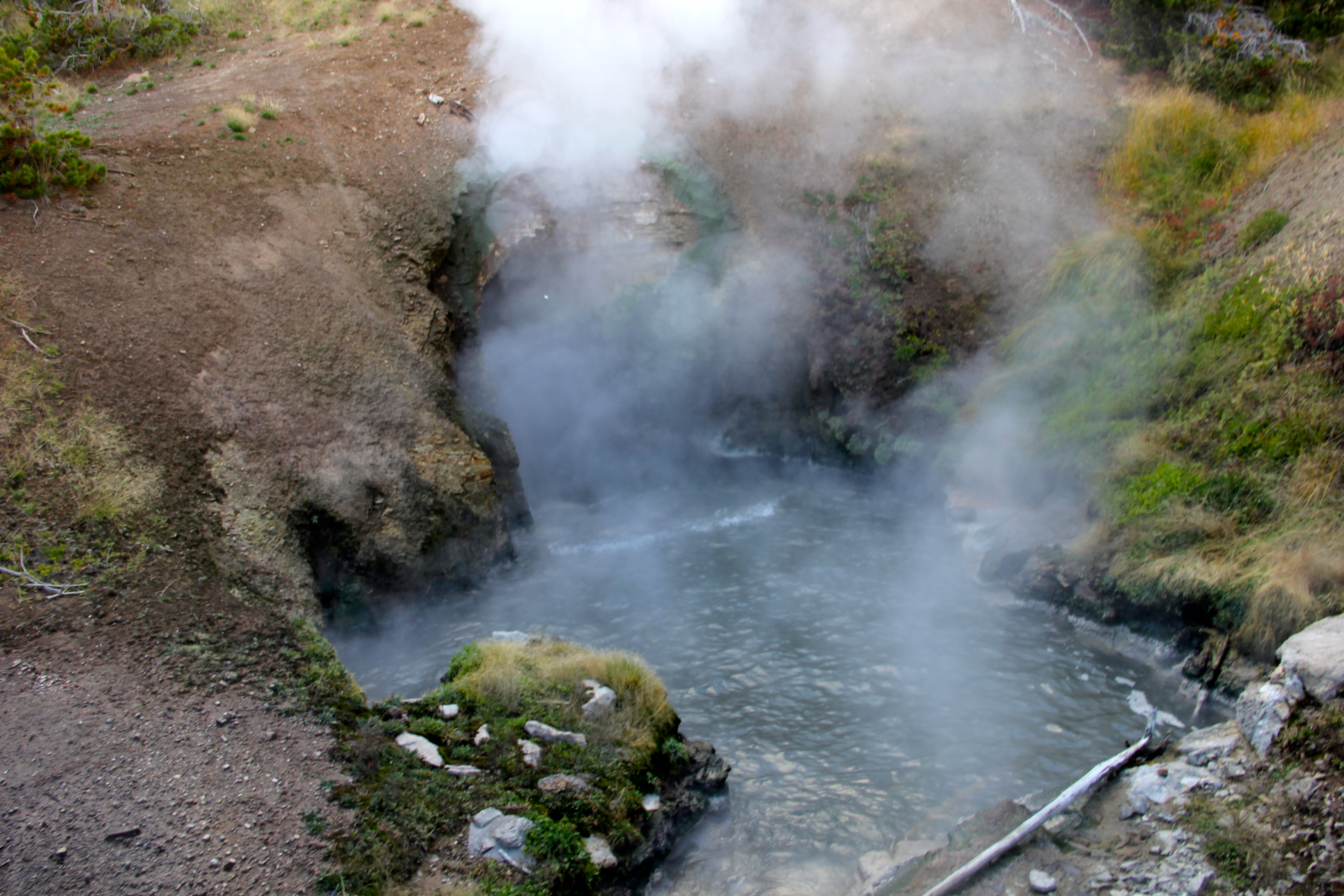
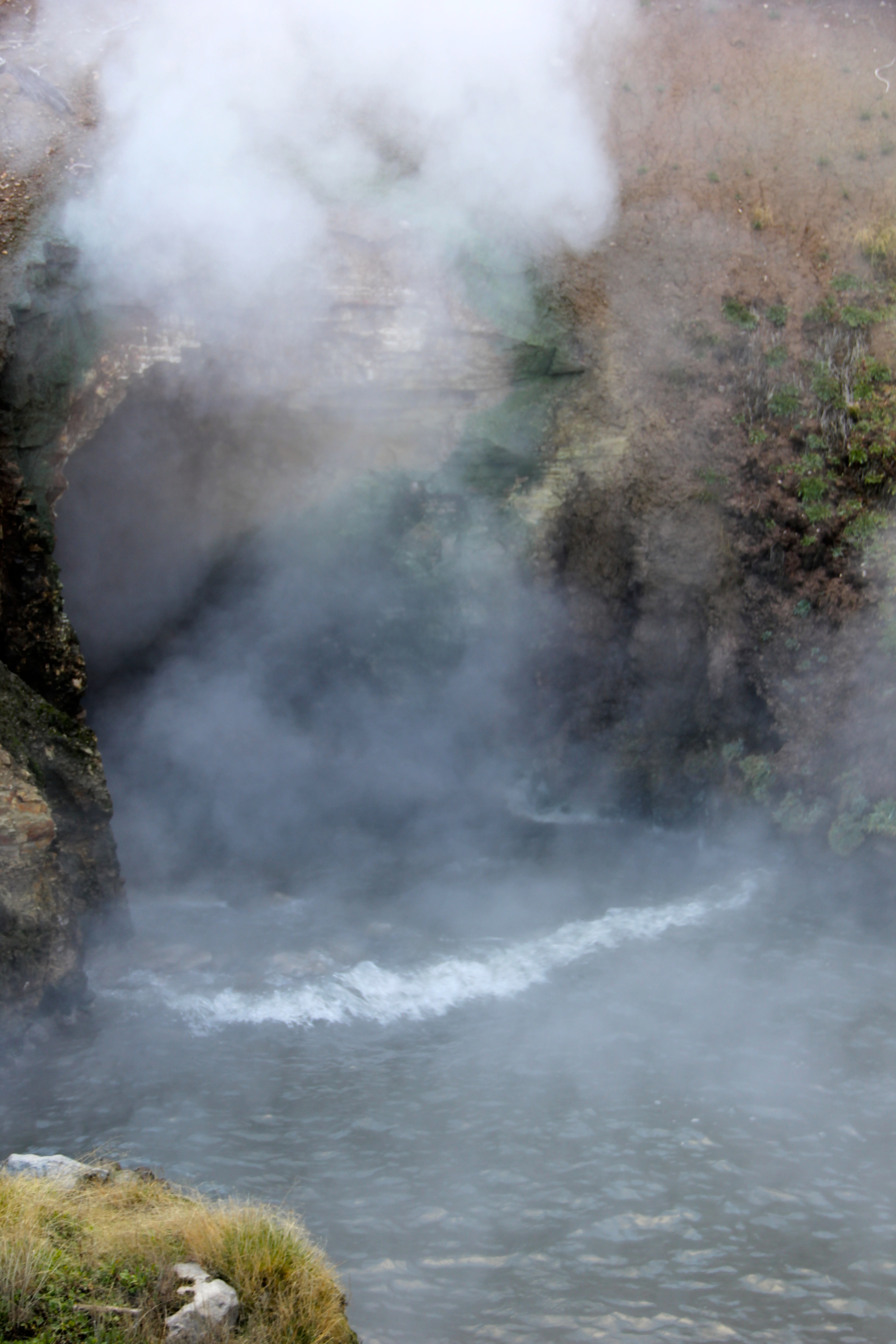
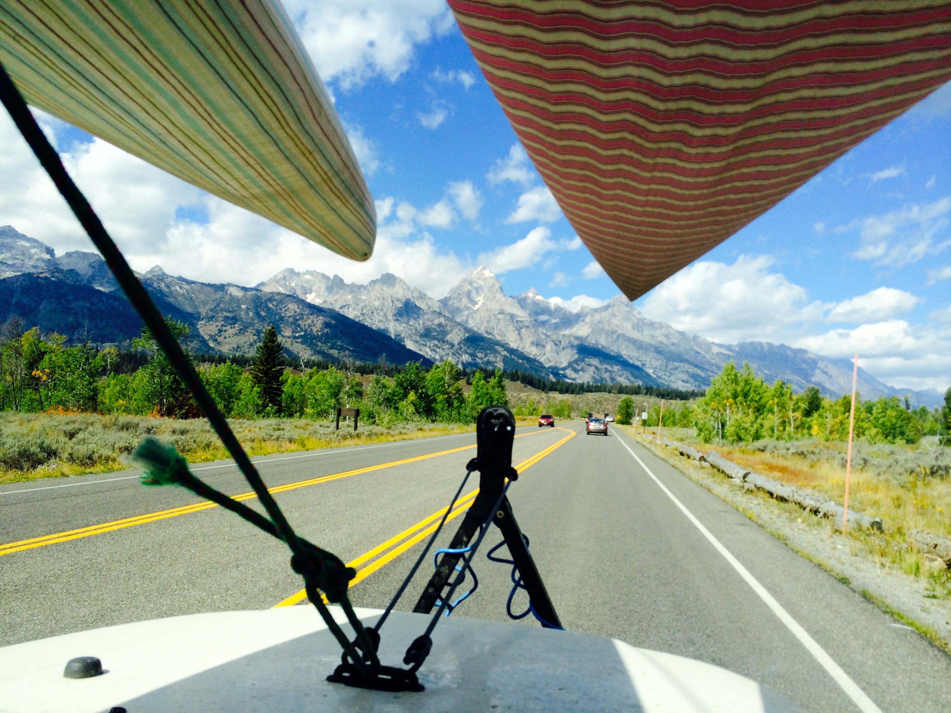
We then hit the Grand Prismatic Spring. I found these Hydrothermal Features to be the most photographic and interesting even to just ponder. “Throughout Yellowstone, the ribbons of color in and around the thermal features are usually formed by thermophiles (heat loving organisms). These organisms-algae, bacteria, and archaea-are primitive life forms that have inhabited the earth for almost four billion years. Cyanobacteria, which are common in the Old Faithful area, thrive in temperatures up to 167 F. Other thermophiles exist in even hotter water. Research on some of these life forms has sparked revolutions in an array of scientific fields. In 1966, Dr. Thomas Brock discovered a bacterium, Thermus aquaticus, in a Yellowstone hot spring. Scientists extracted an enzyme from this bacterium, which has contributed to developing DNA “finger-printing,” a powerful tool widely used in criminal and medical research. Numerous other thermophiles have been found in Yelowstone, each producing unique enzymes potentially important to society….”

The different colors of the Grand Prismatic Spring represent different temperatures. The color around hot springs may offer clues. Trillions of tiny single-celled organisms, called microbes, live in the hot water. One microbe is too small to see with the naked eye, but grouped together they appear as brilliant bands of color. Each microbial community lives in a favored temperature range, ranging from 95 degrees F to 198 degrees F.

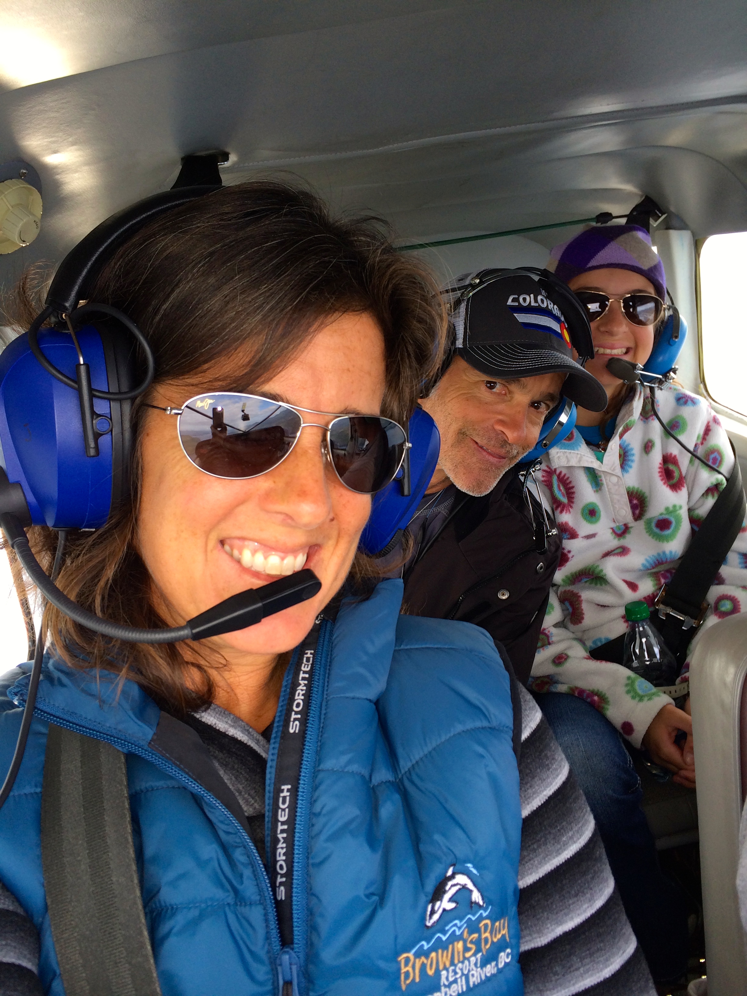
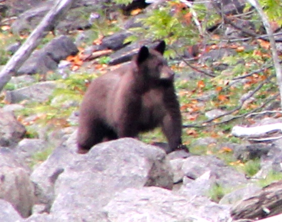
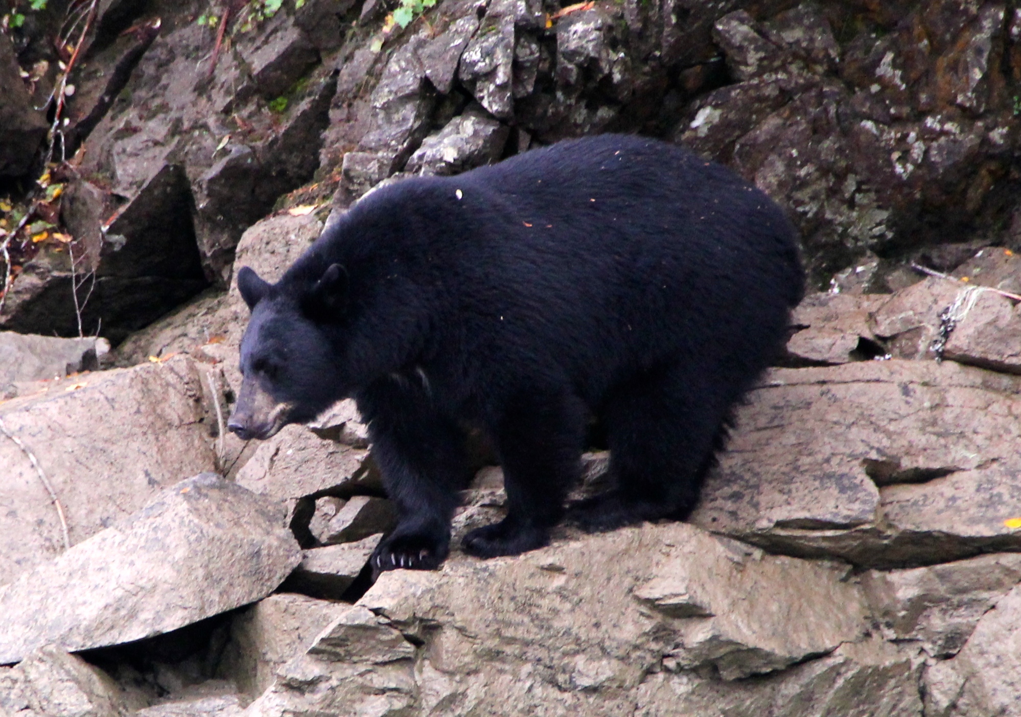
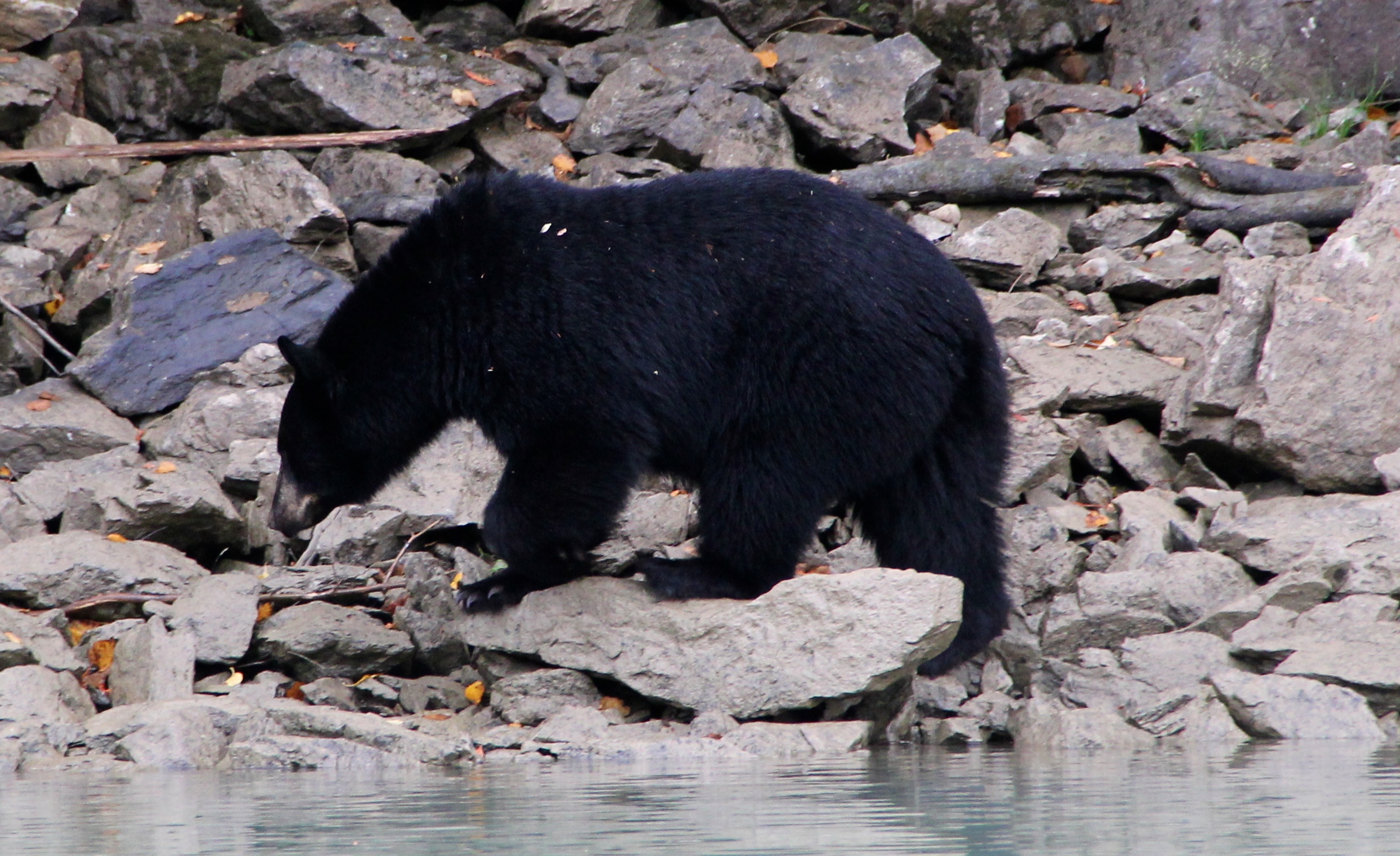
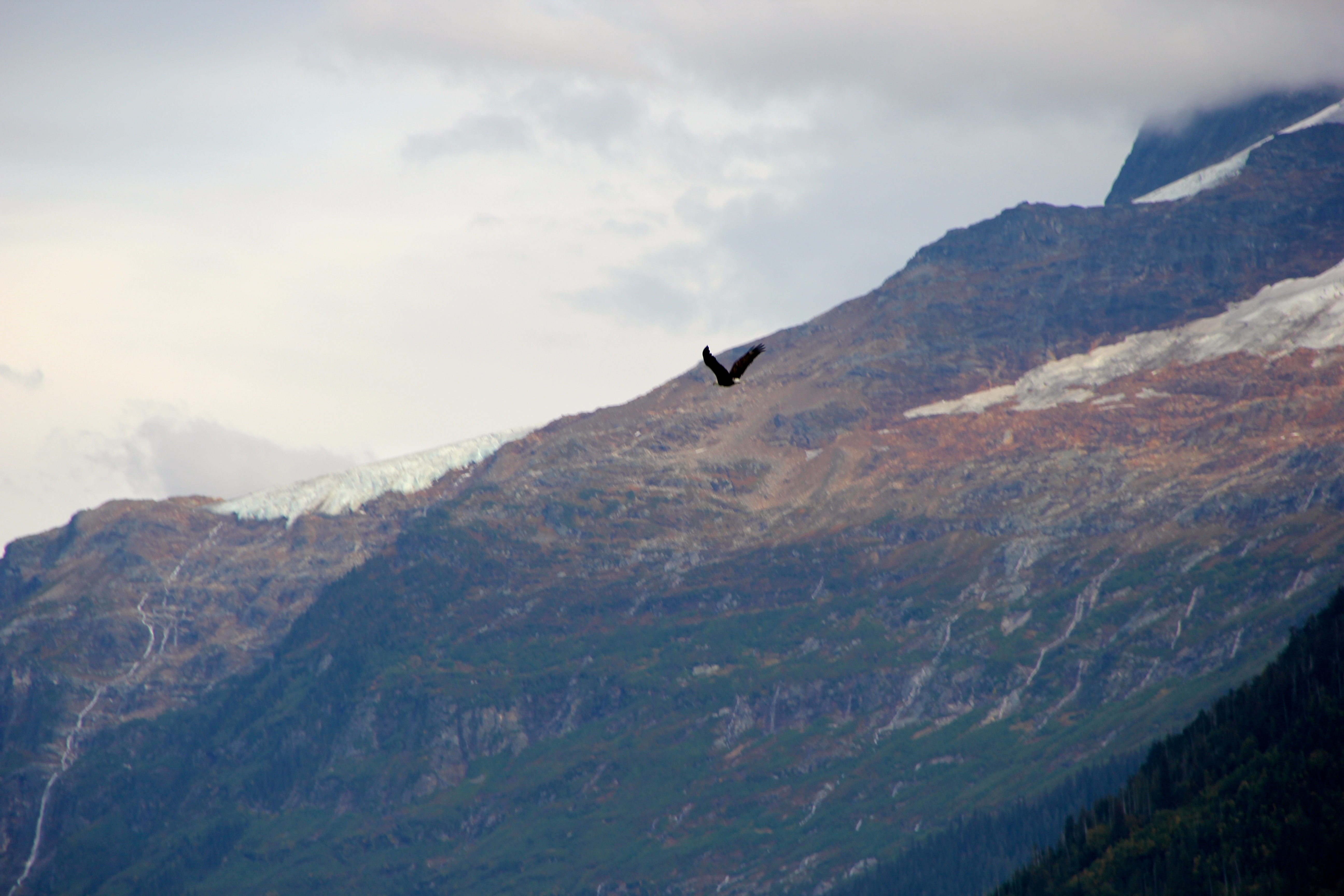
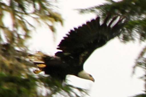
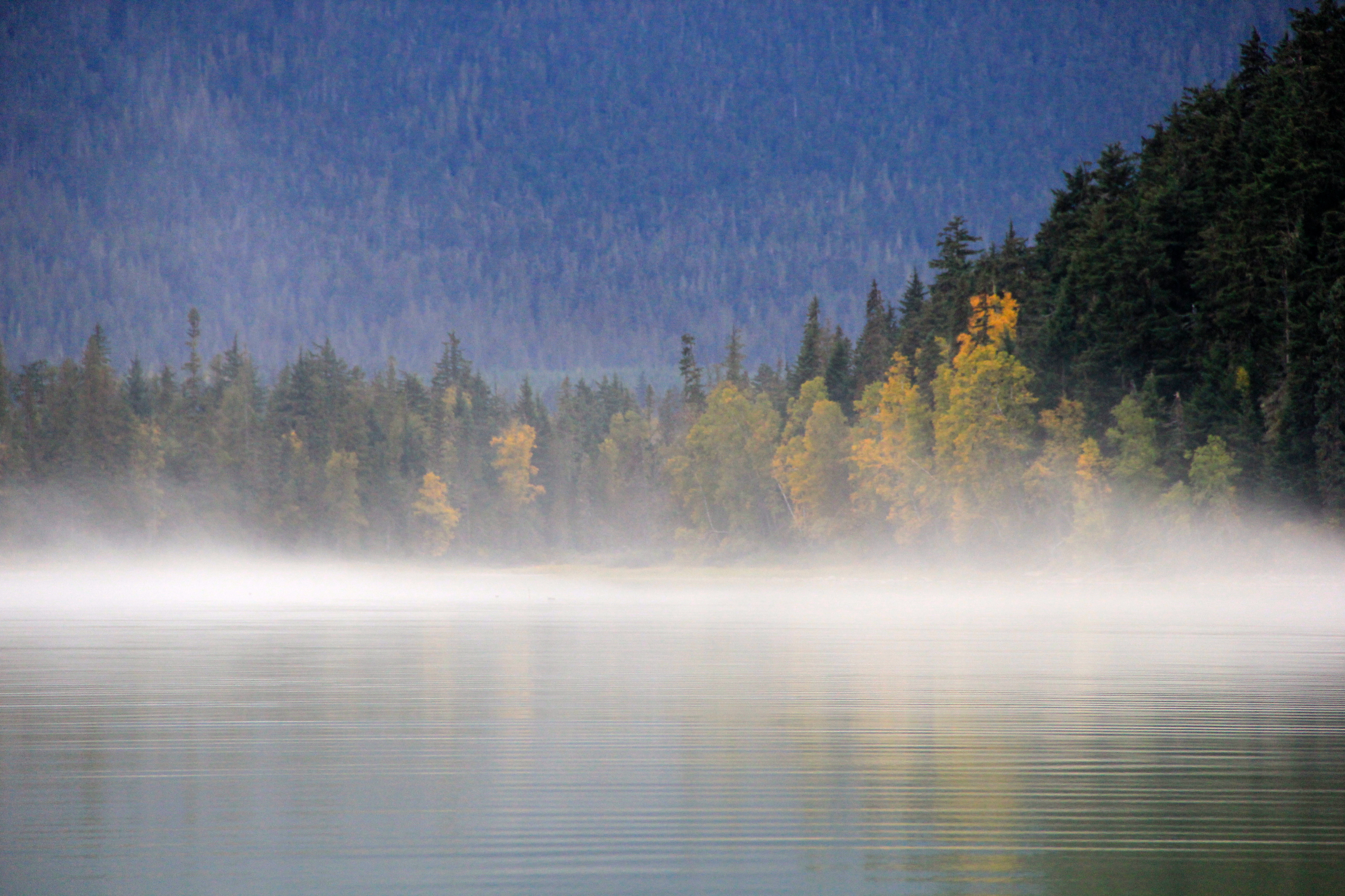
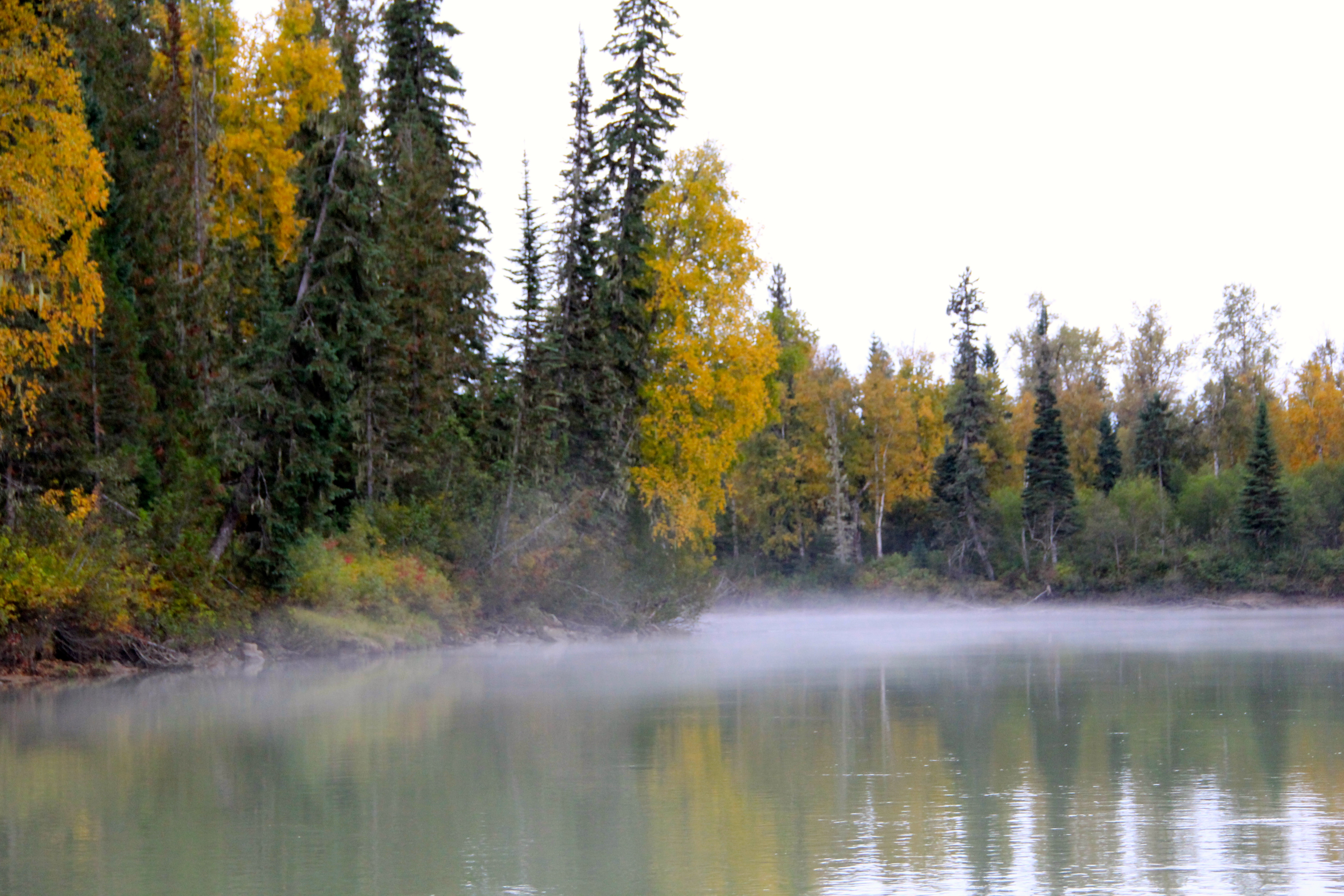
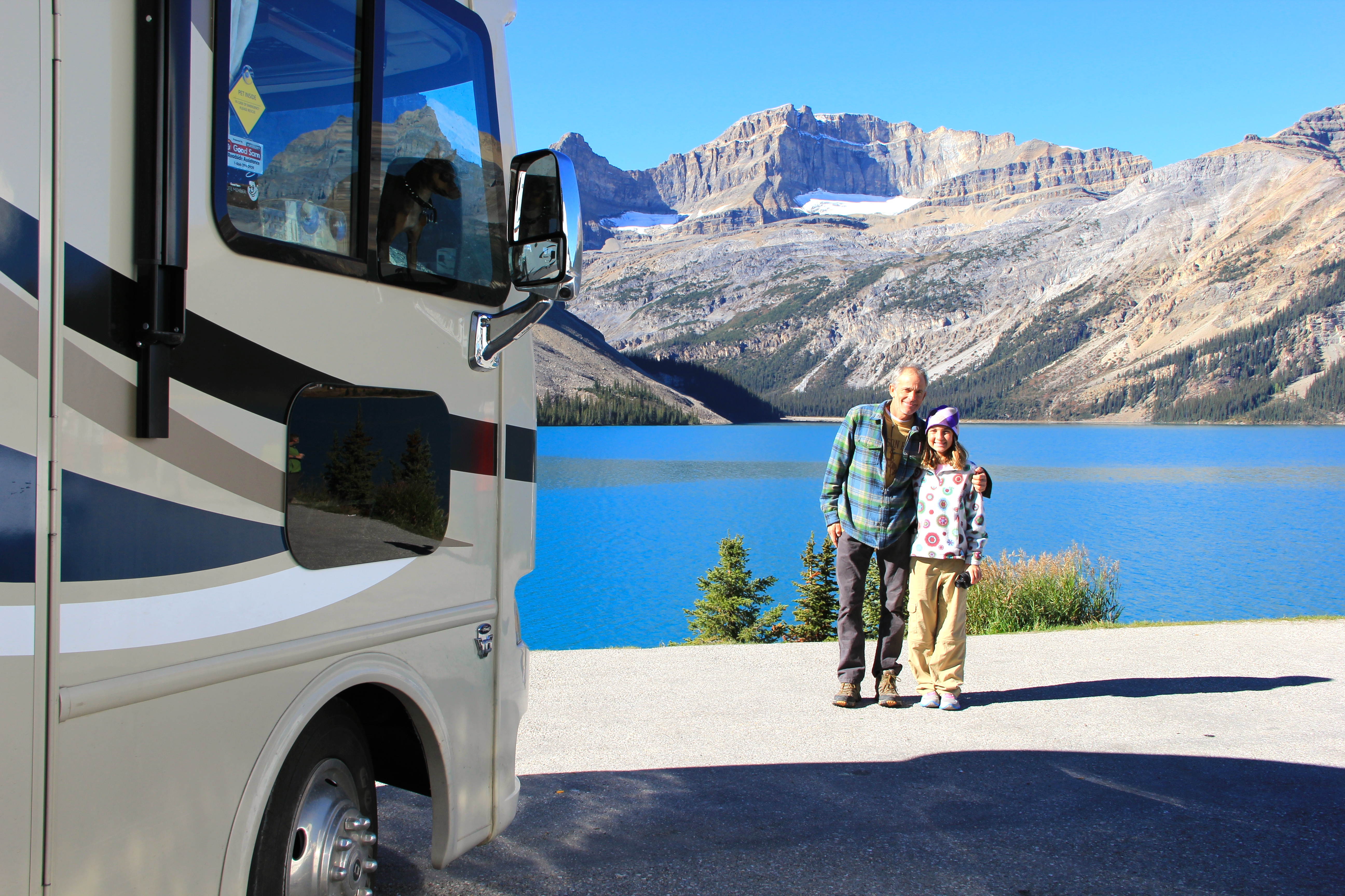
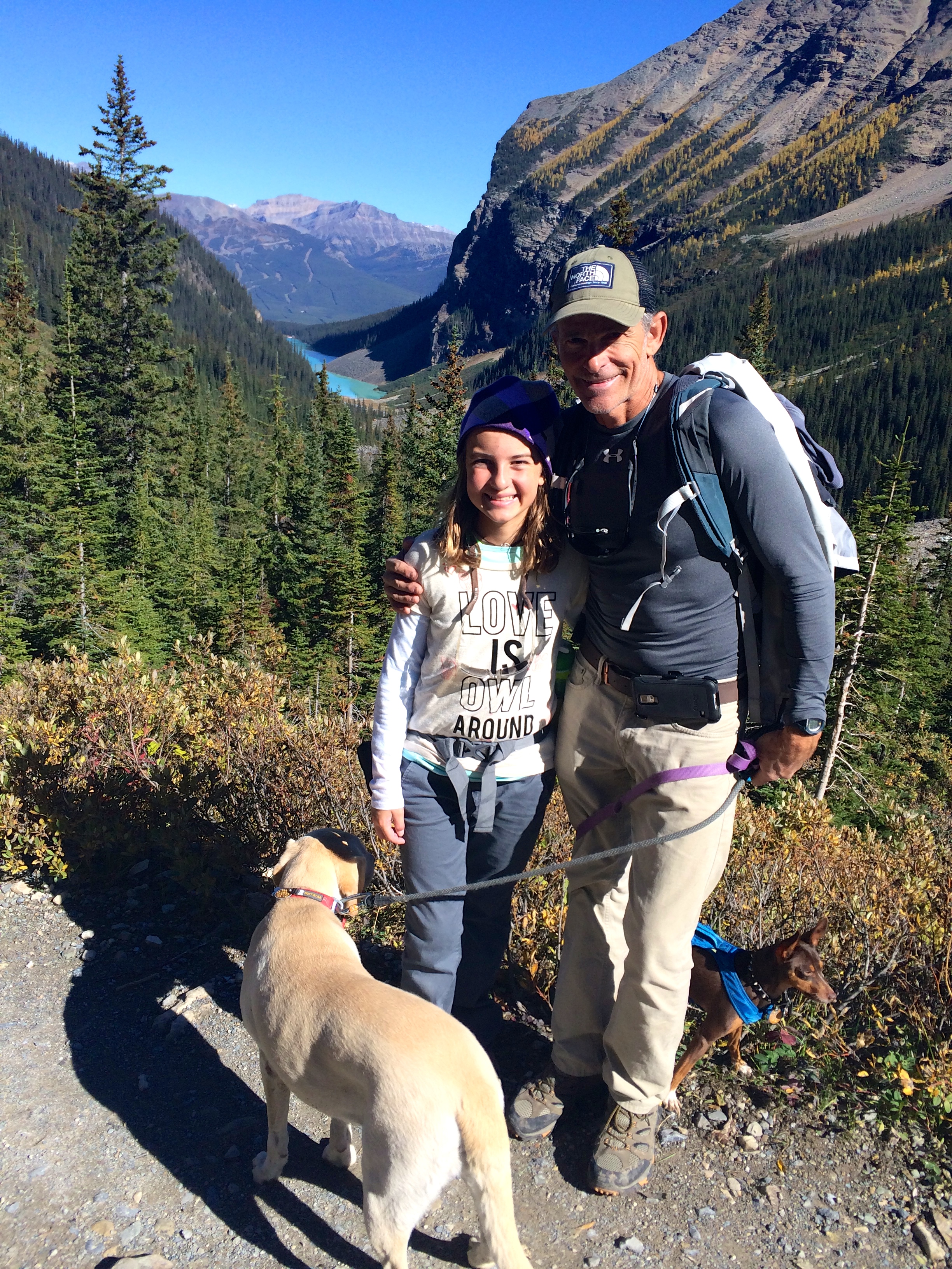
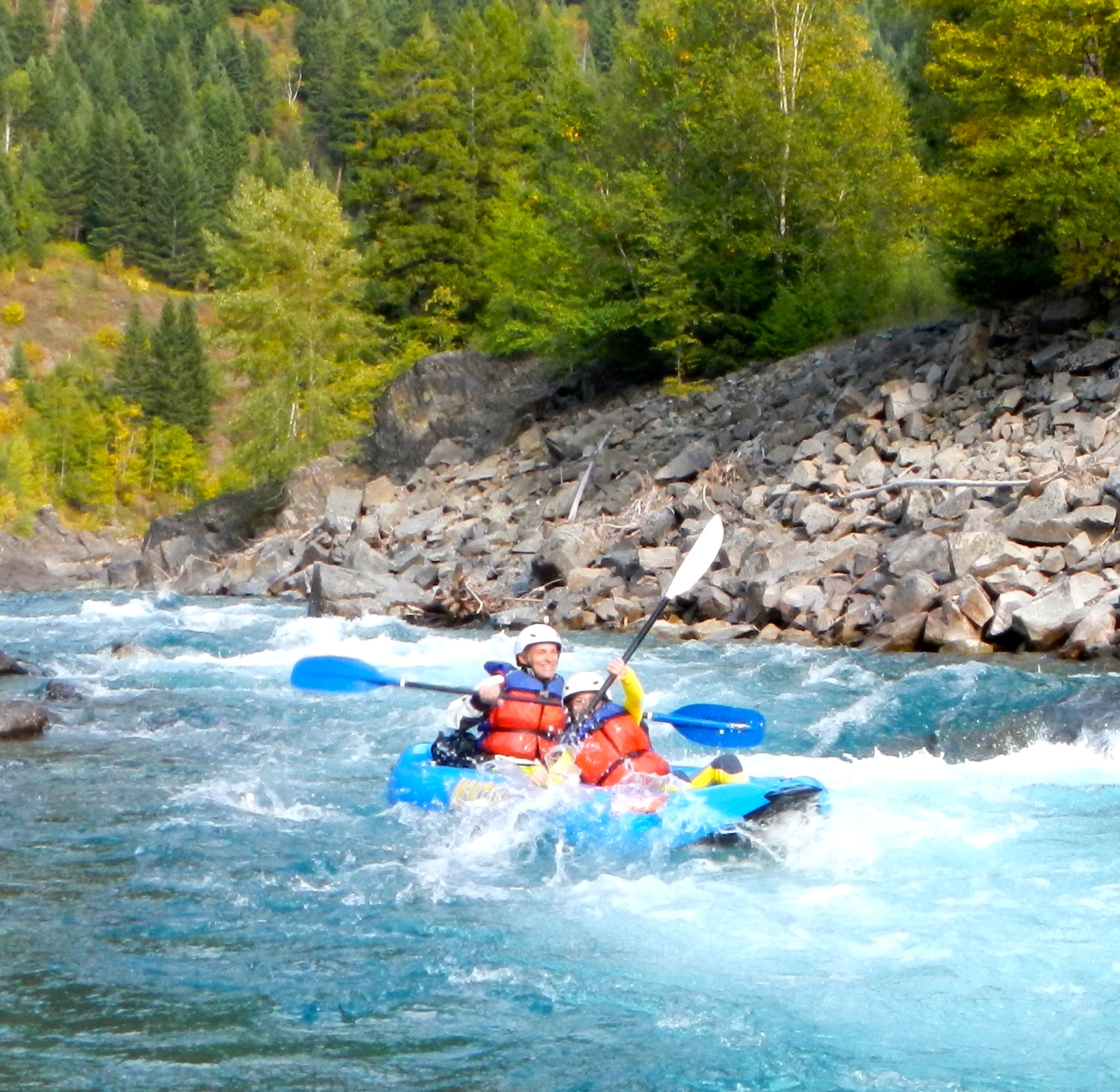
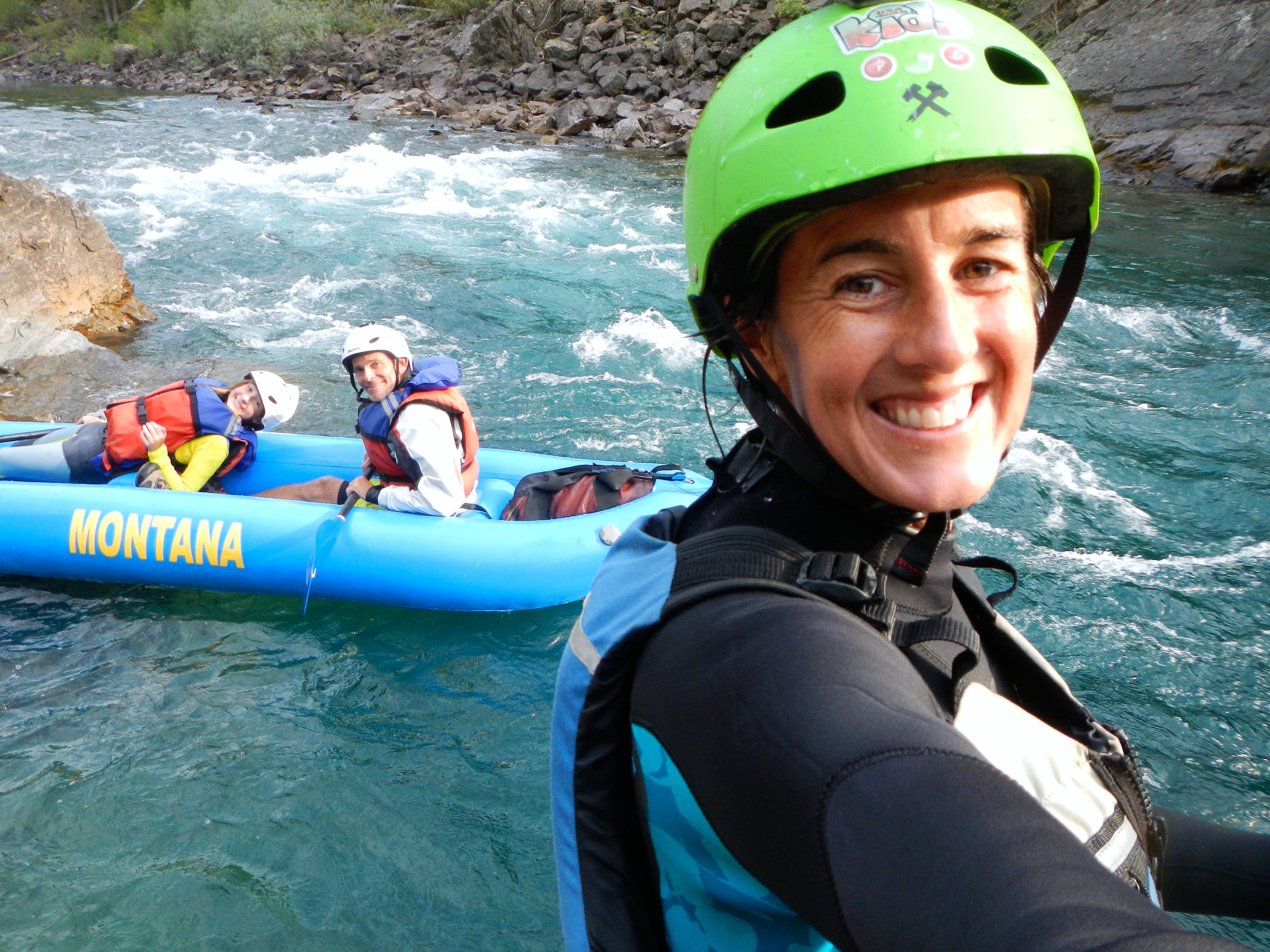
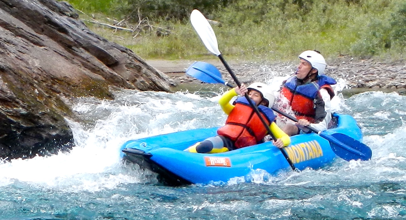
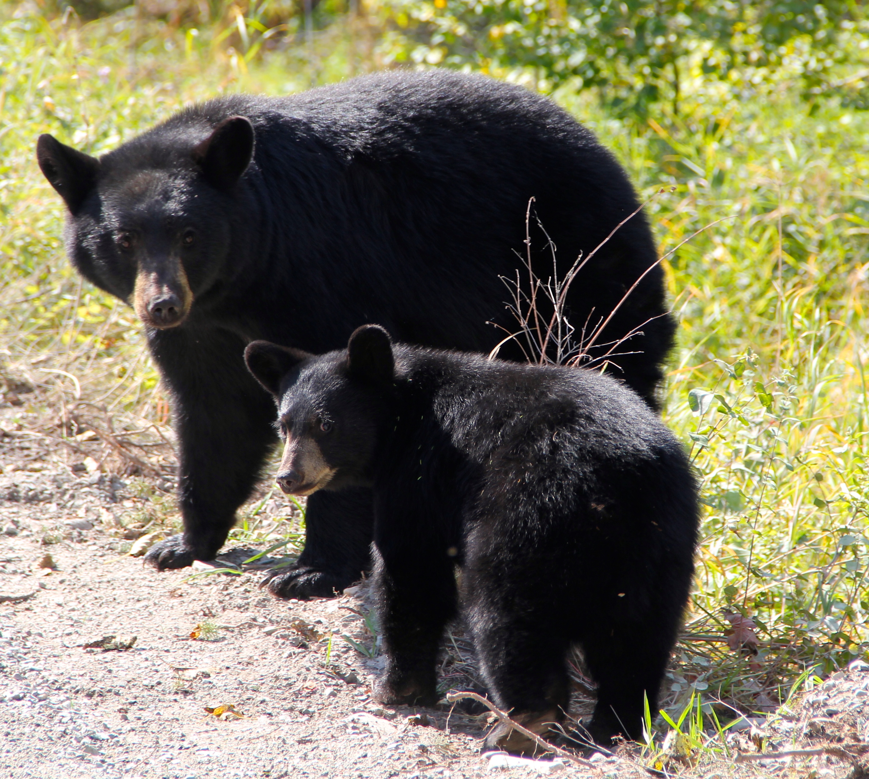
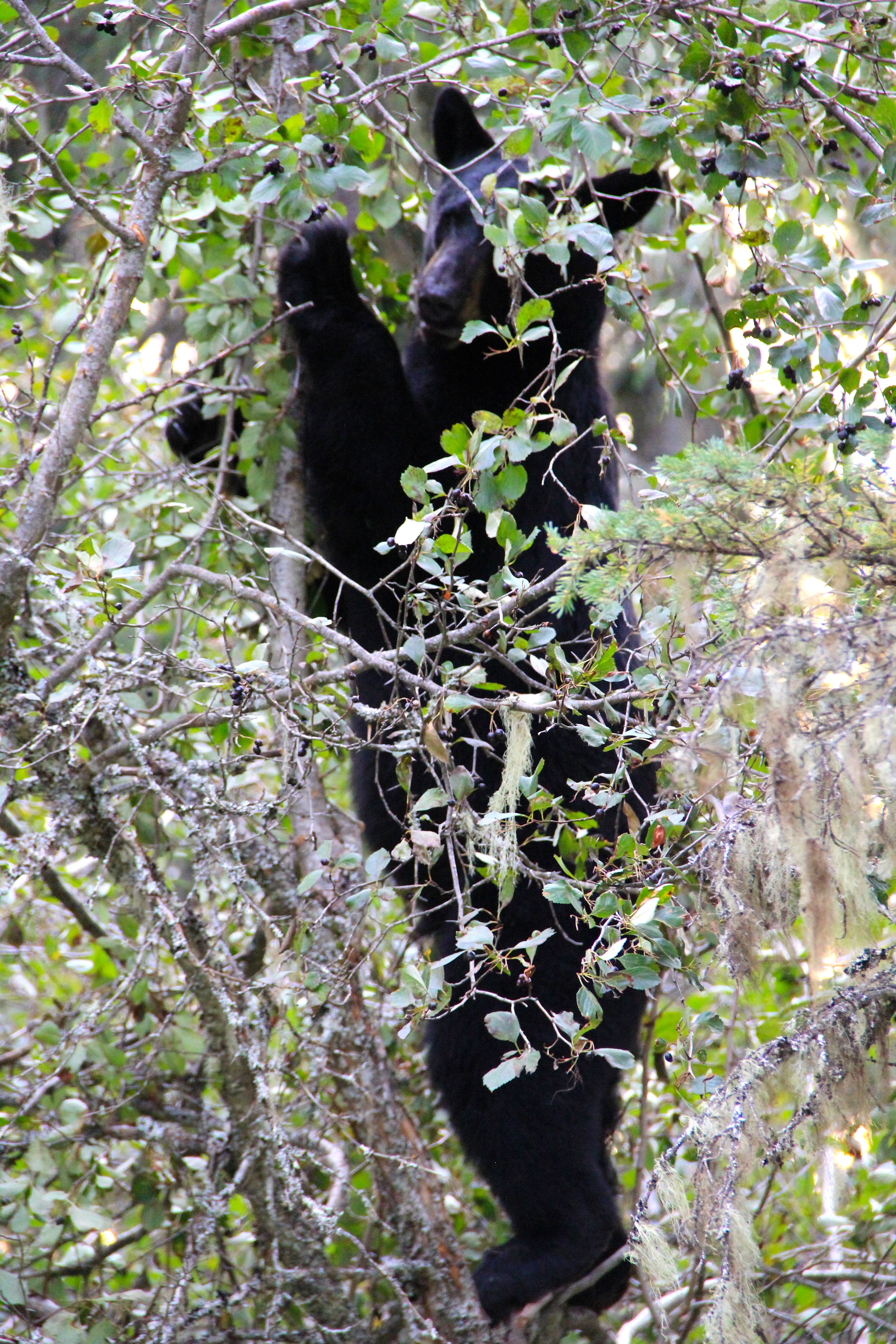
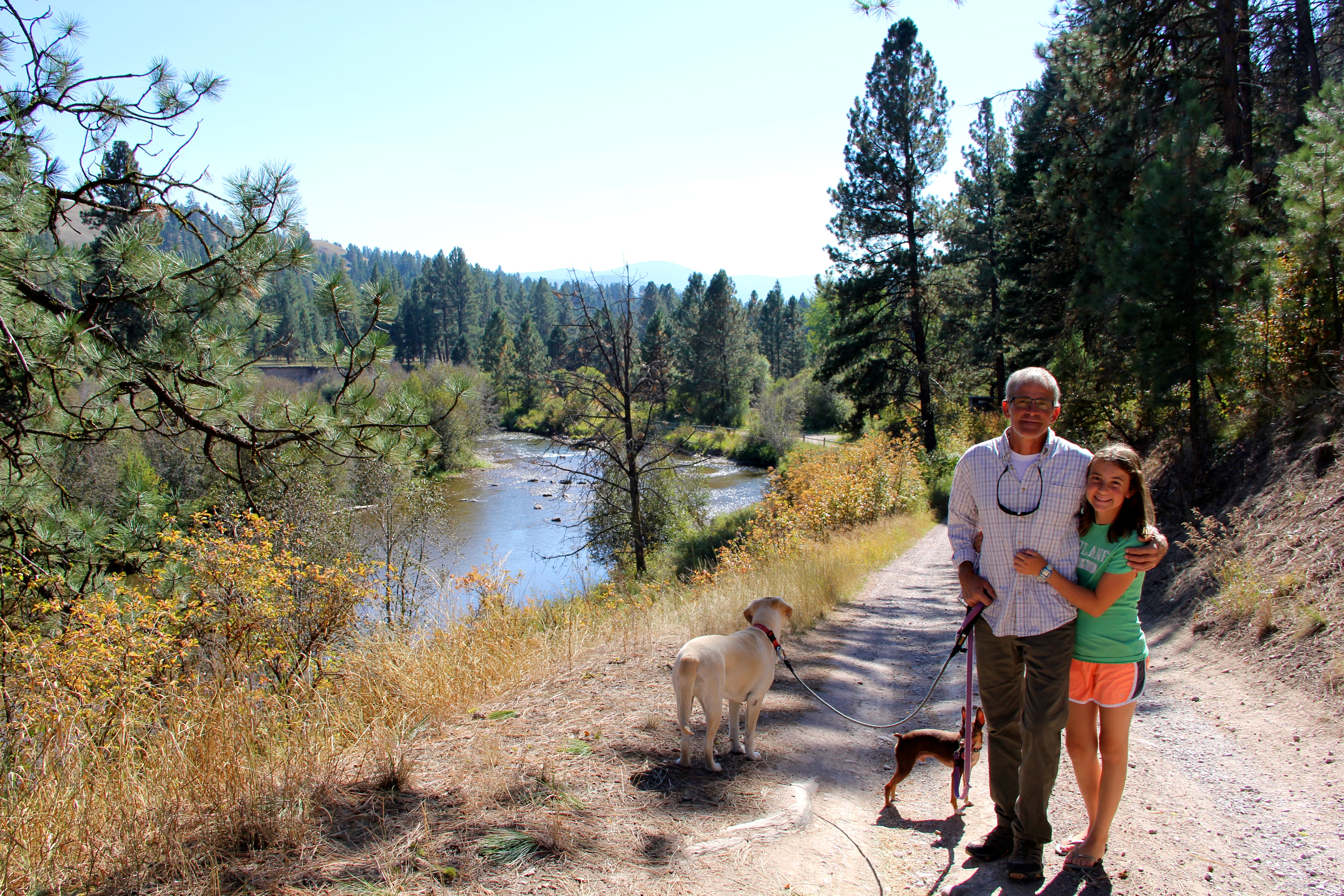
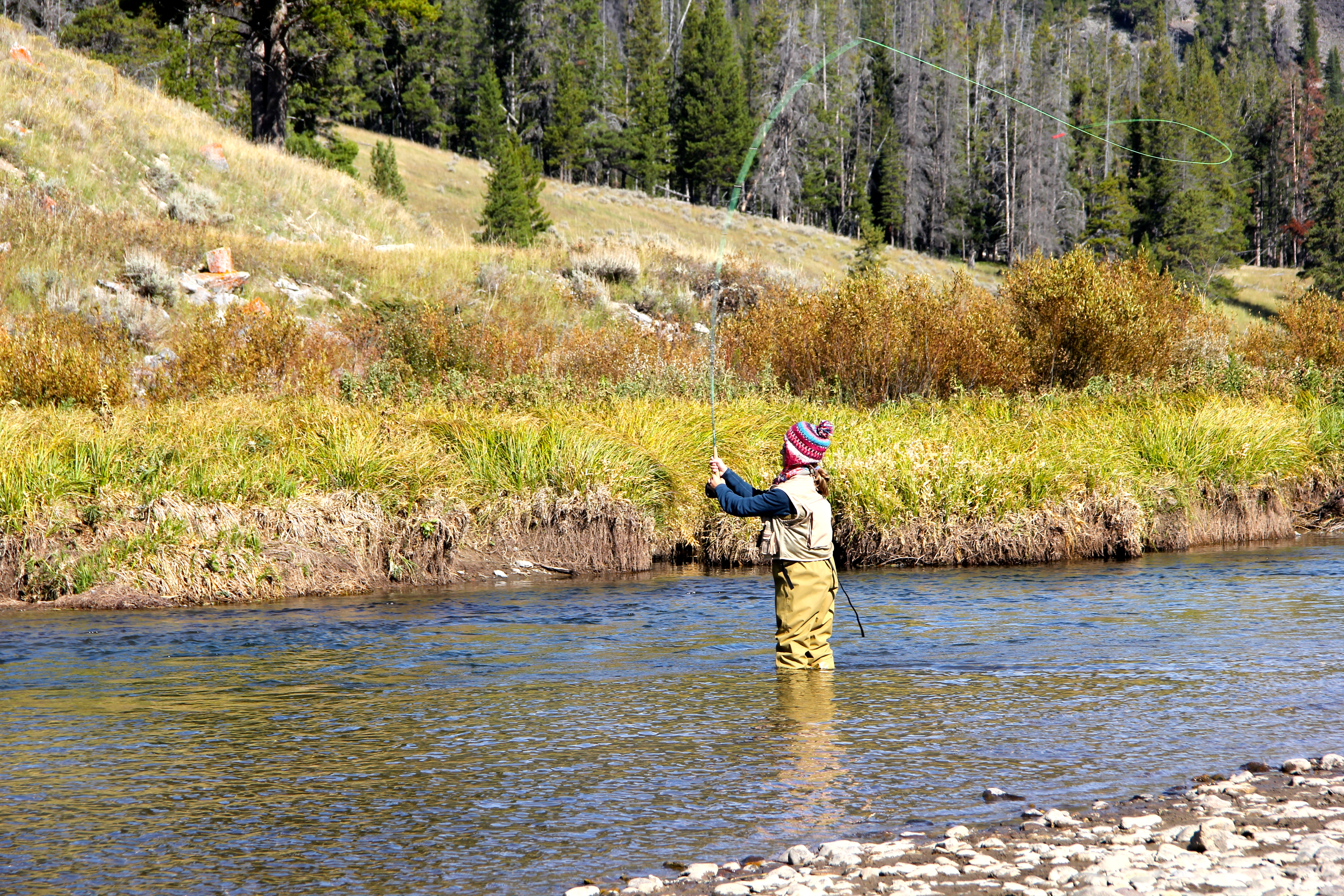
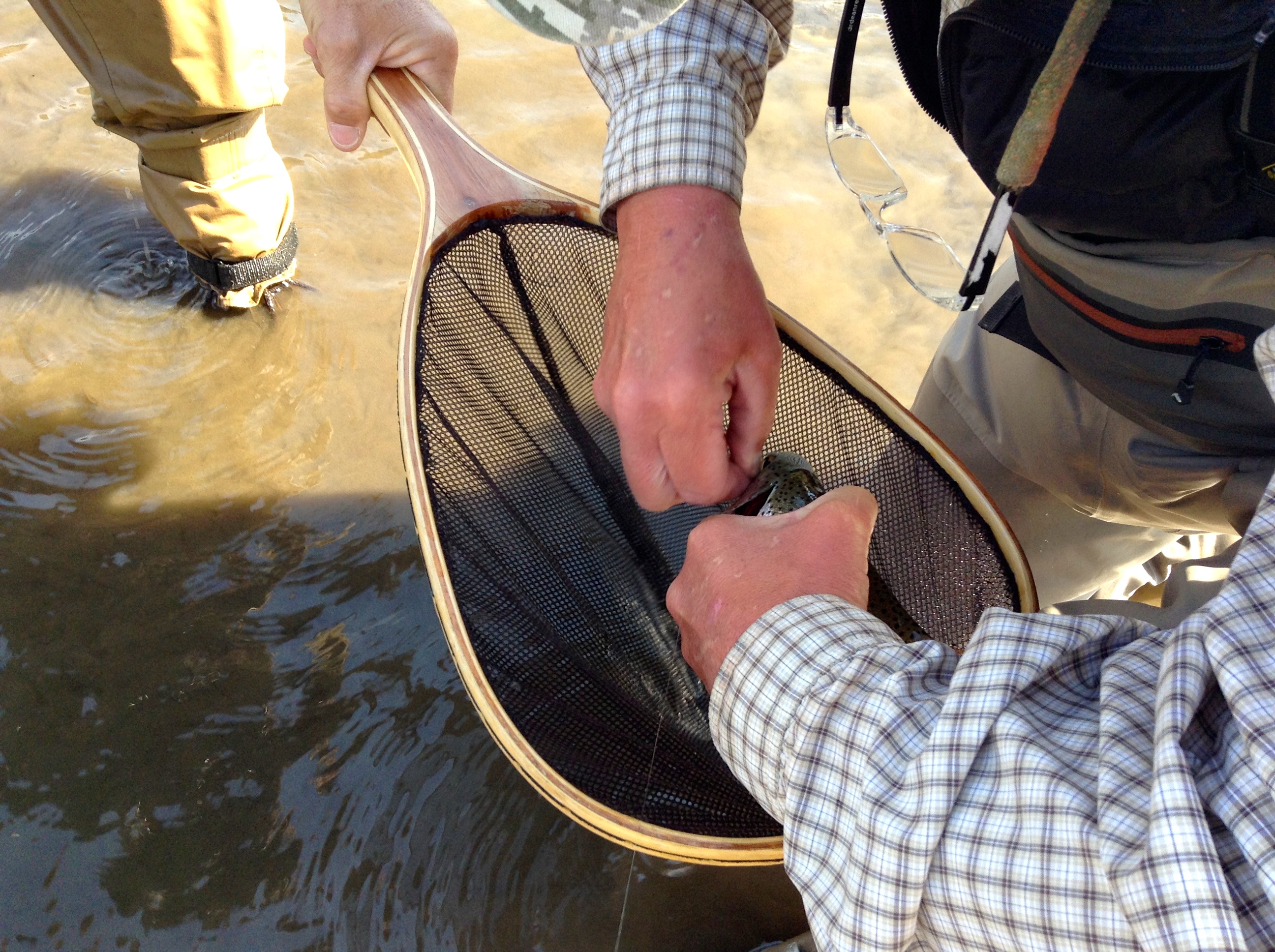
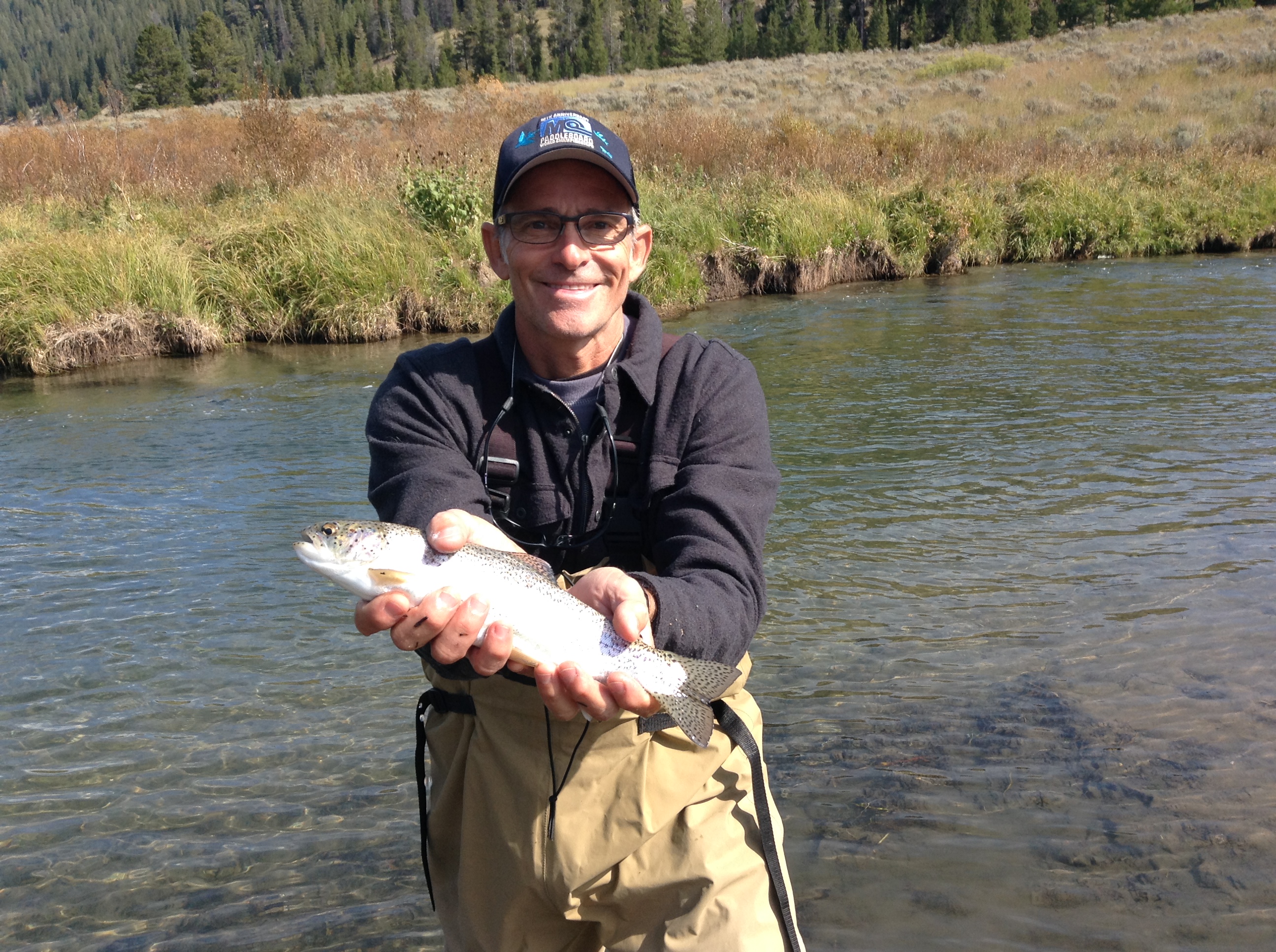
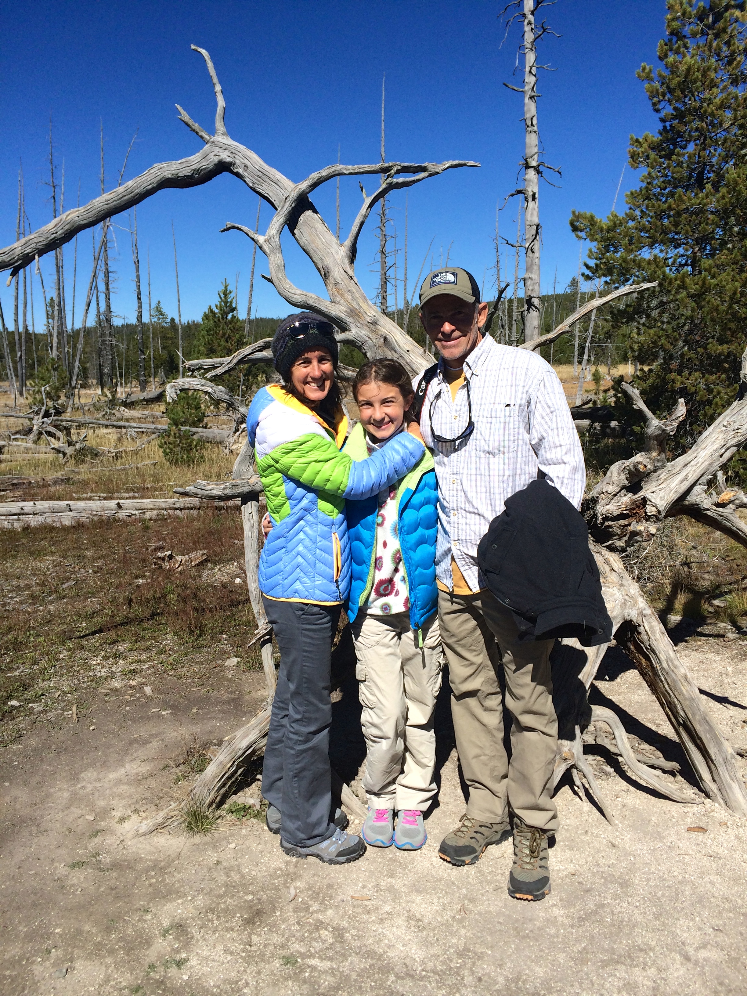
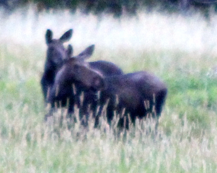
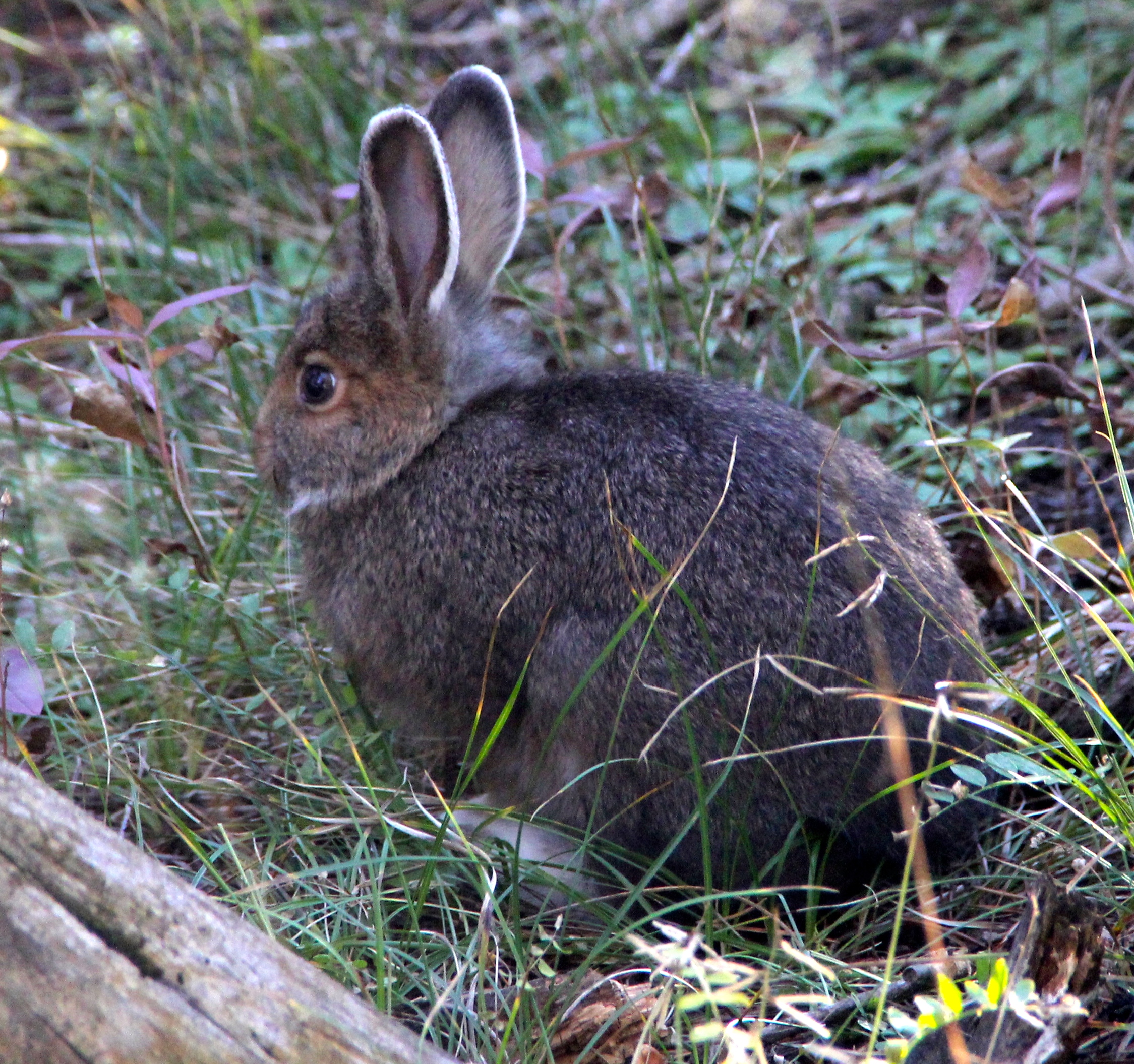
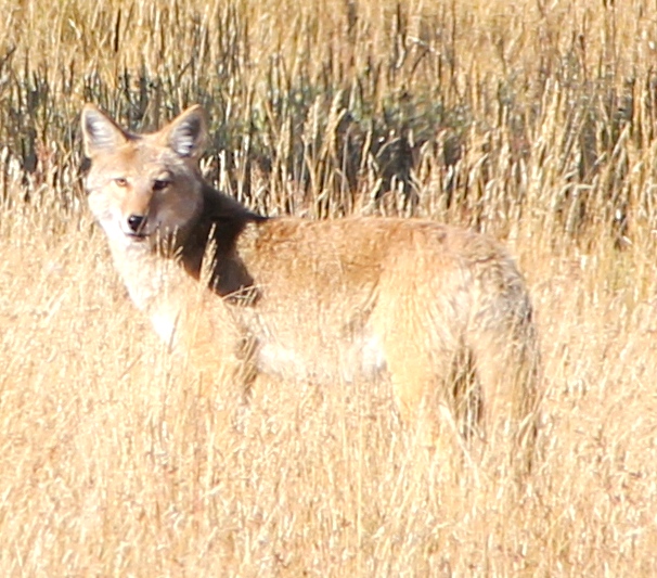
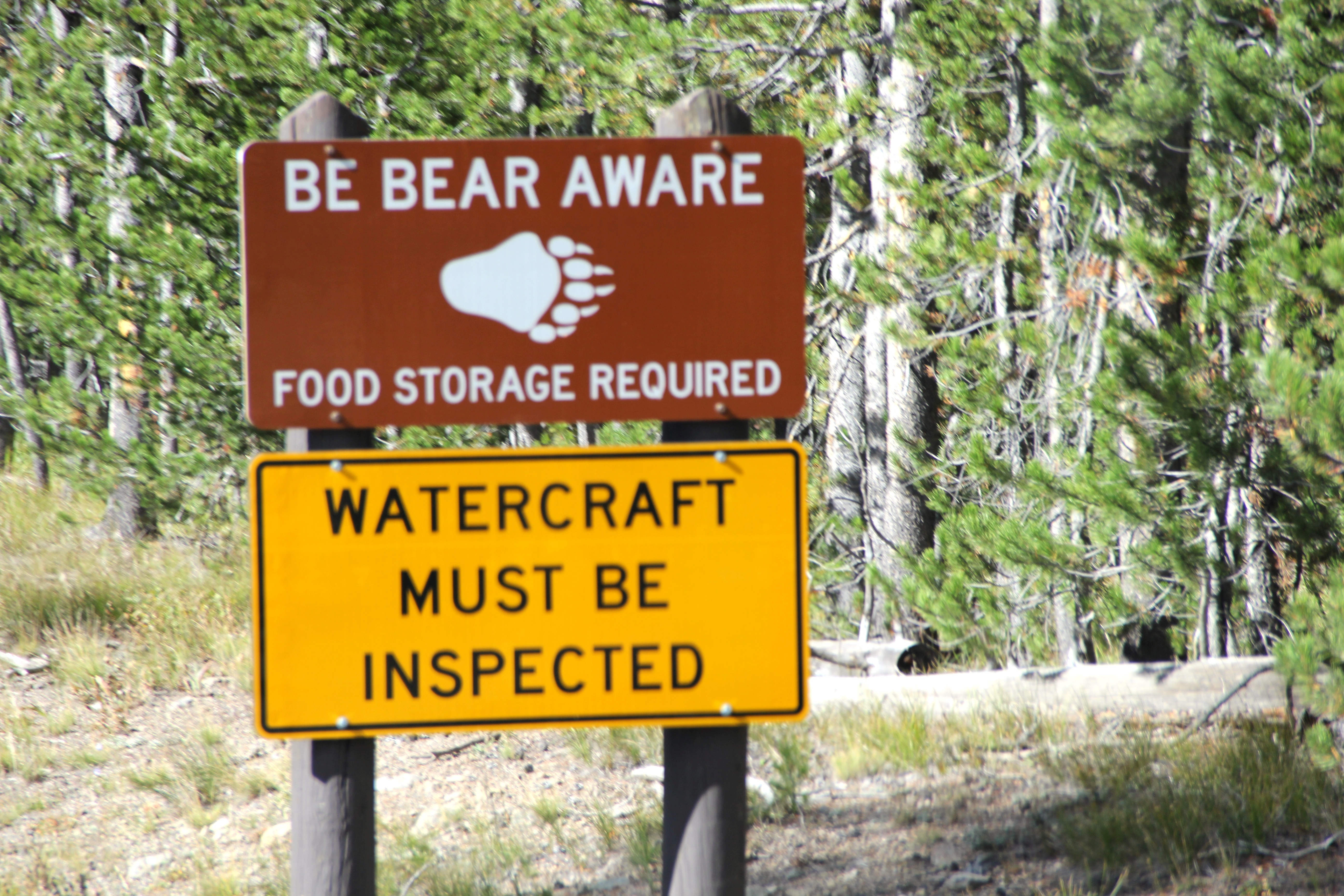
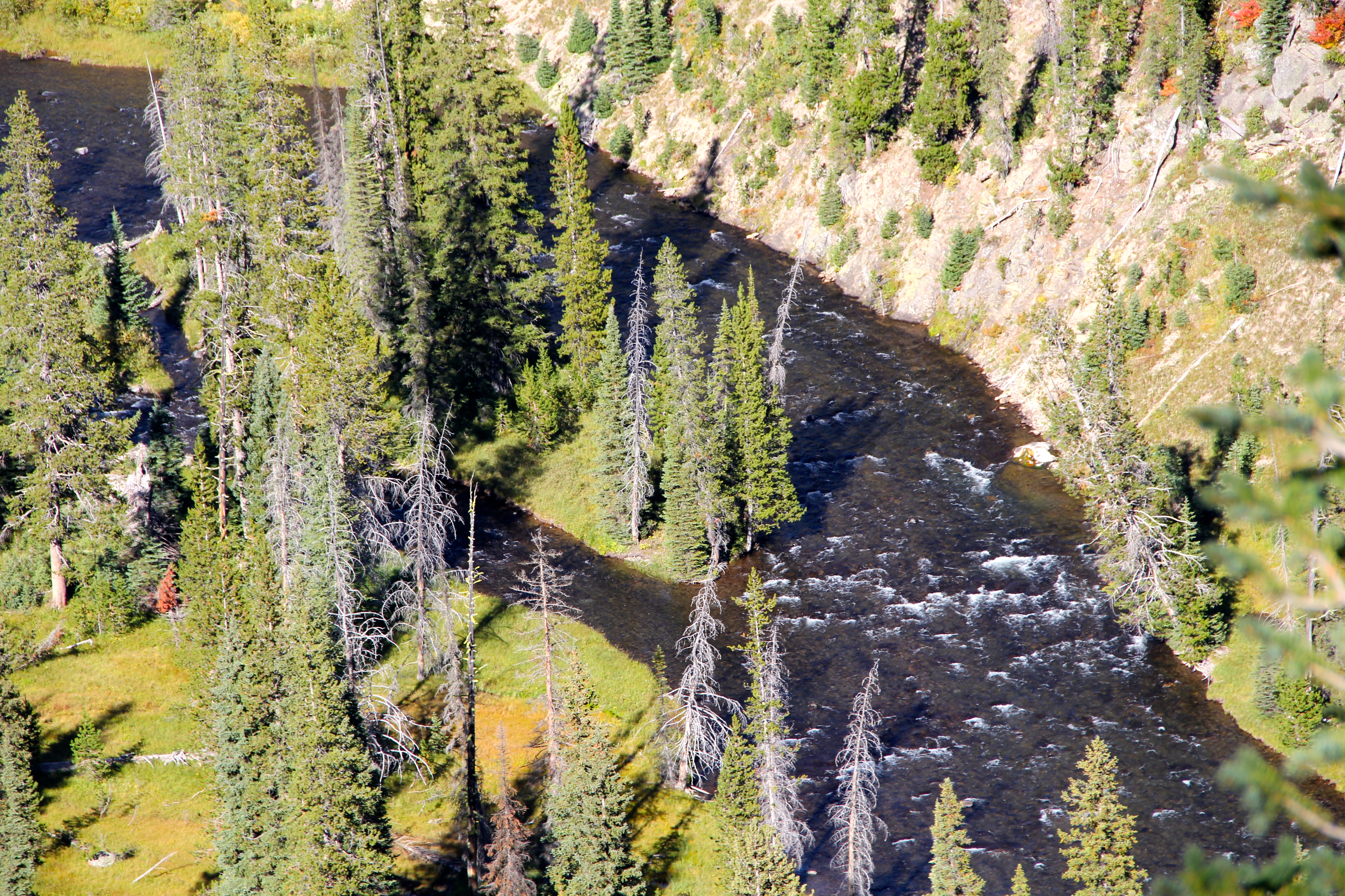
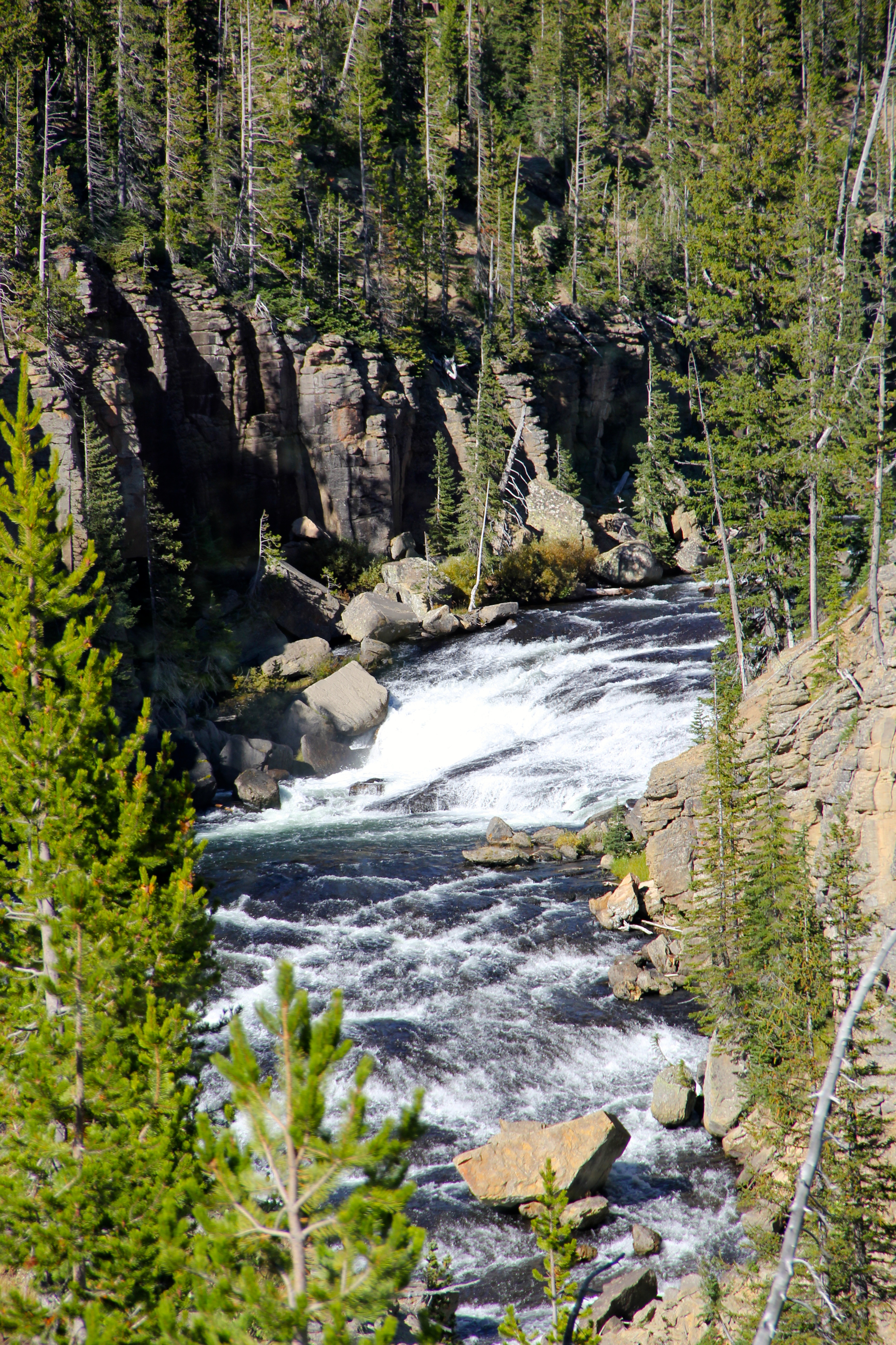
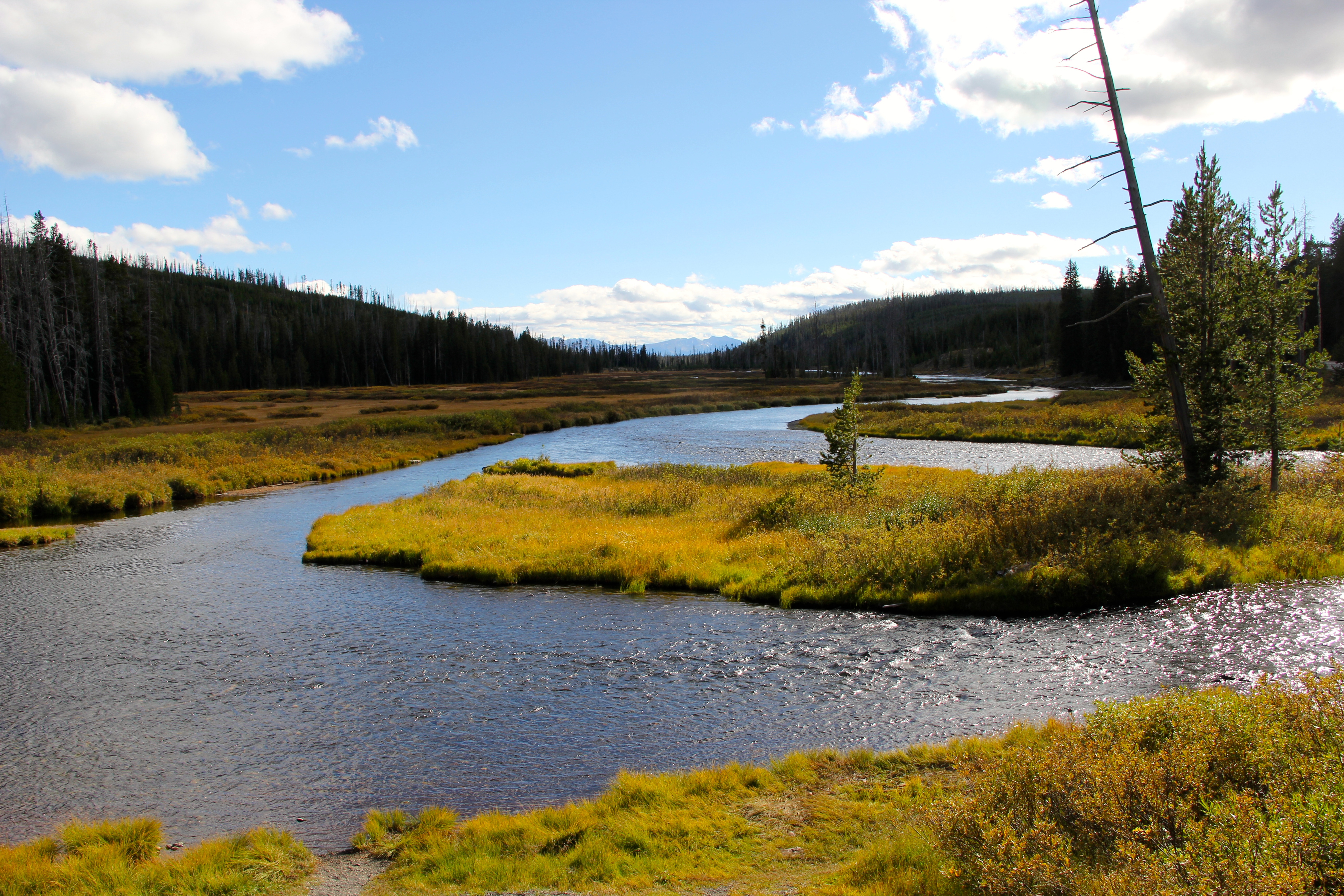
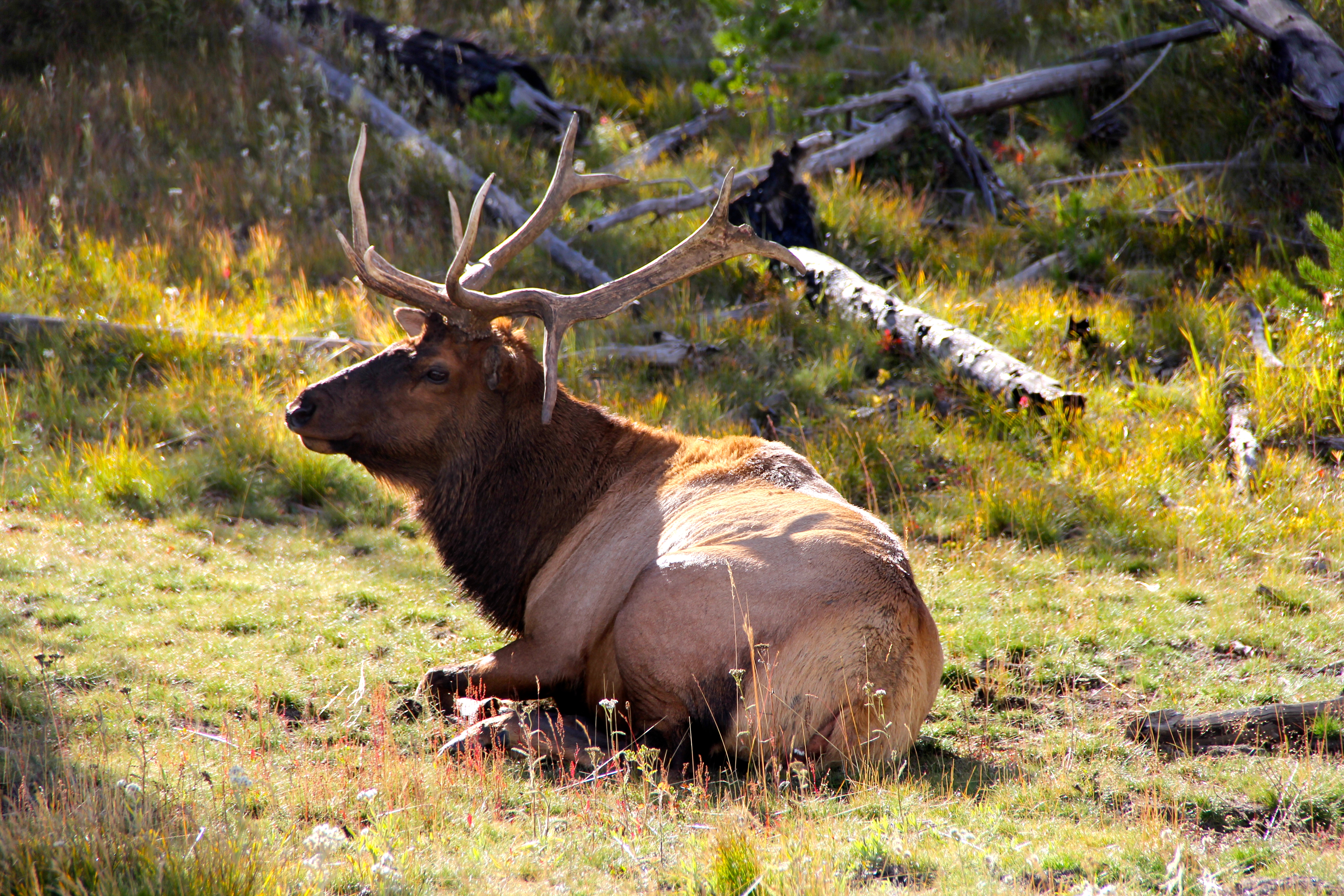
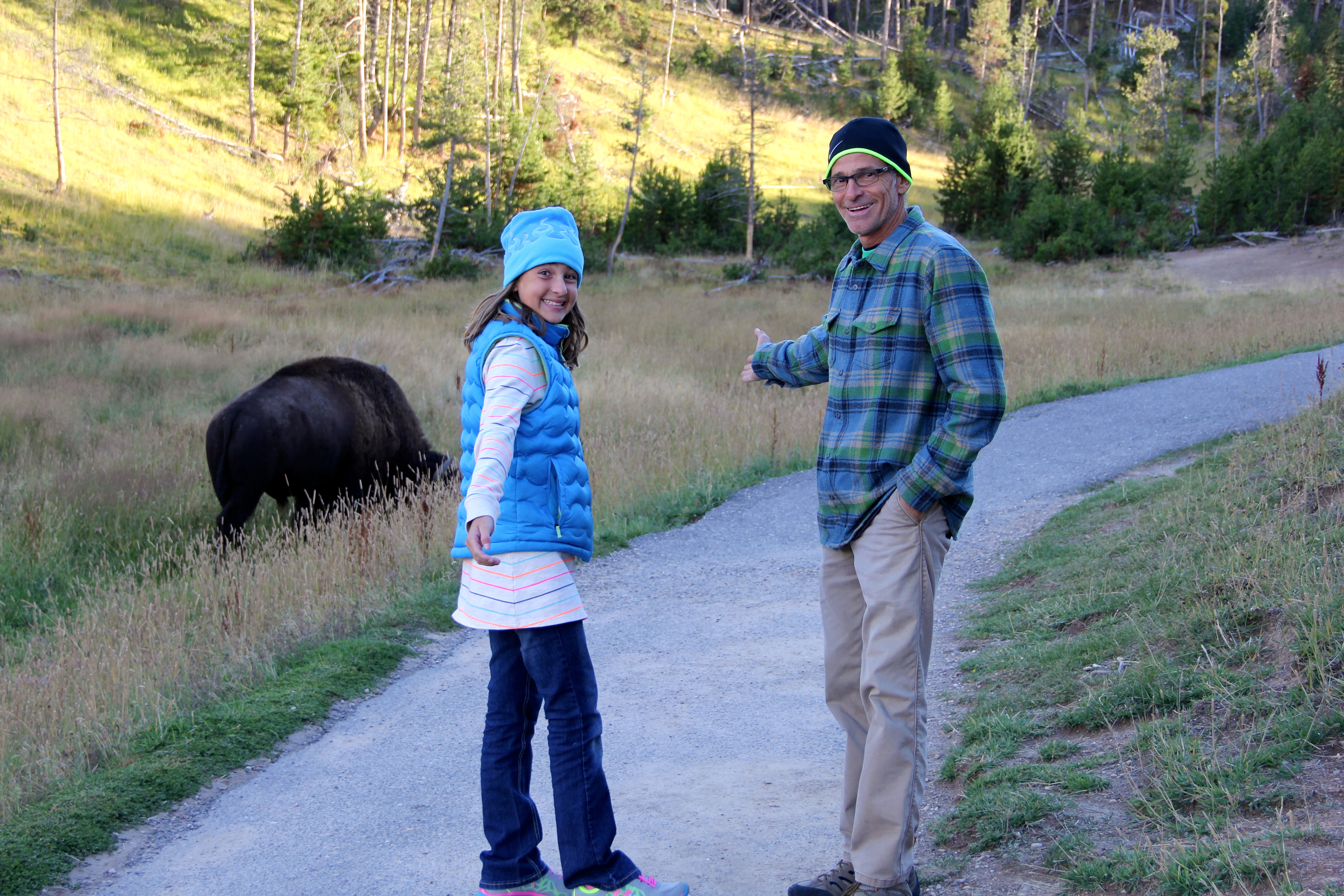
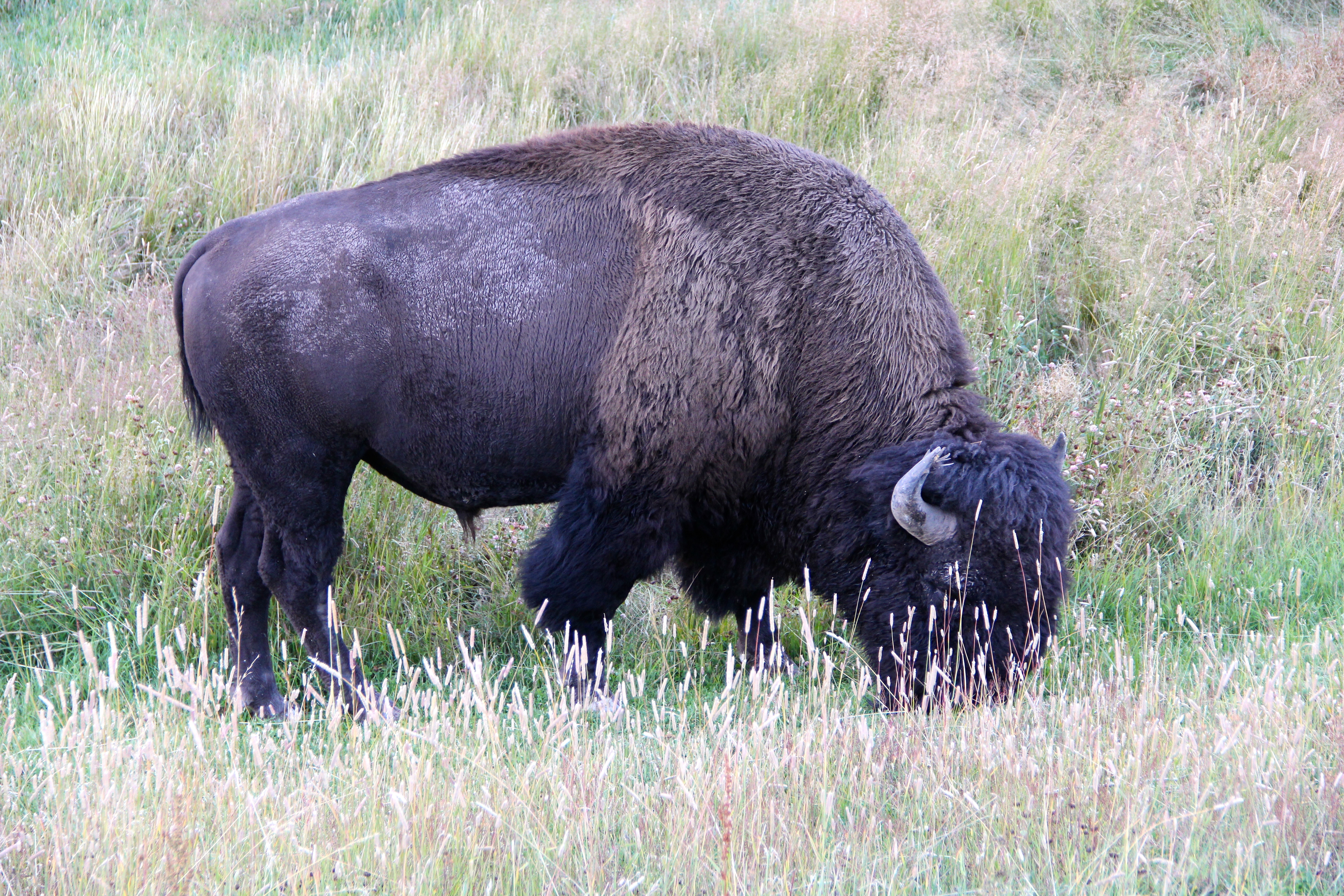
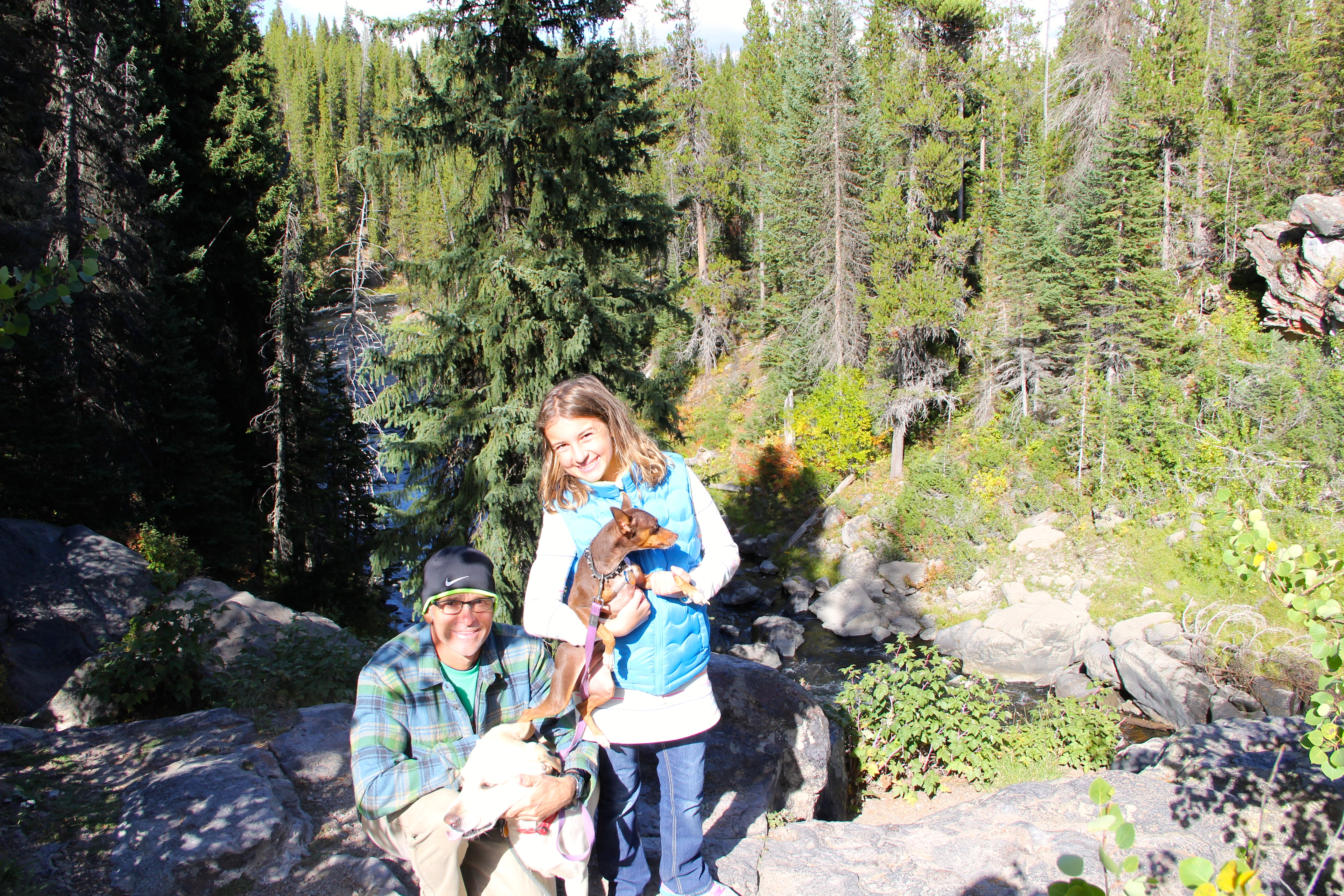
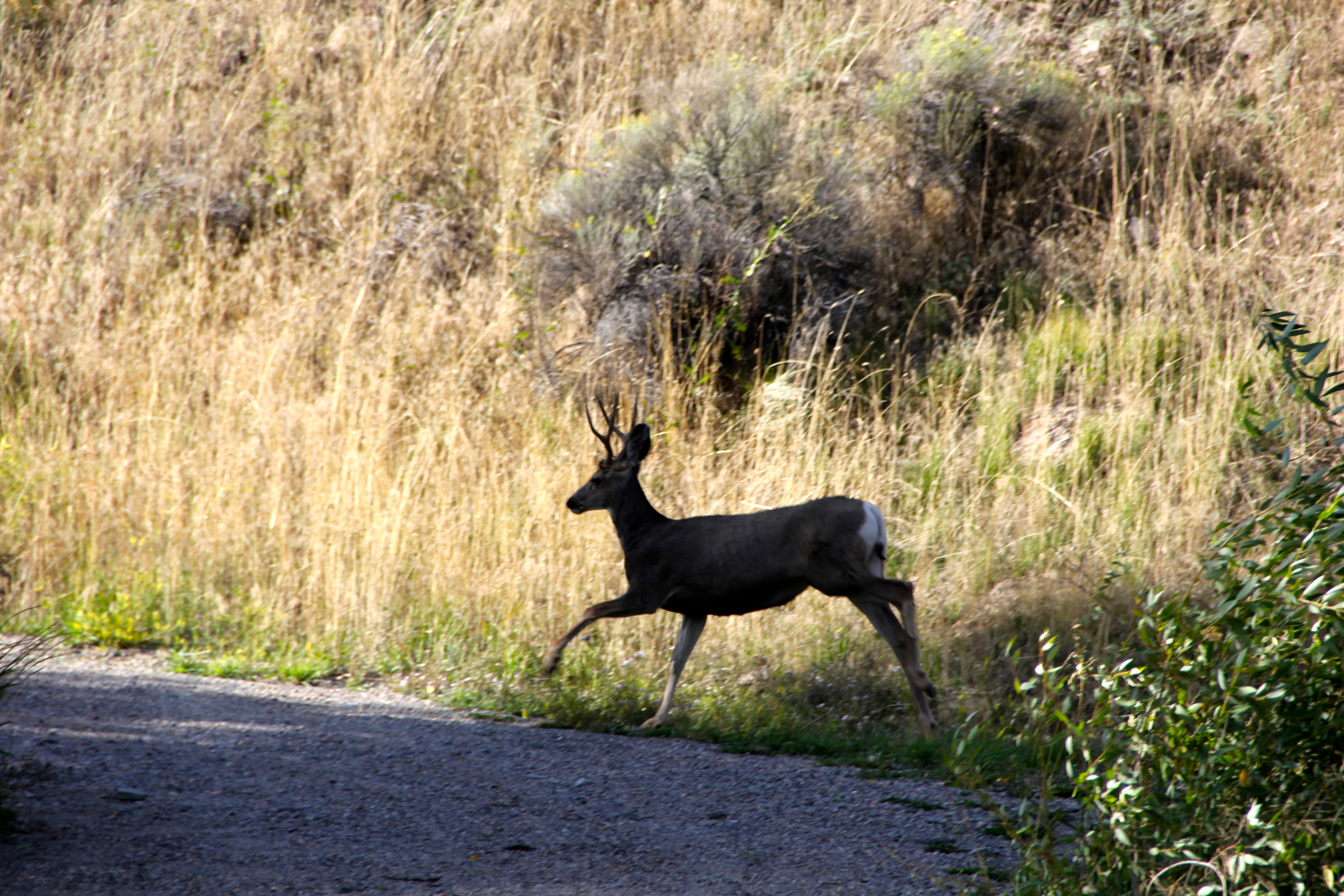
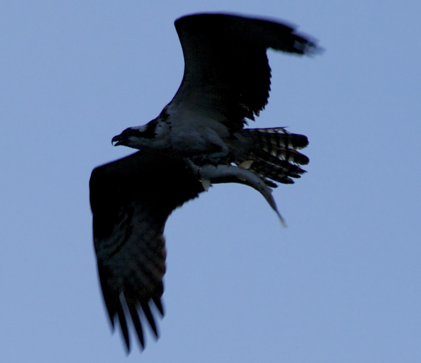
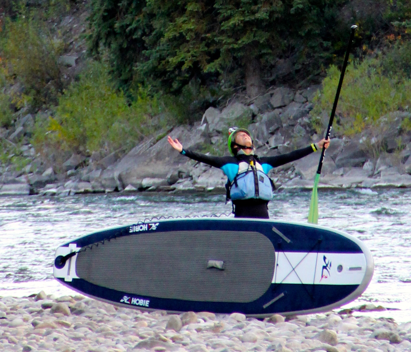
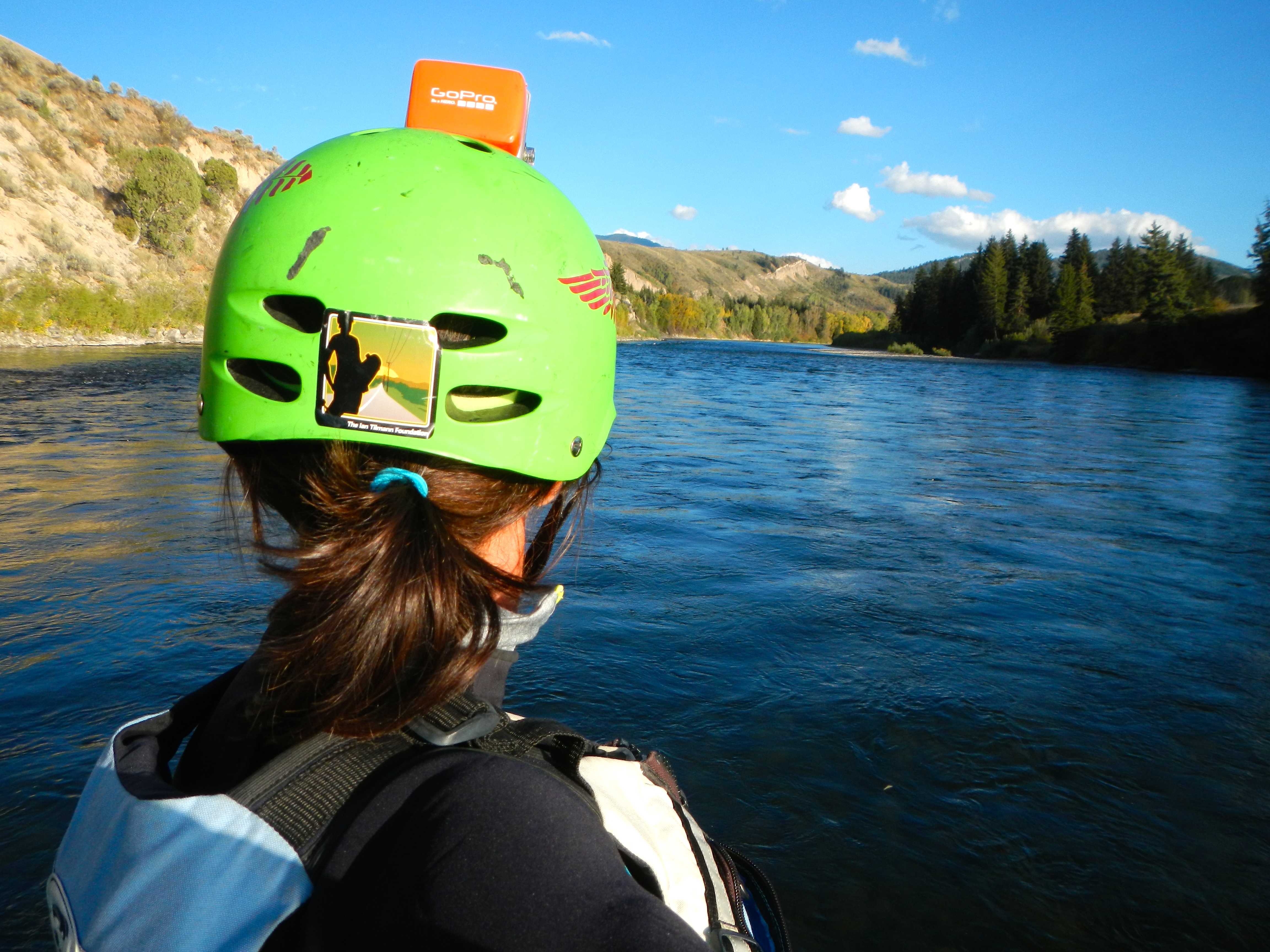
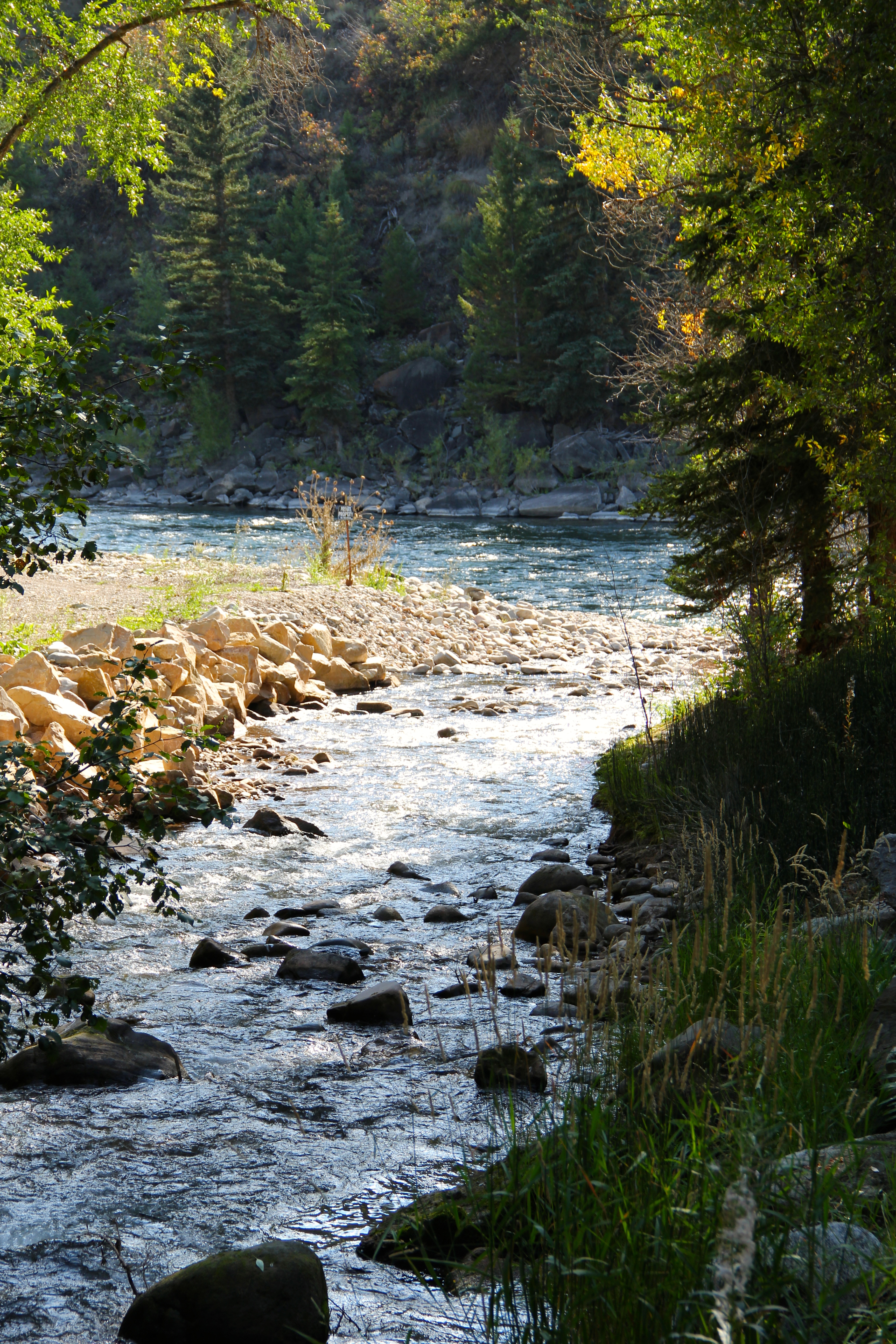
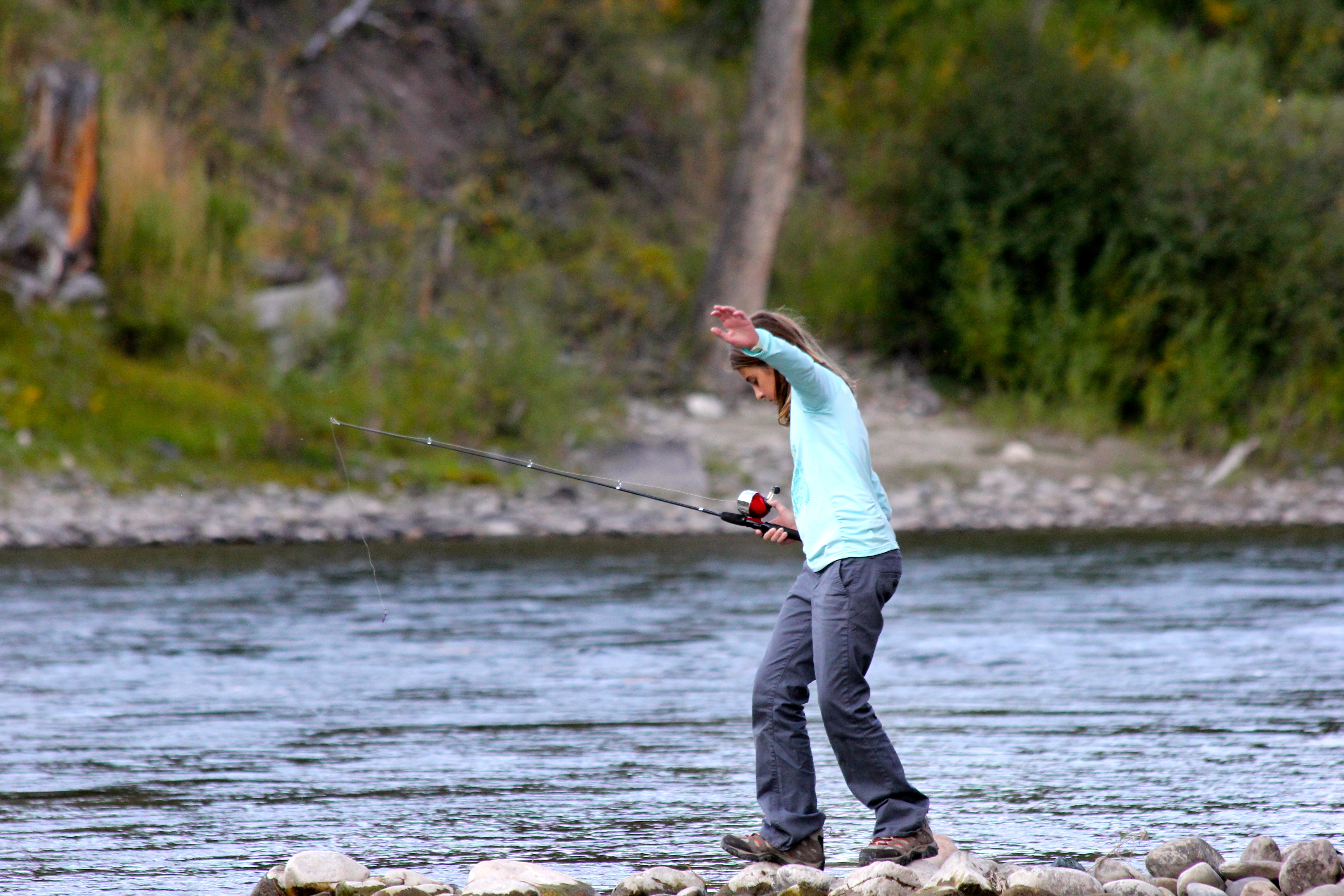
After a few fun and long days of exploring we crashed early to get up early again this AM for some back country, wild trout guided fly fishing! Savannah could barely go to sleep she was so excited and up before both of us! It was a chilly morning when we broke camp and headed to town to get Savannah and her Dad fitted in waders and gear, while I did a quick provision for the RV at the local grocery store. The guide was really great and also picked a location that was on our route of travels so we would not have to back track.   It was such a kick to pull off the side of the road, and hike down to a stream yelling.. “here bear, here bear” over and over, as according to the guide there is a tagged, big cinnamon black bear that frequents the area, along with a couple of local Grizzlies. We did not see them, but we did see a beautiful Bald Eagle fly over!   Savannah and her Dad fished in the very cold, mountain fed Gallatin River for over 2 hours. Jim was the only one that landed a small rainbow trout, but Savannah had some killer casts and tons of bites. These were very clever wild trout. Just being out in the element was something else, let alone getting to wade around in the gorgeous river, surrounded by mountains and the prospect of a bear, elk, coyote or bison visit!

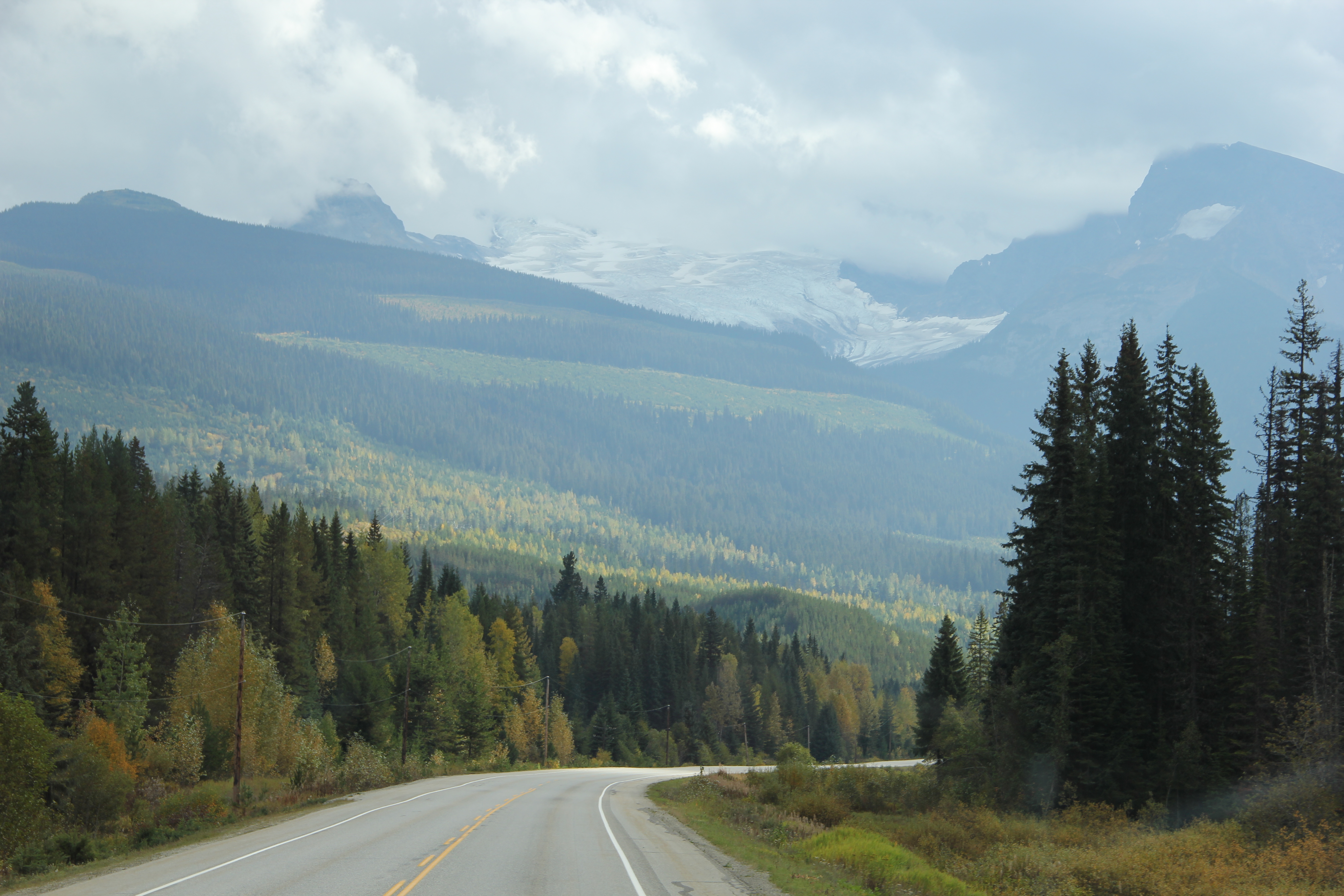
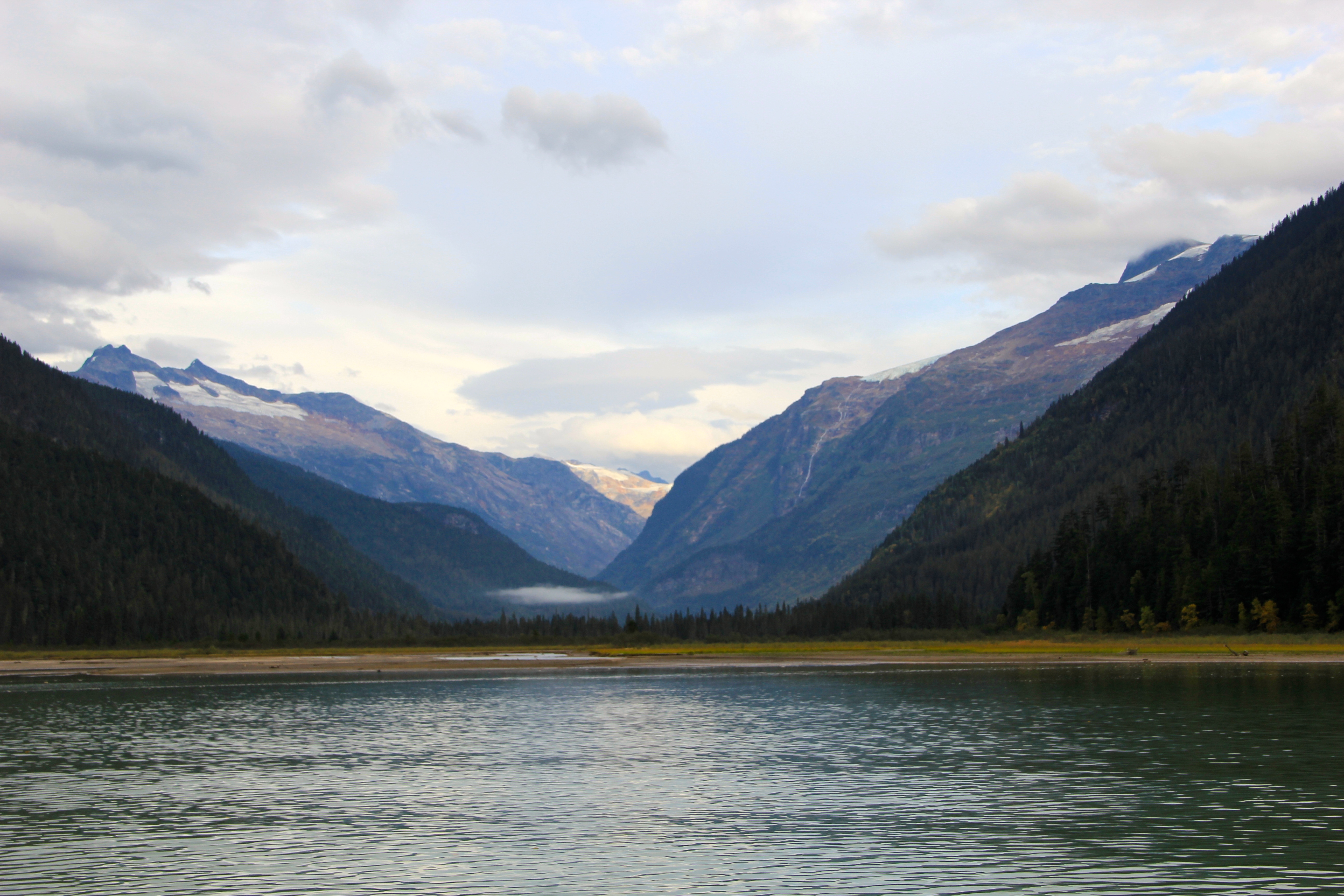
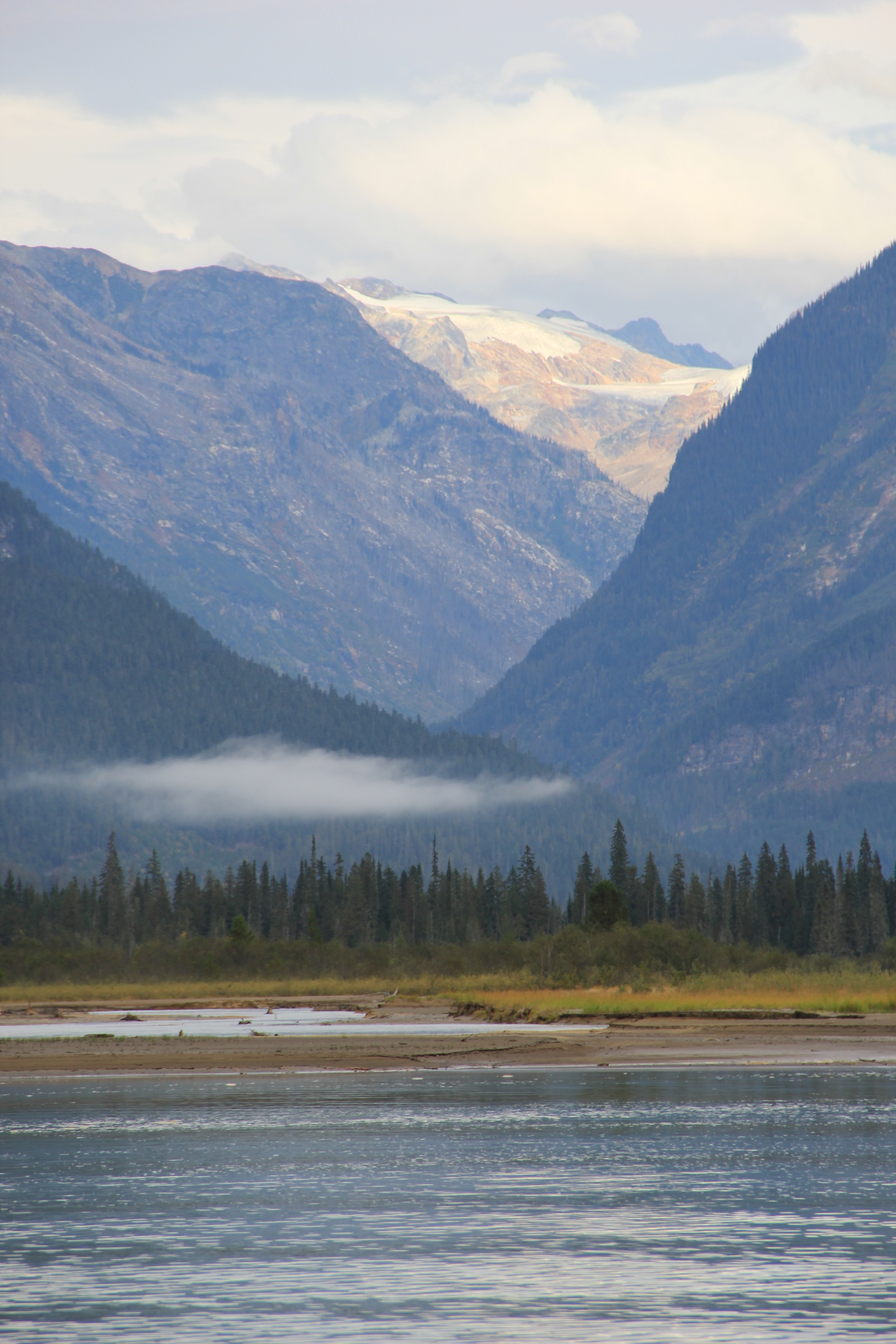
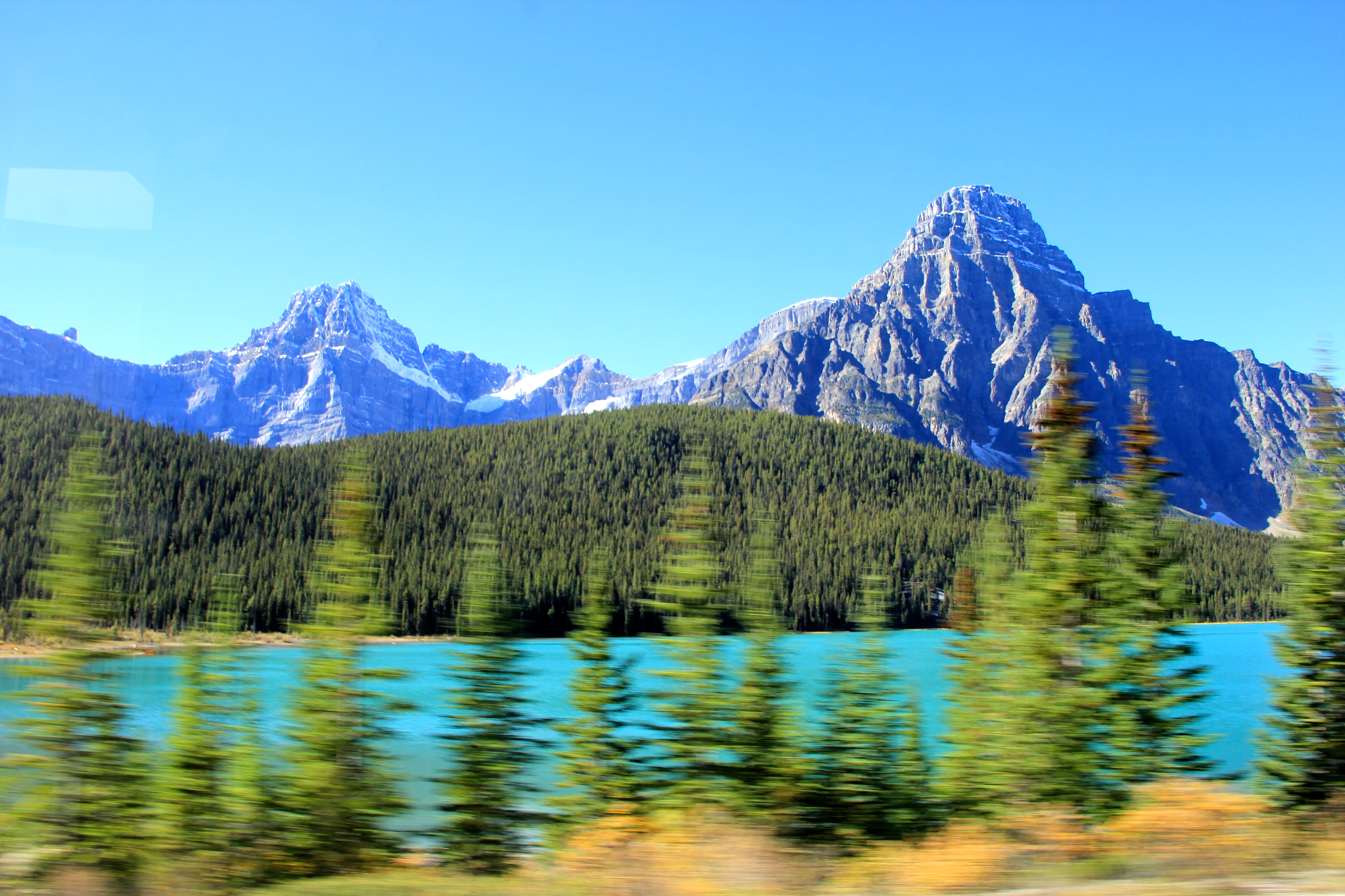
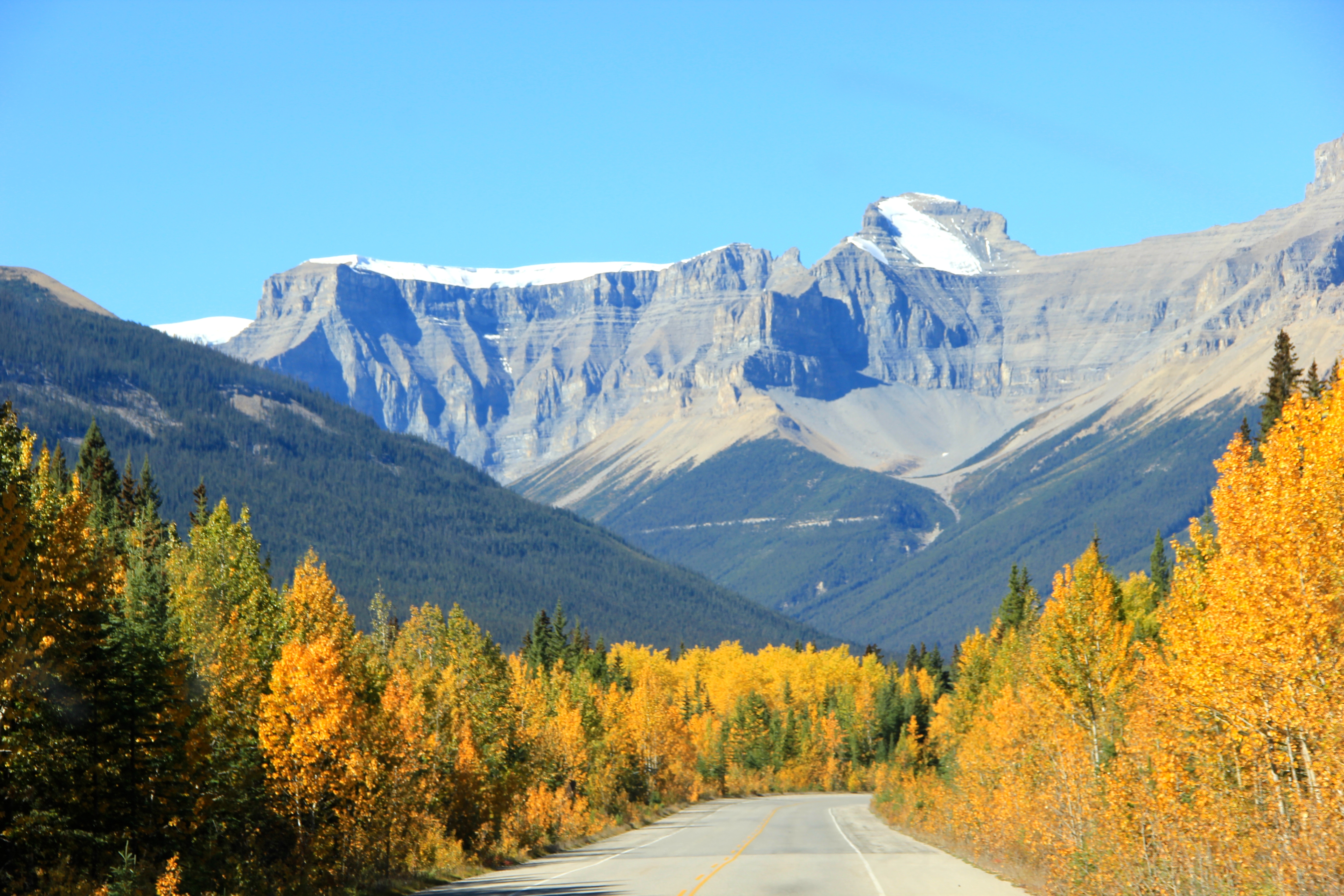
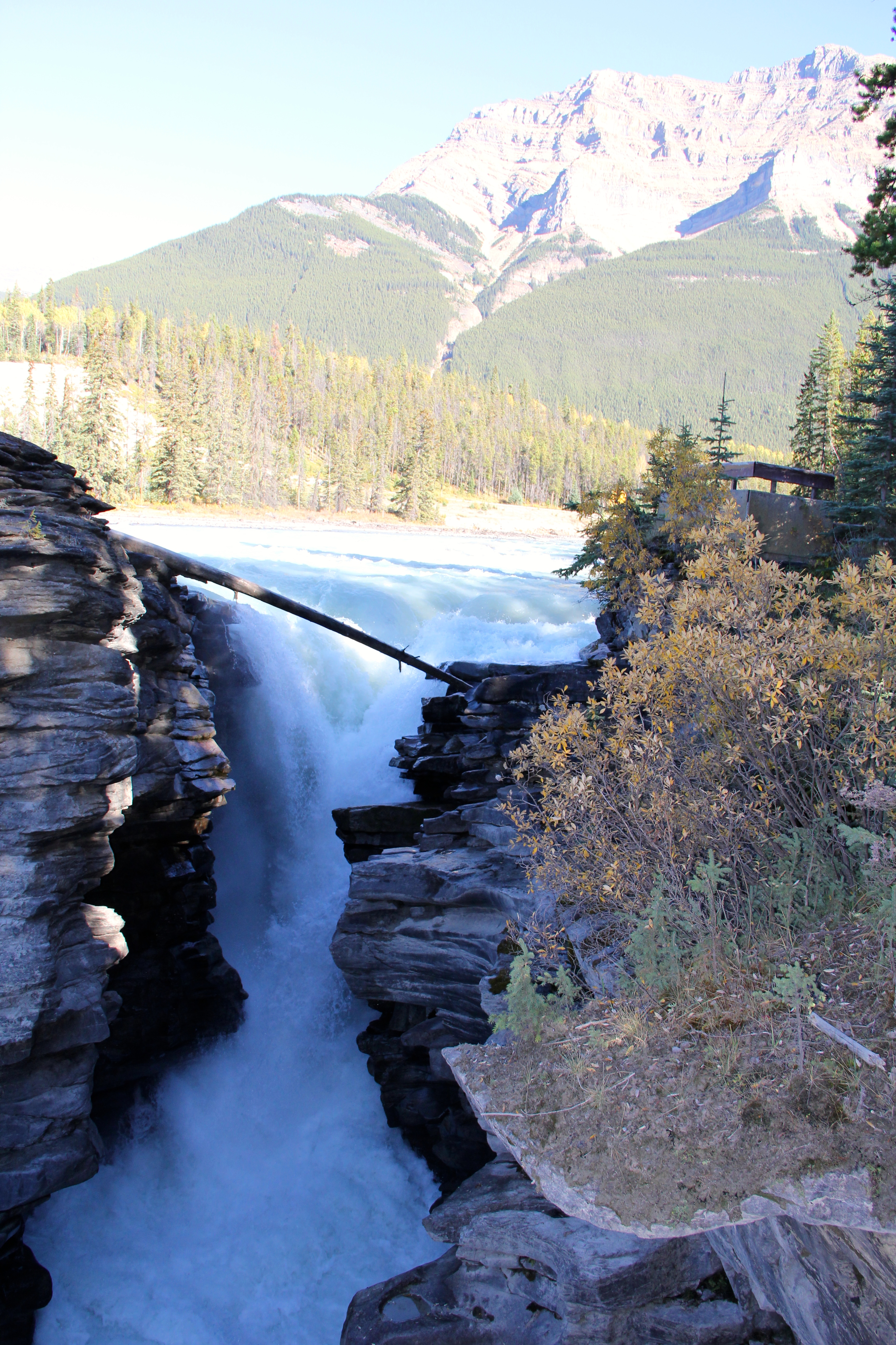
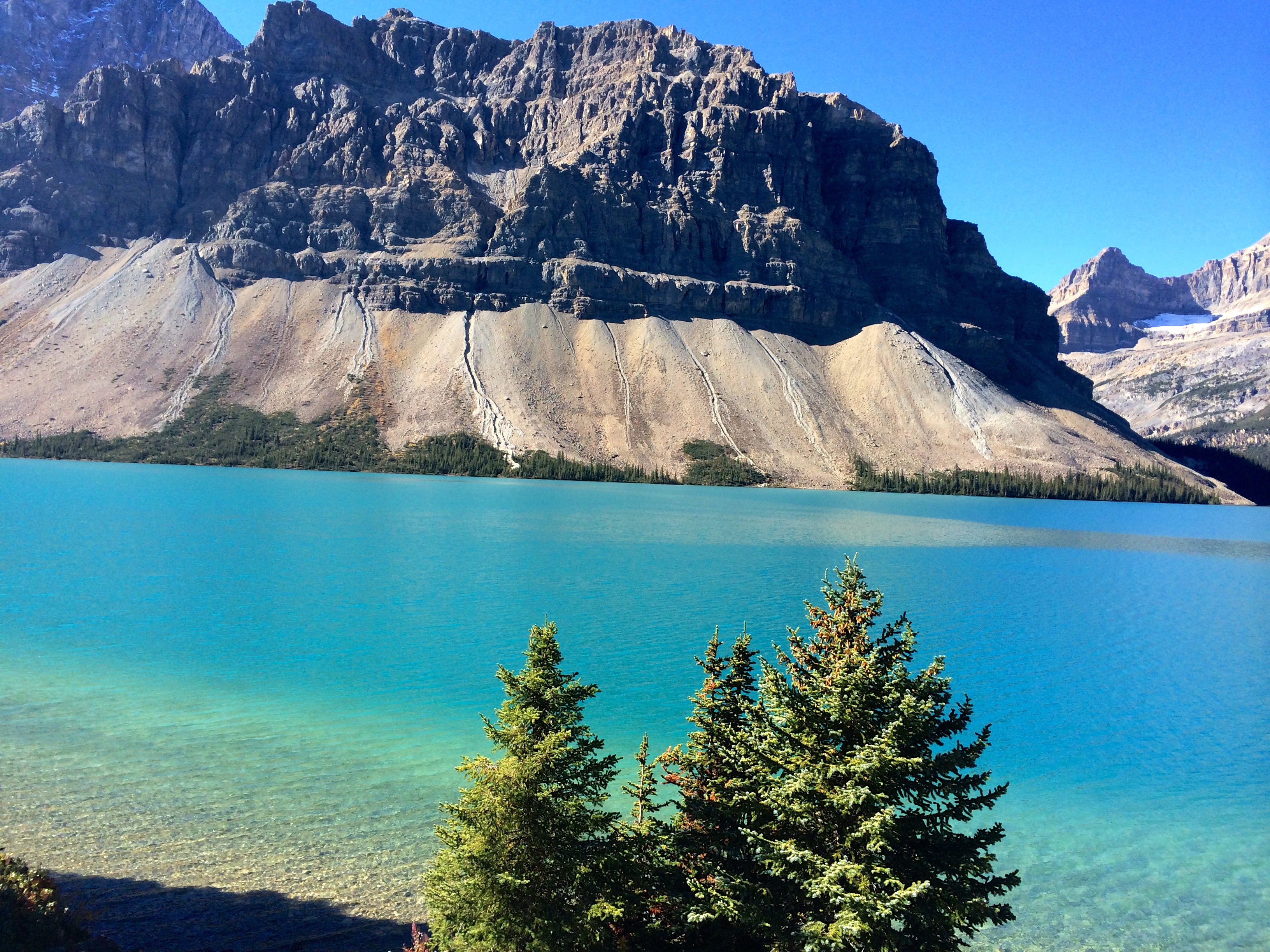
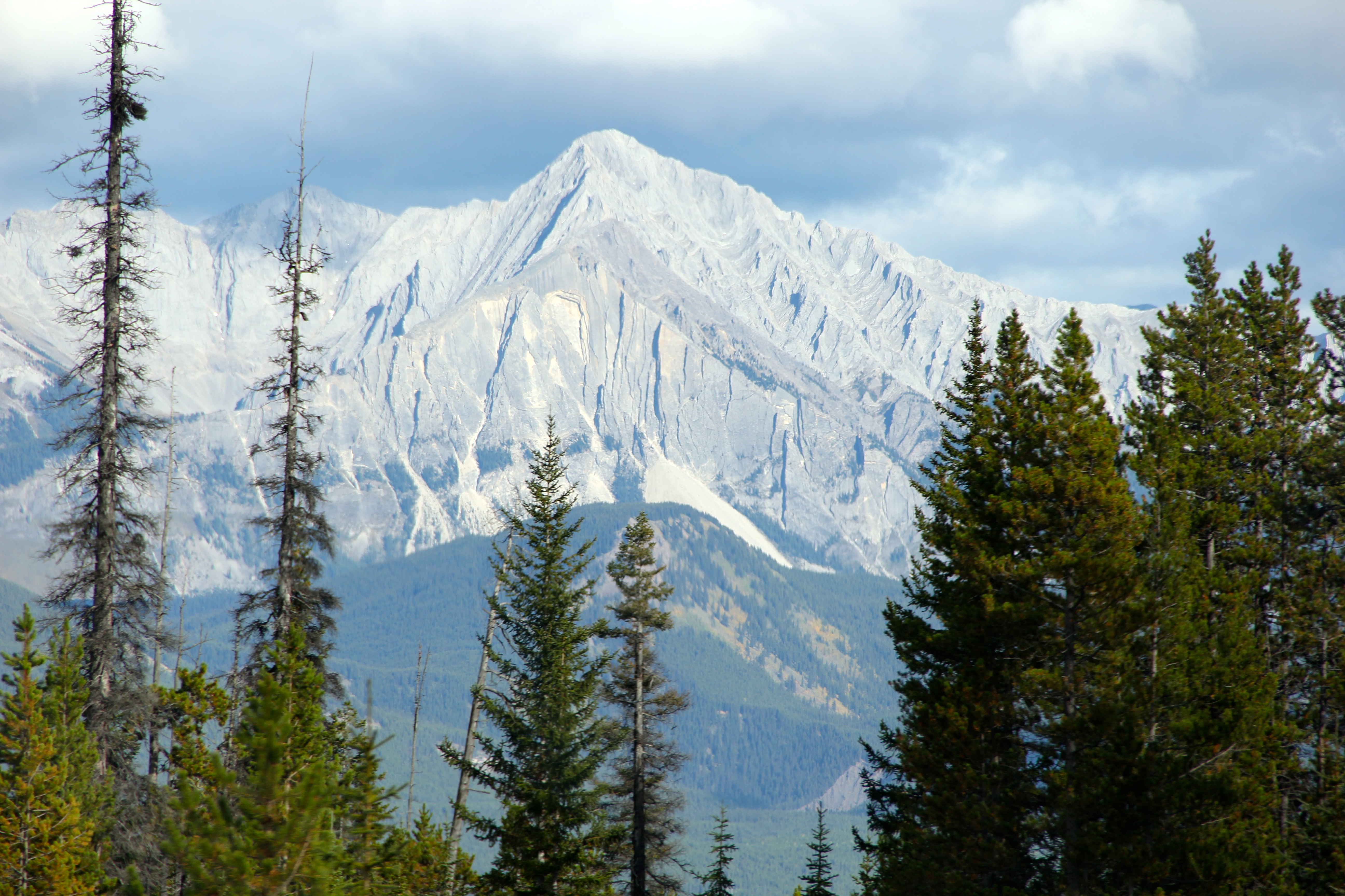
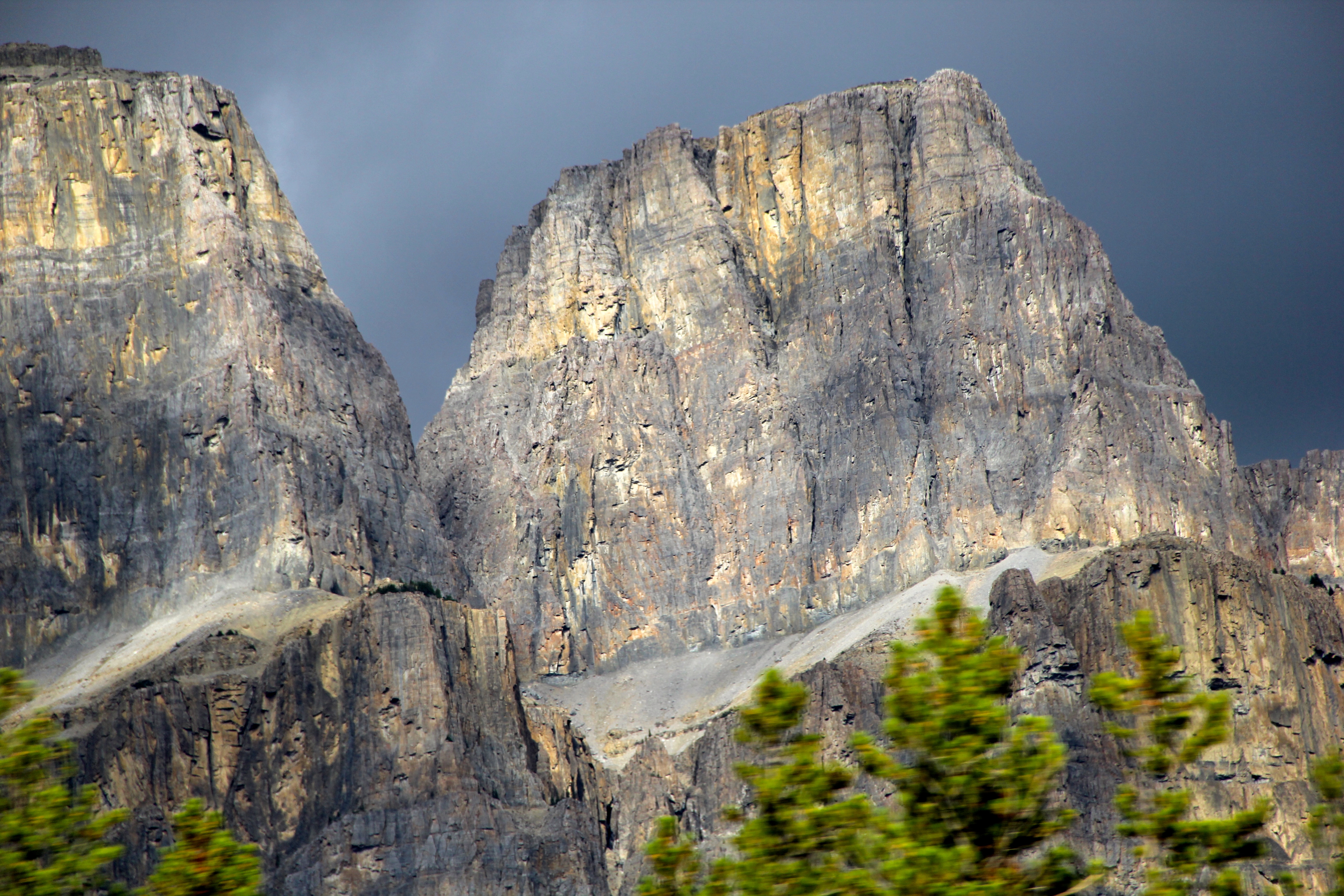
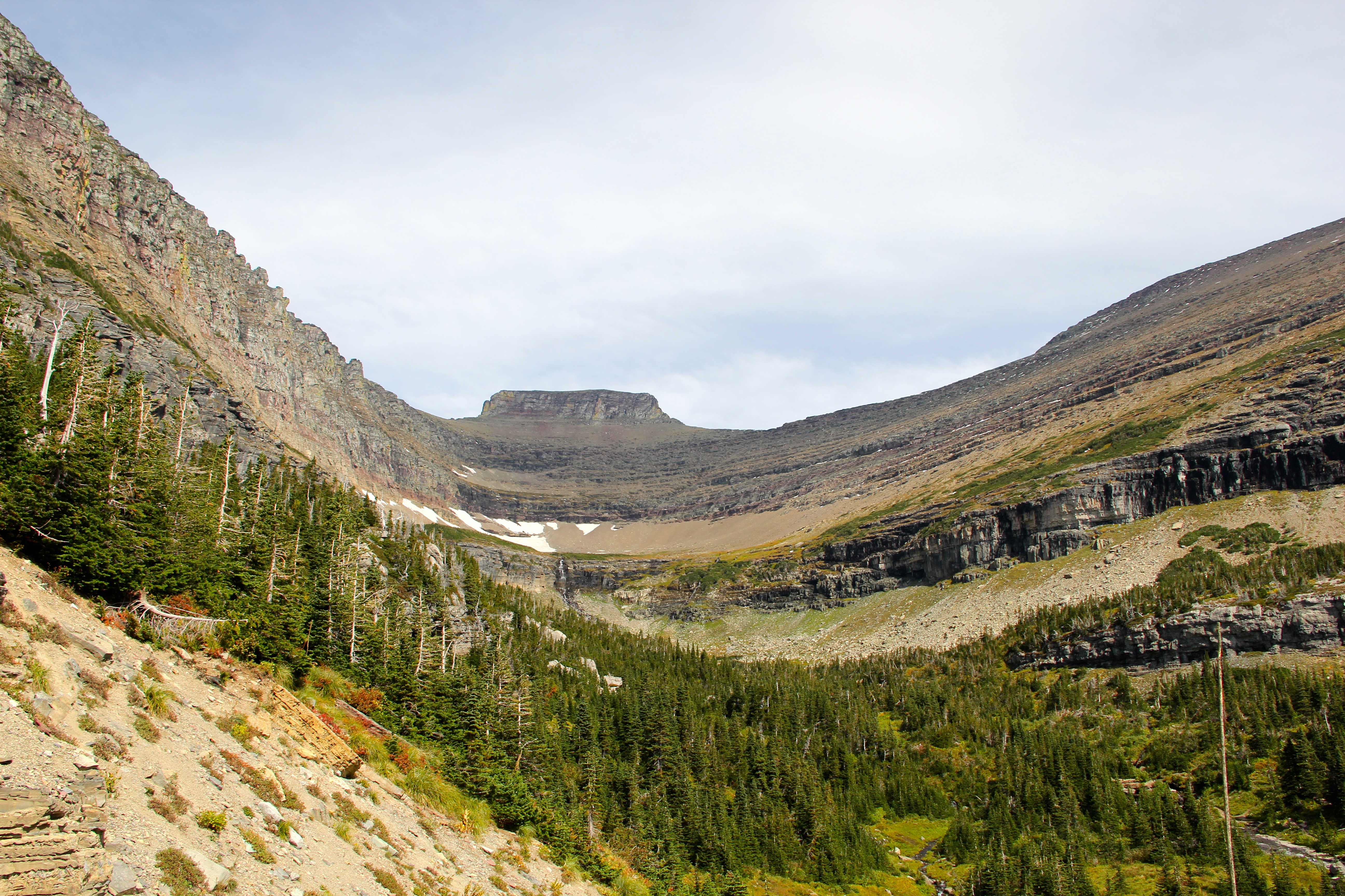
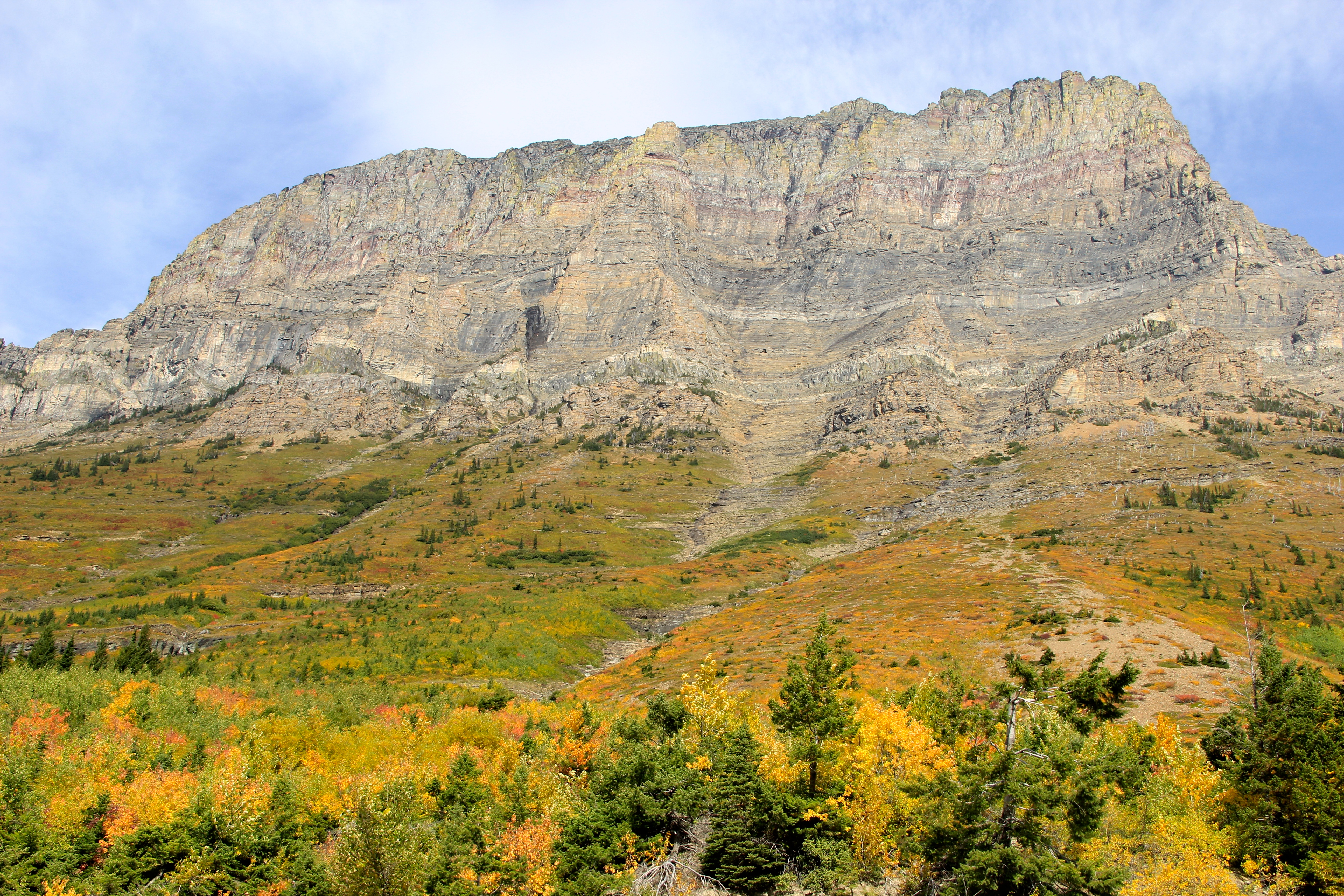
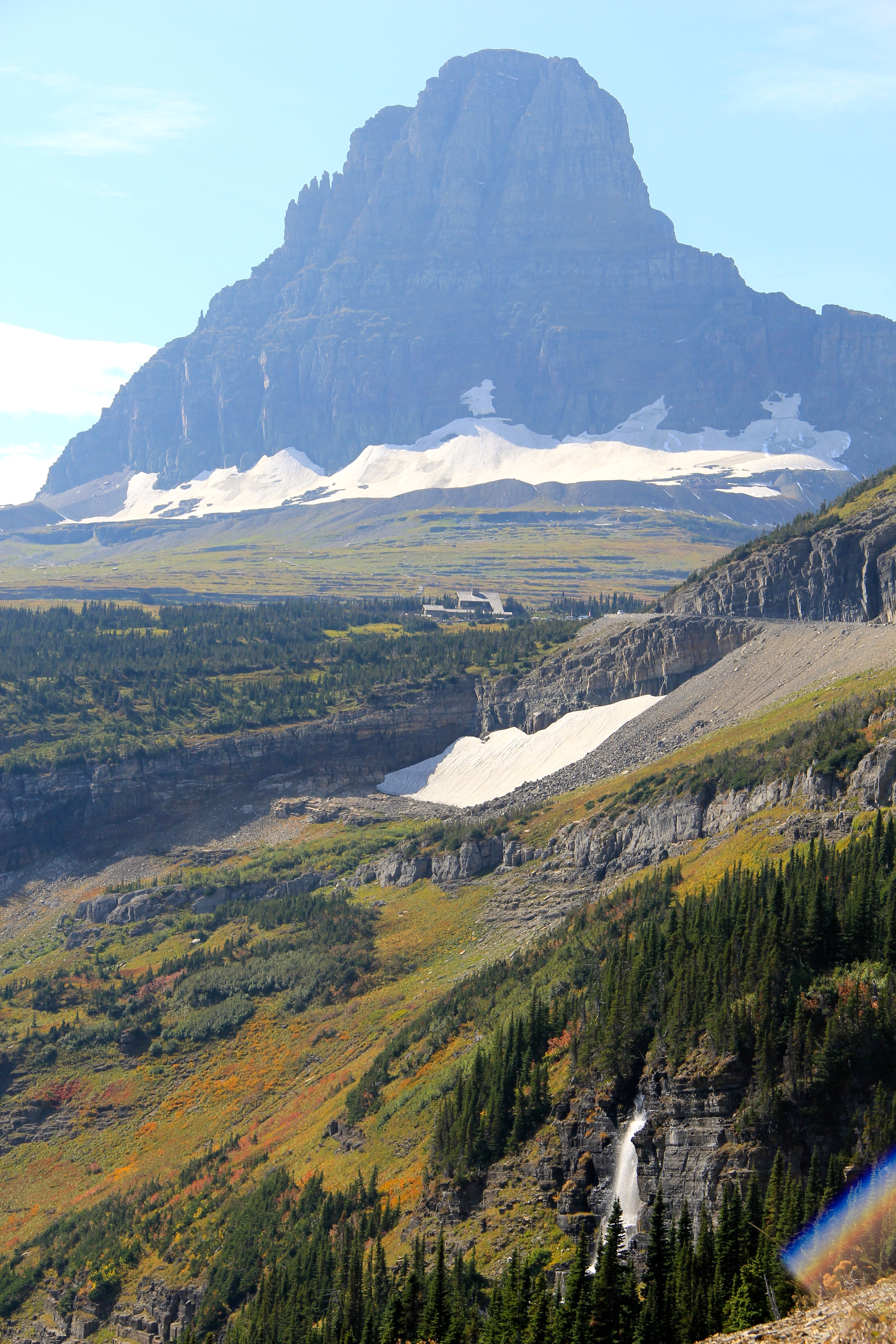
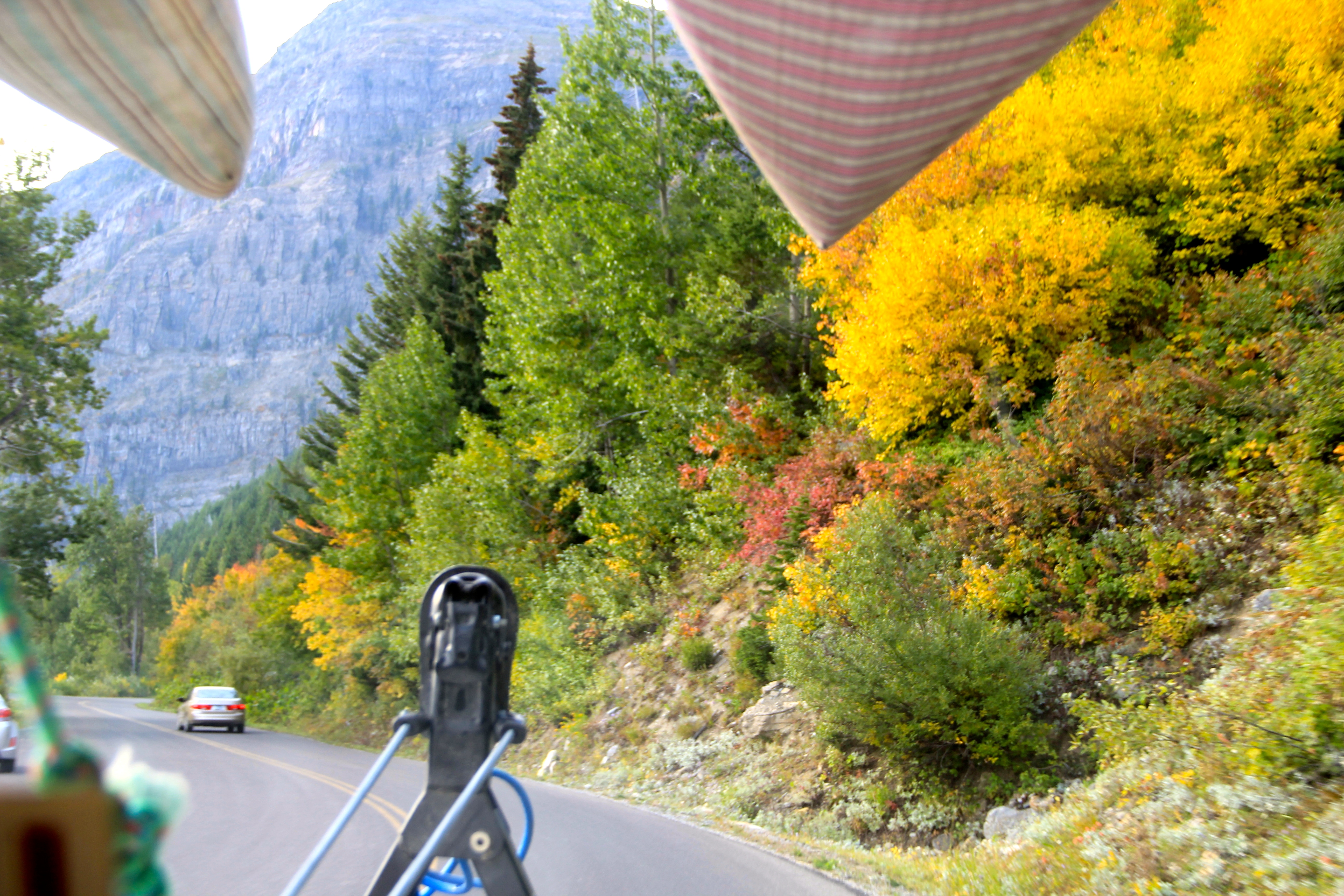
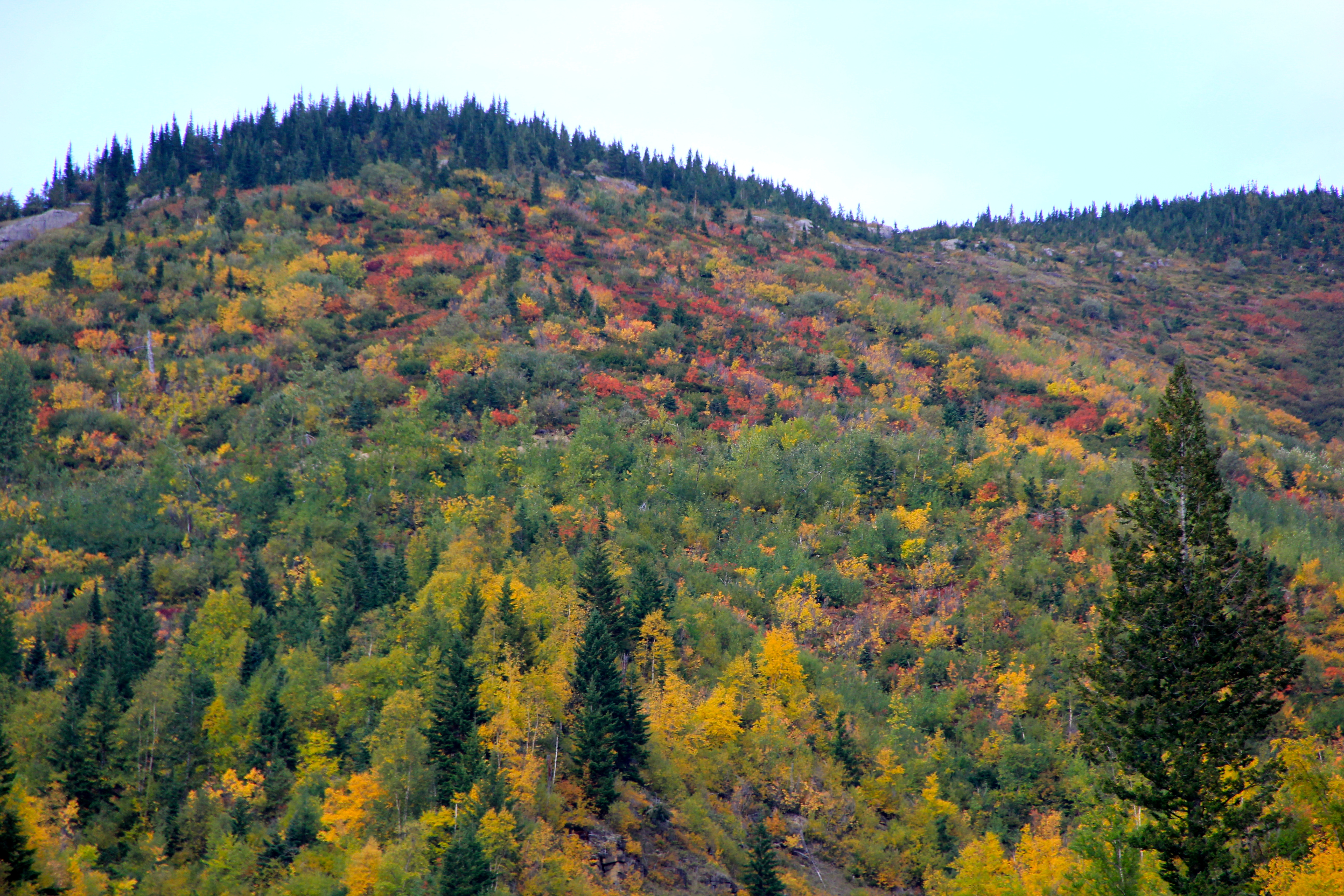
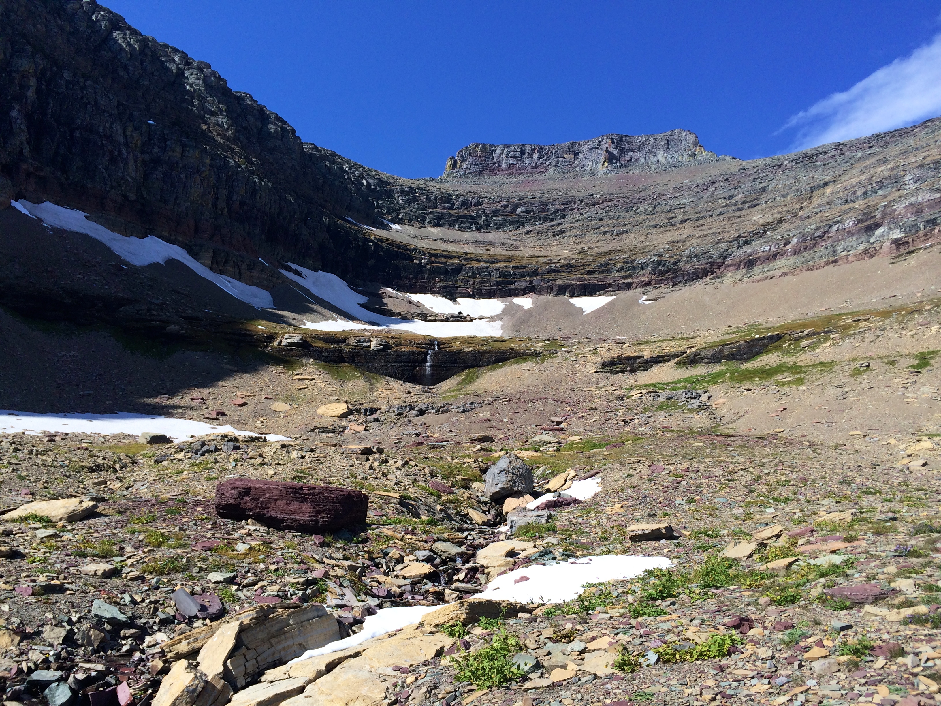
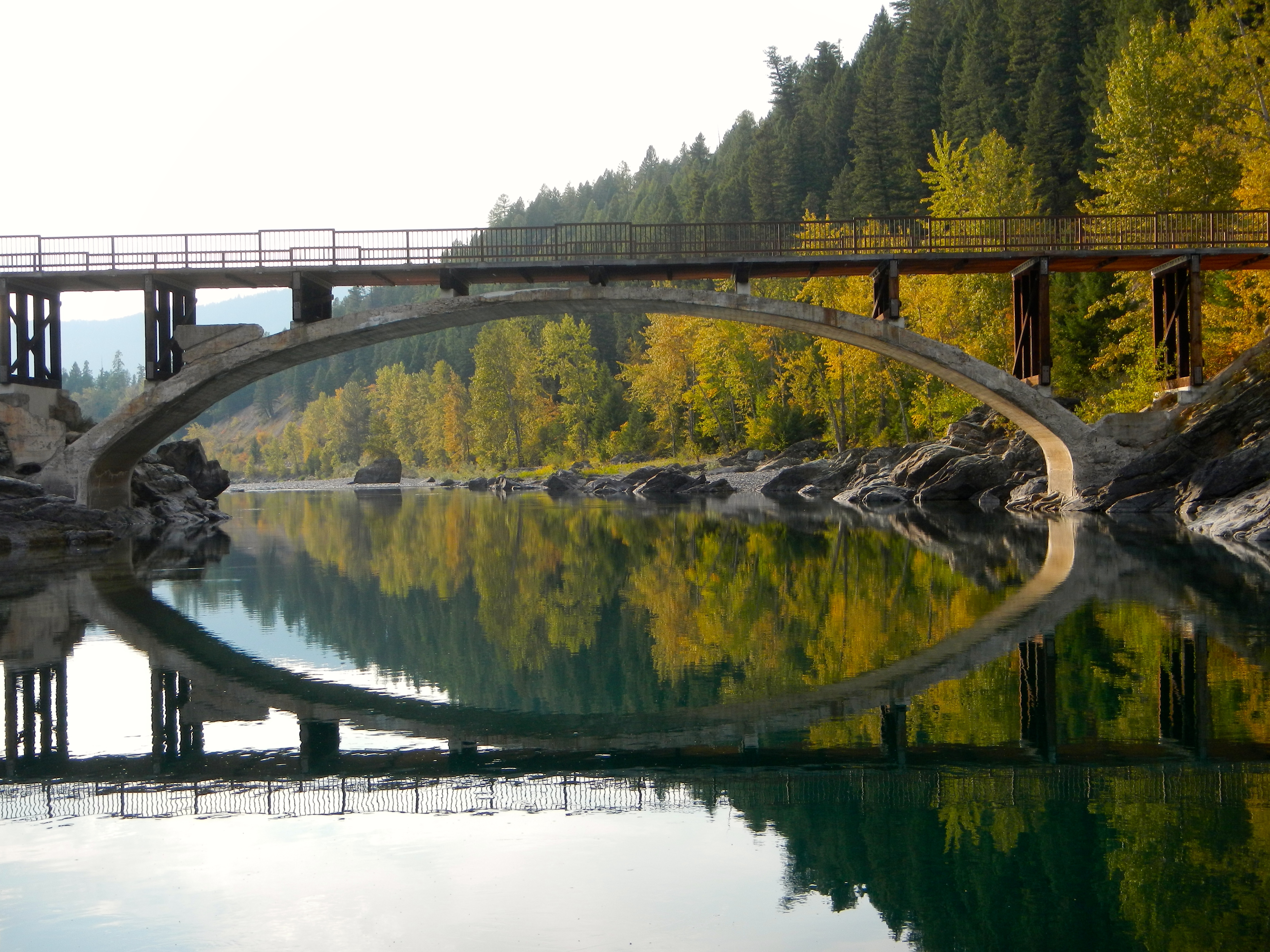
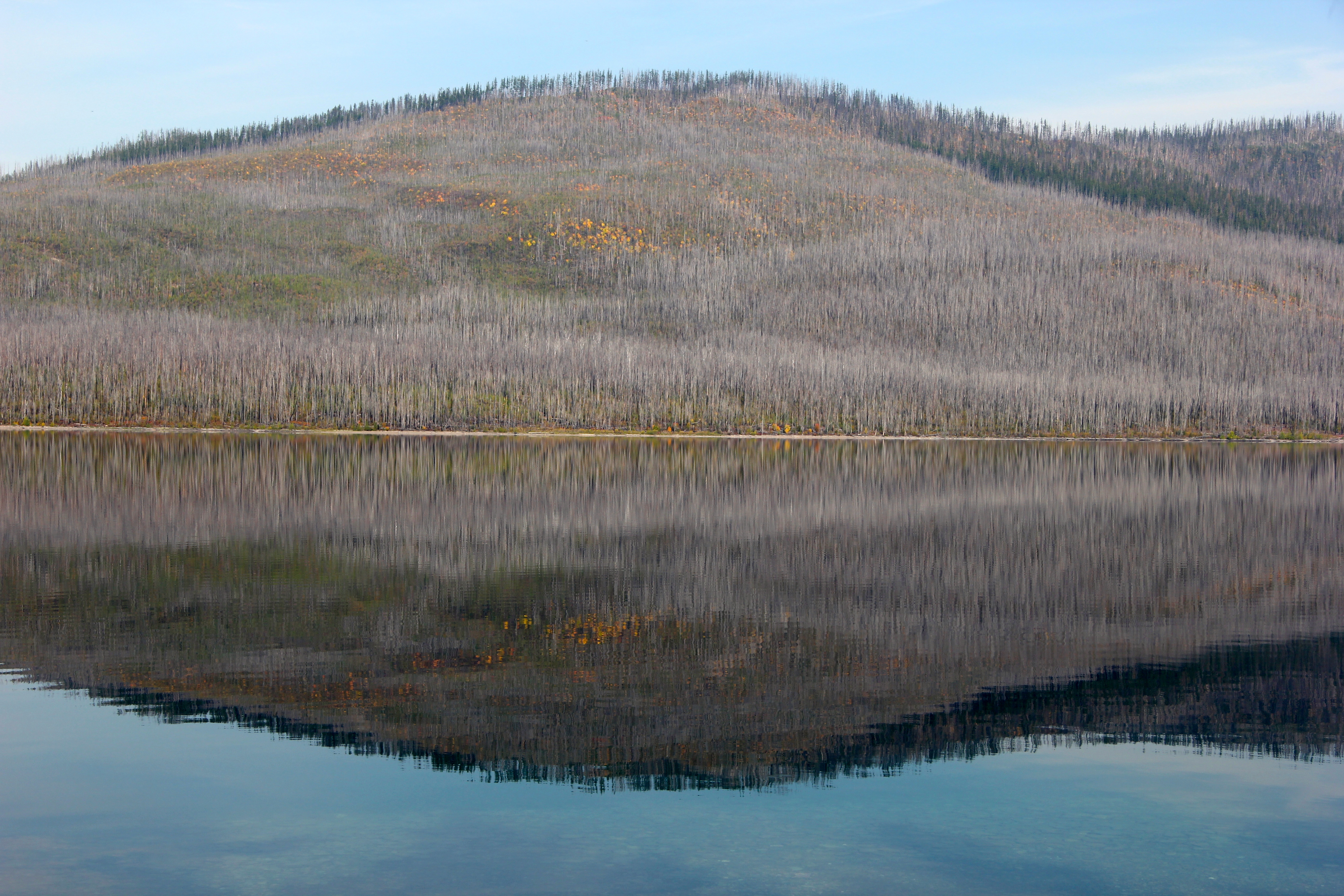
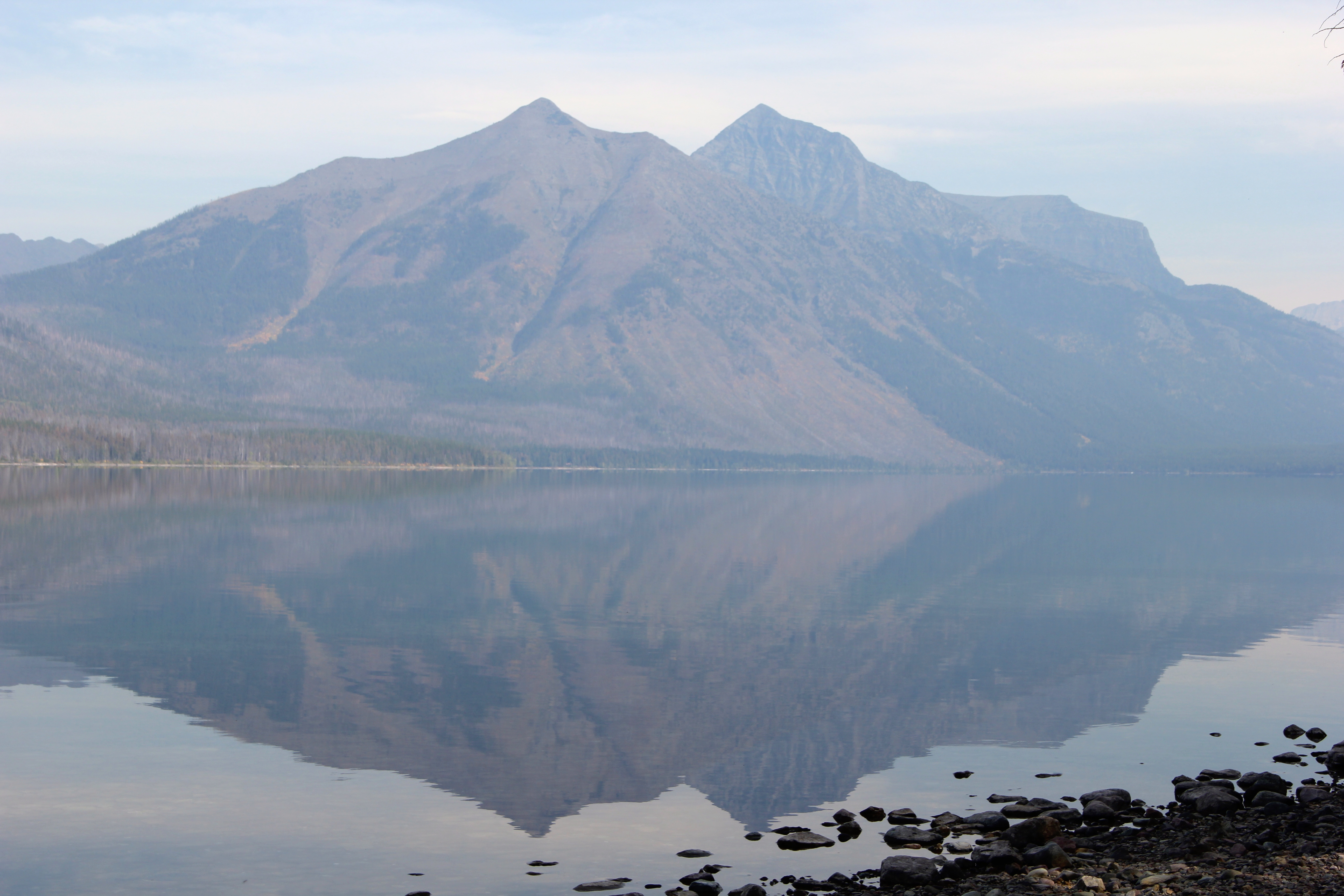
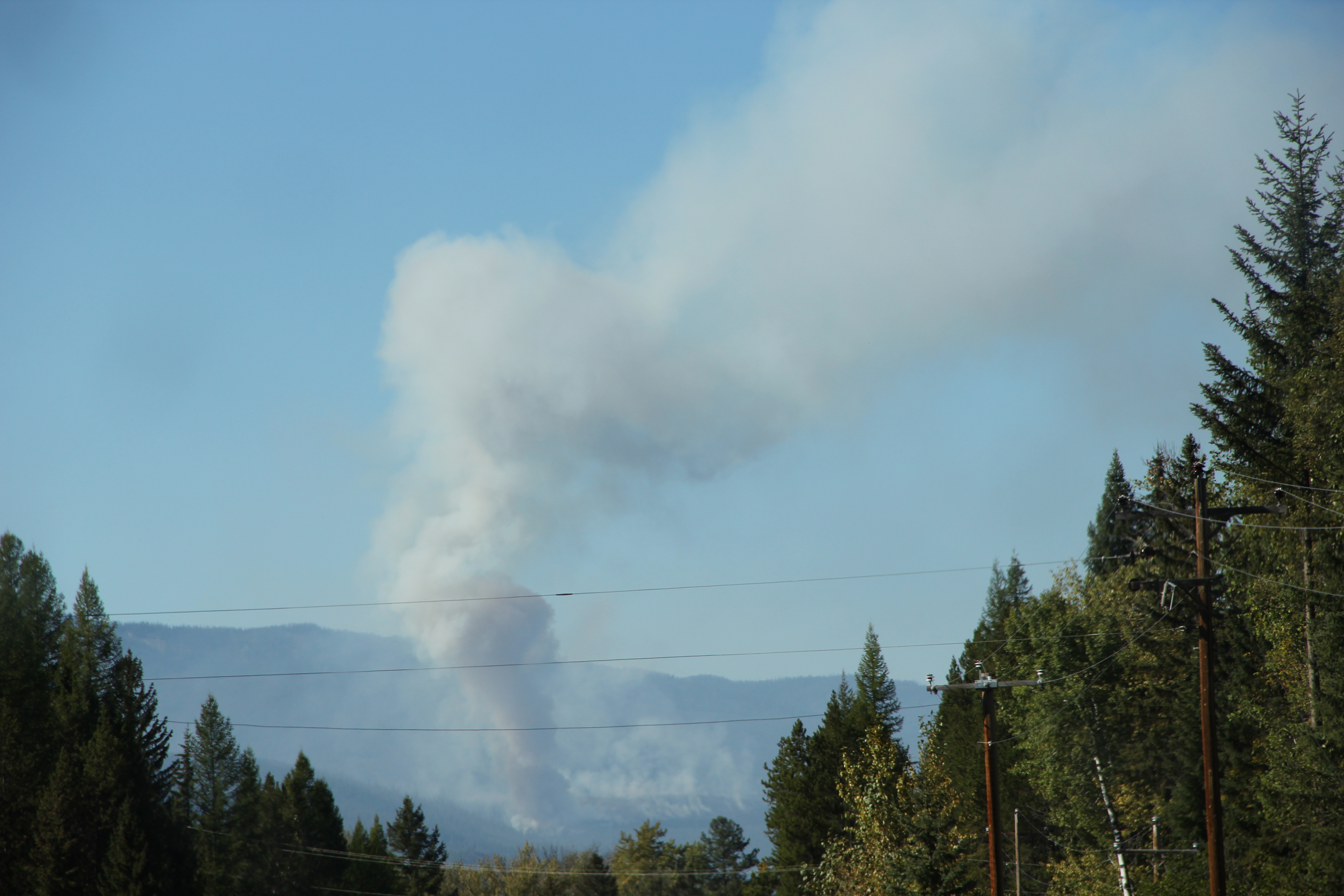
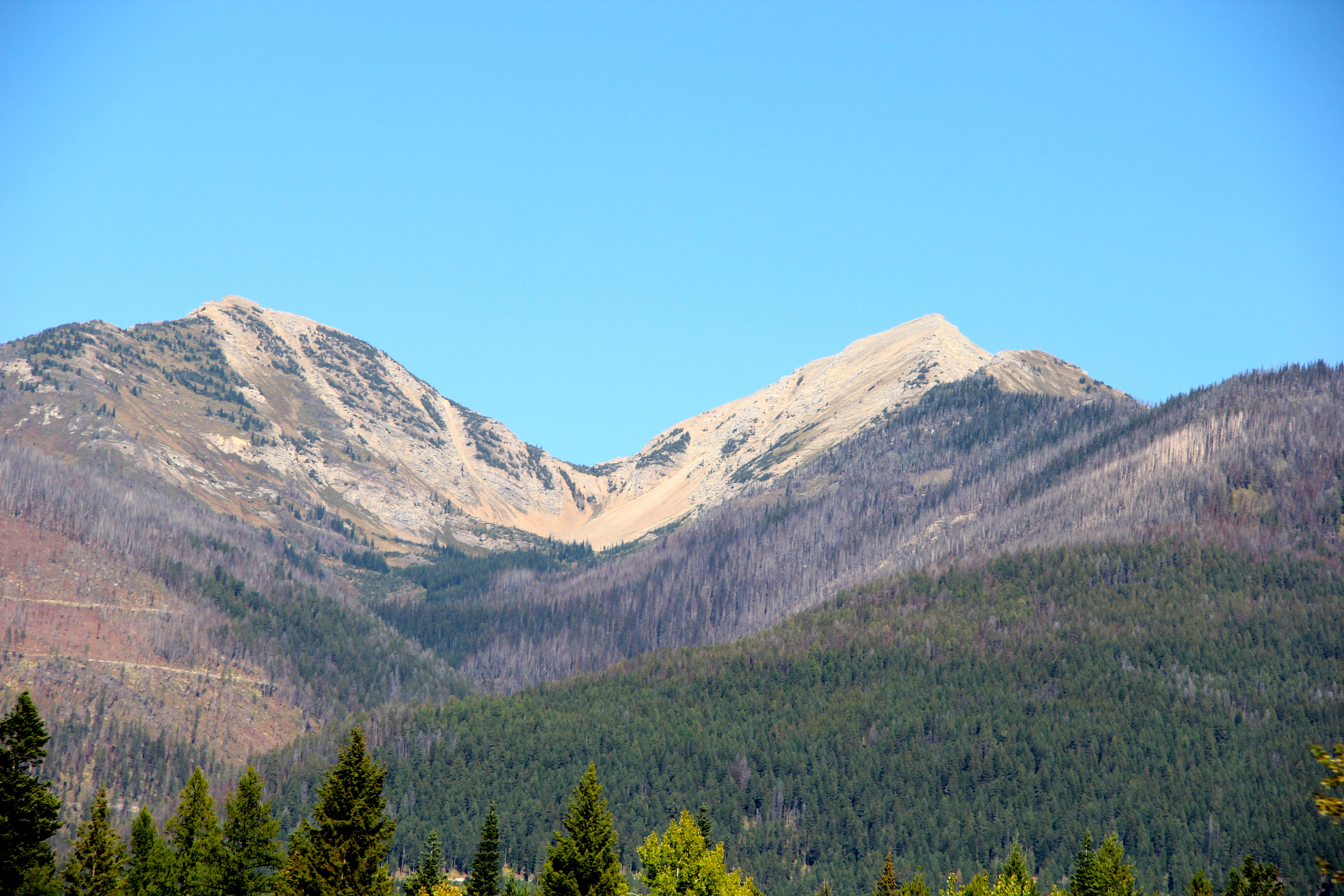
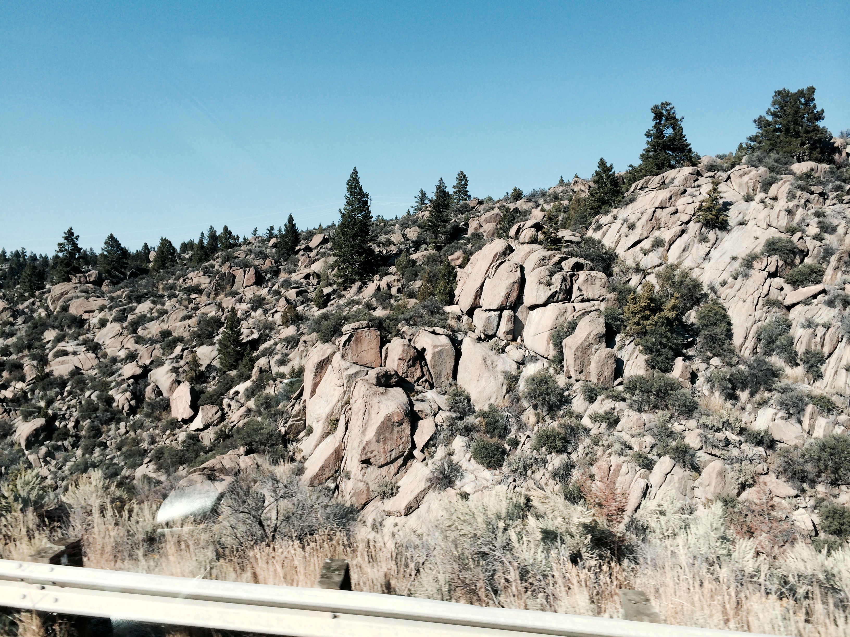
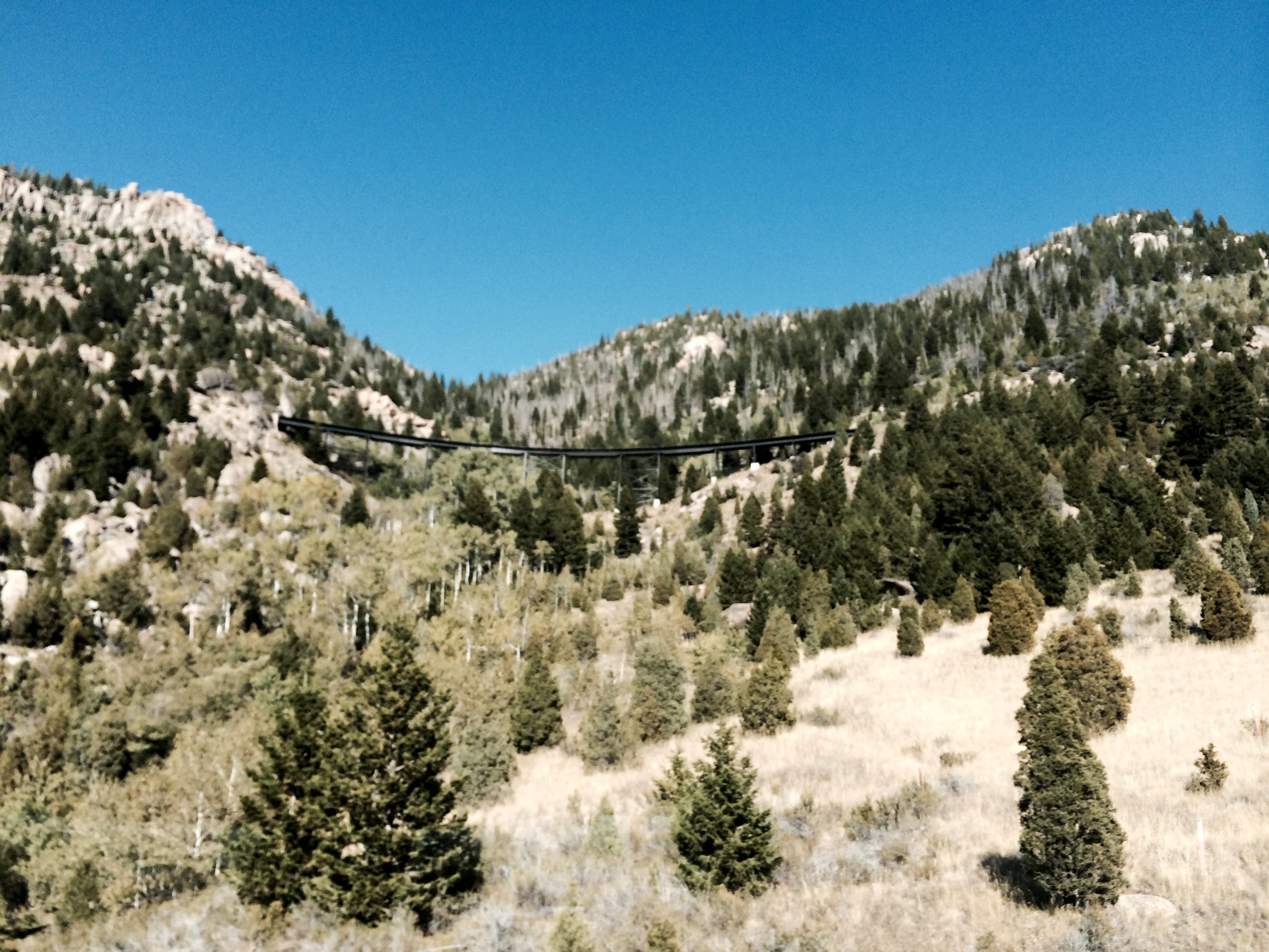
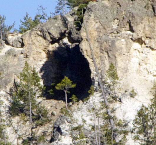
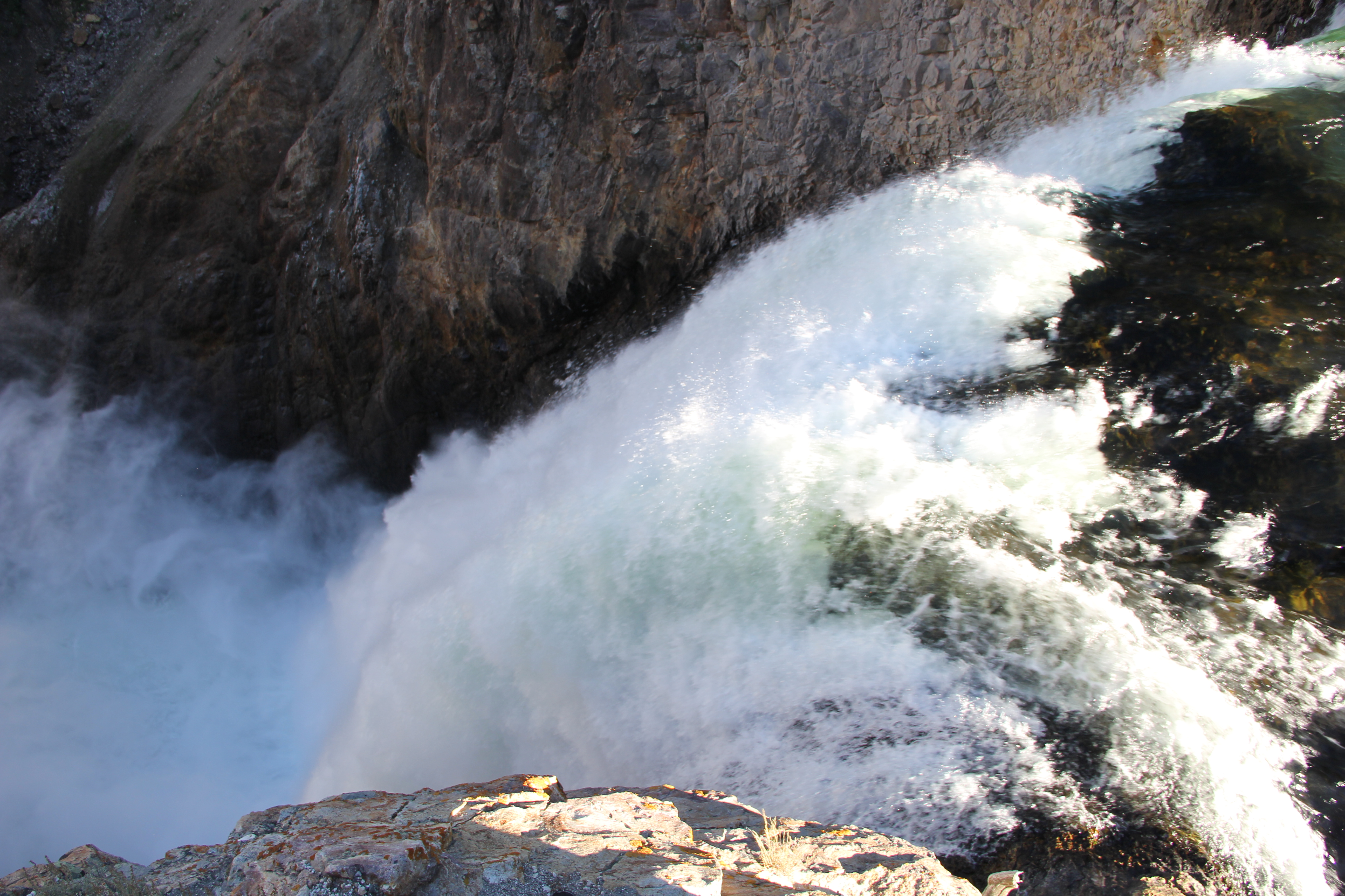
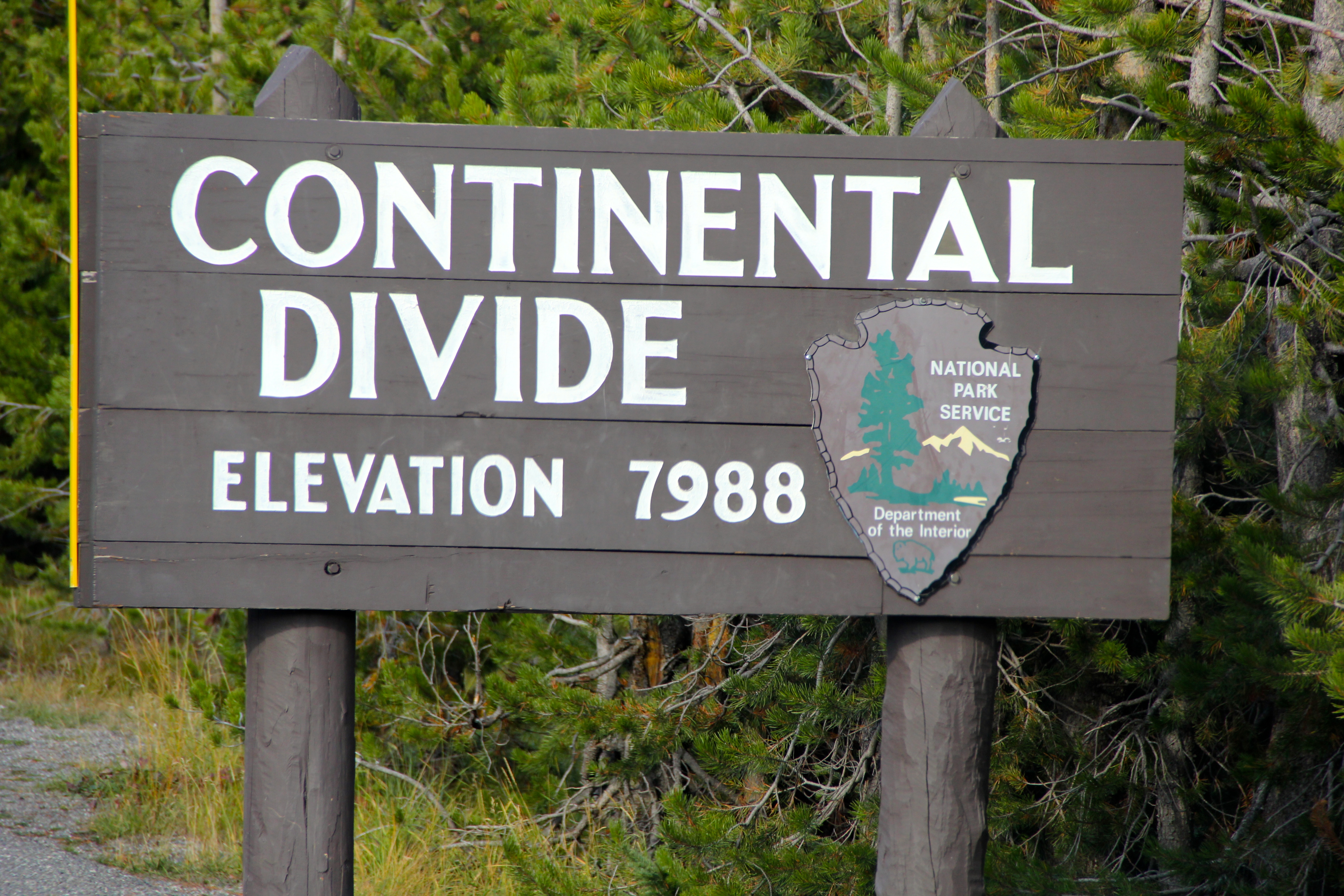
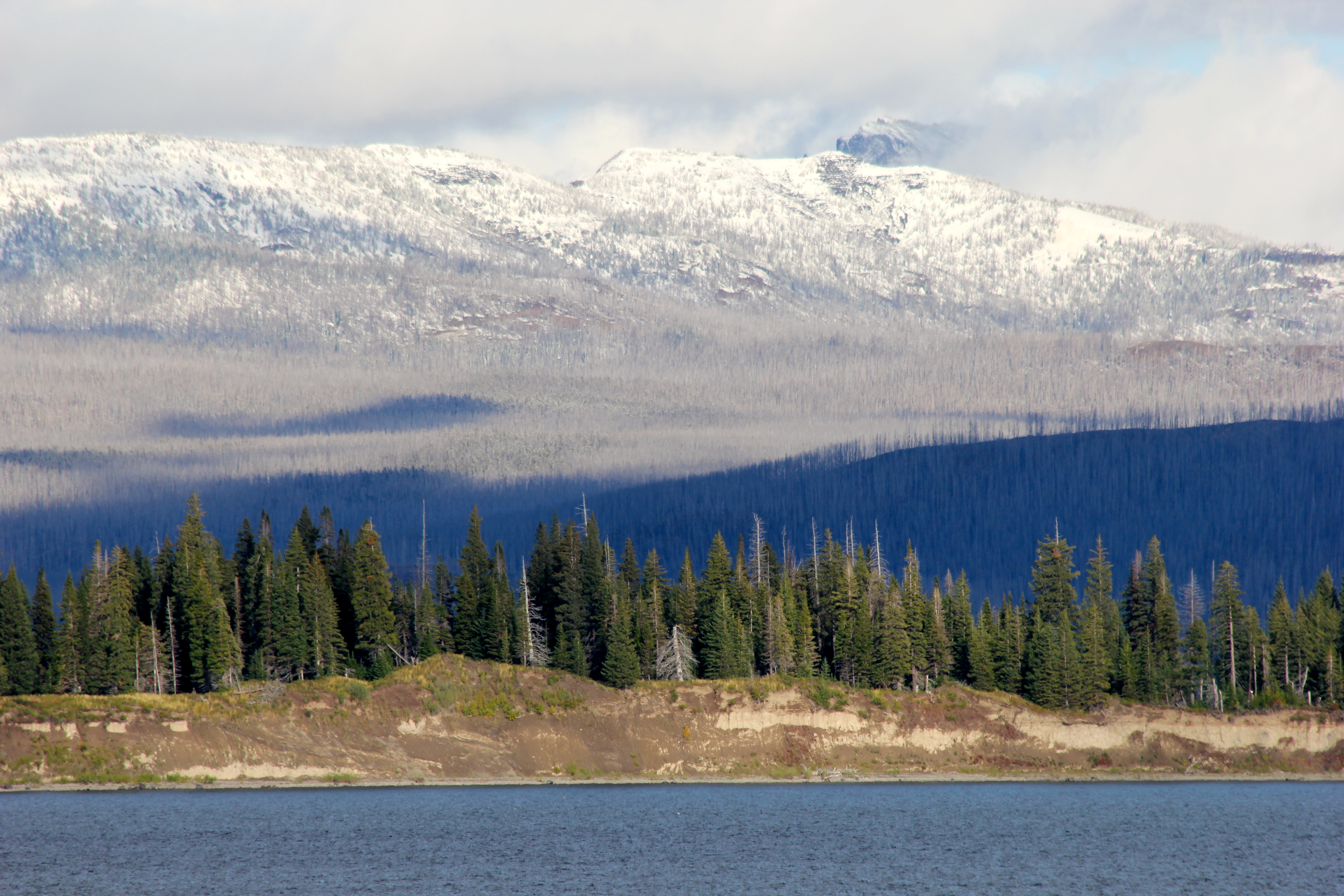
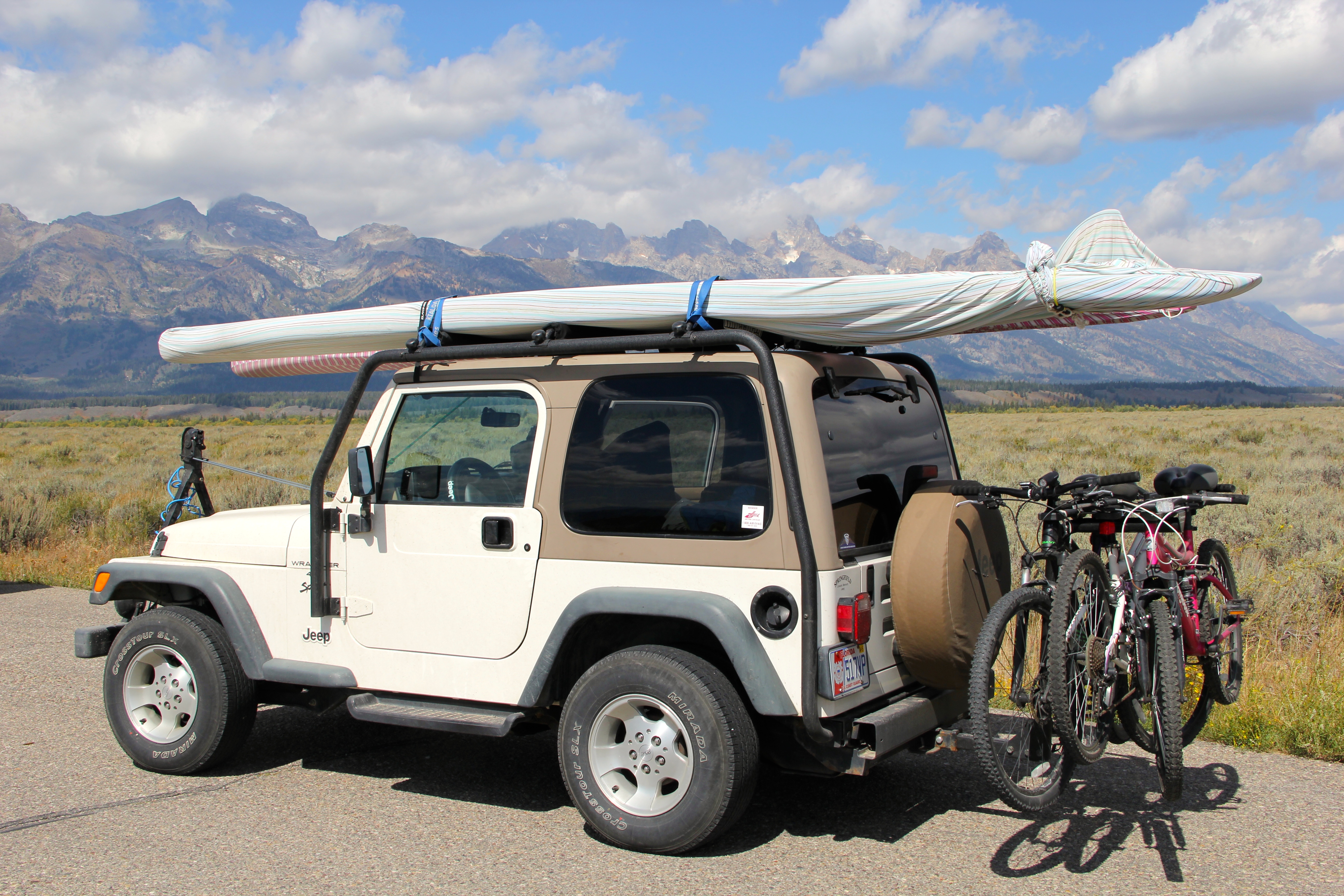
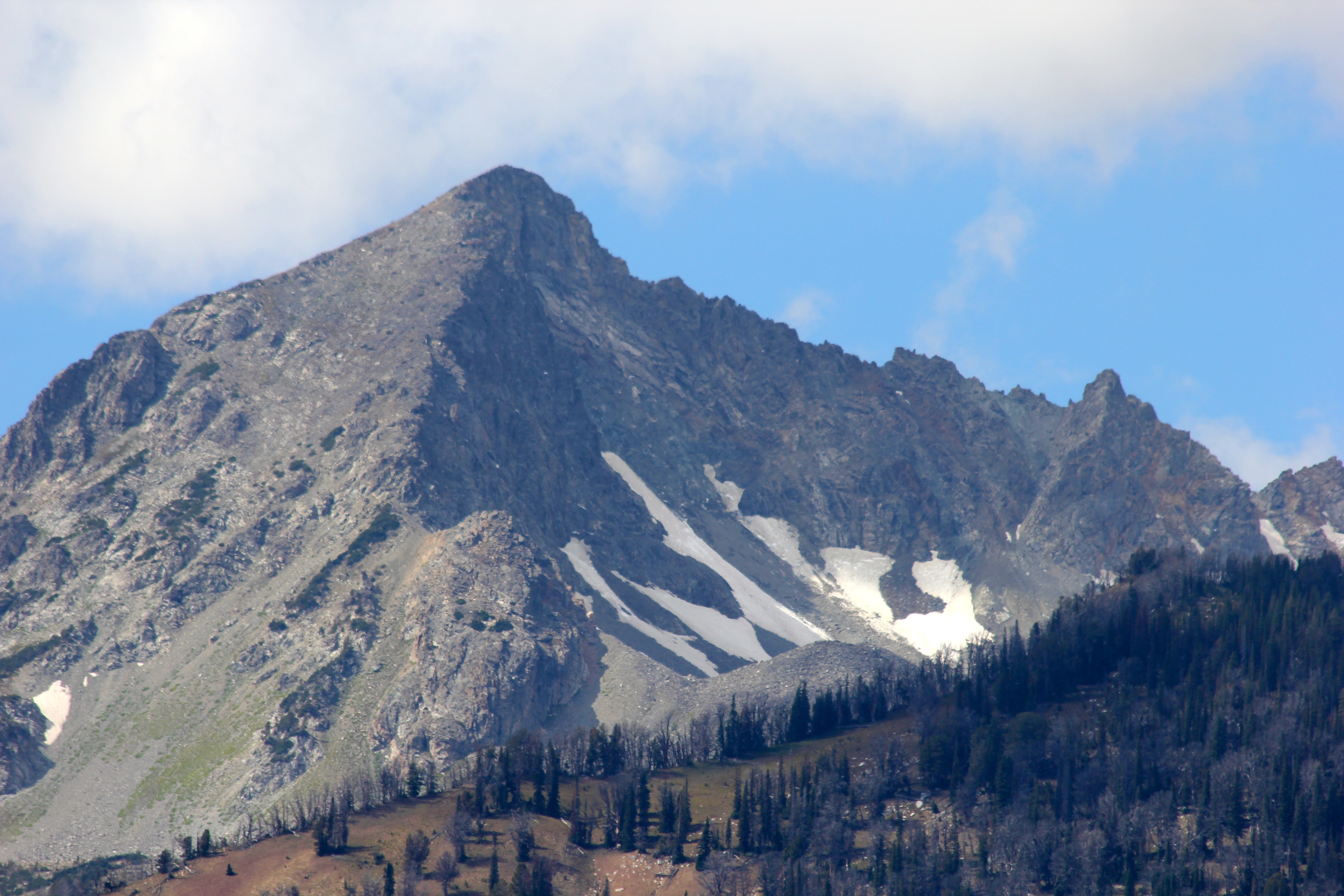
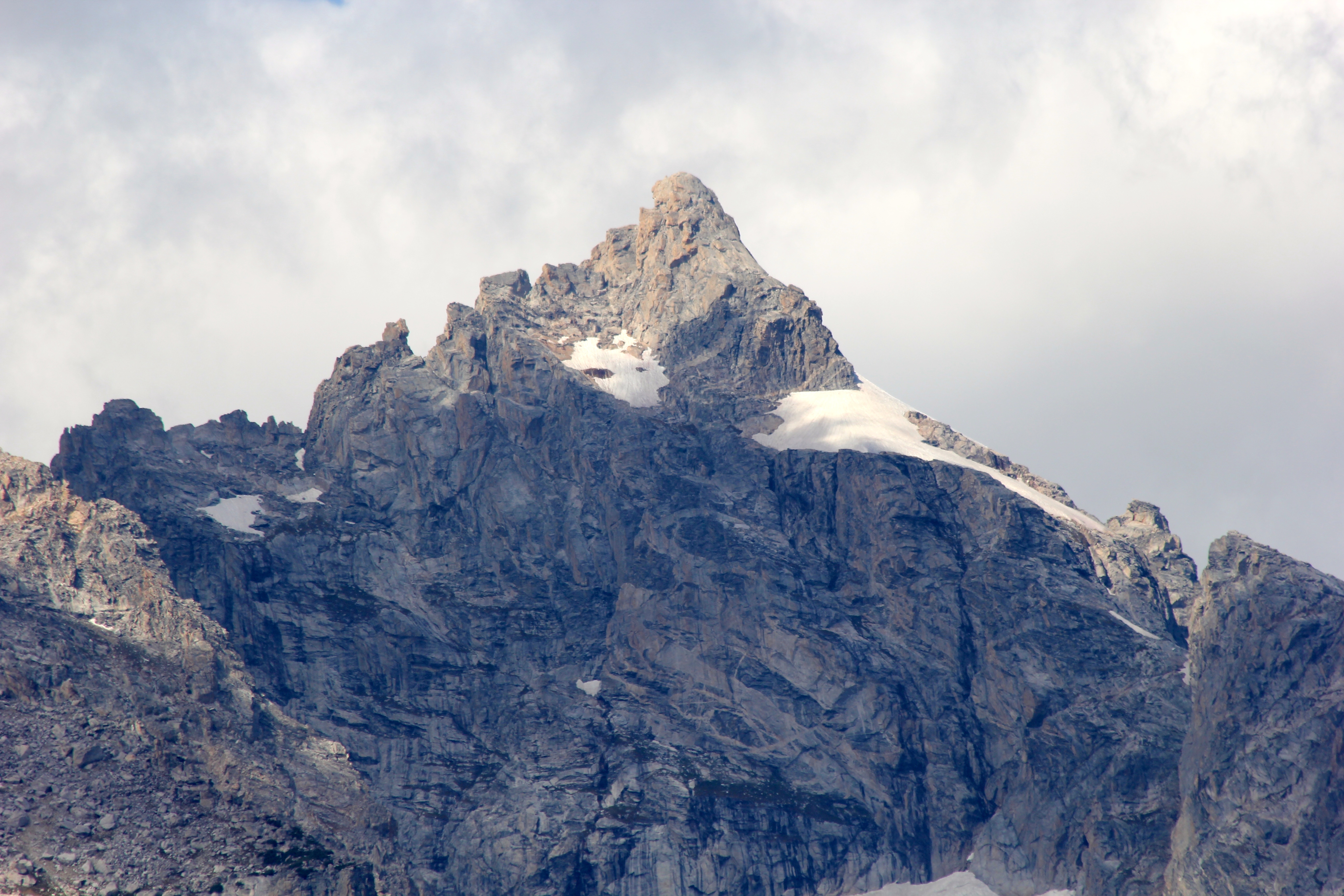
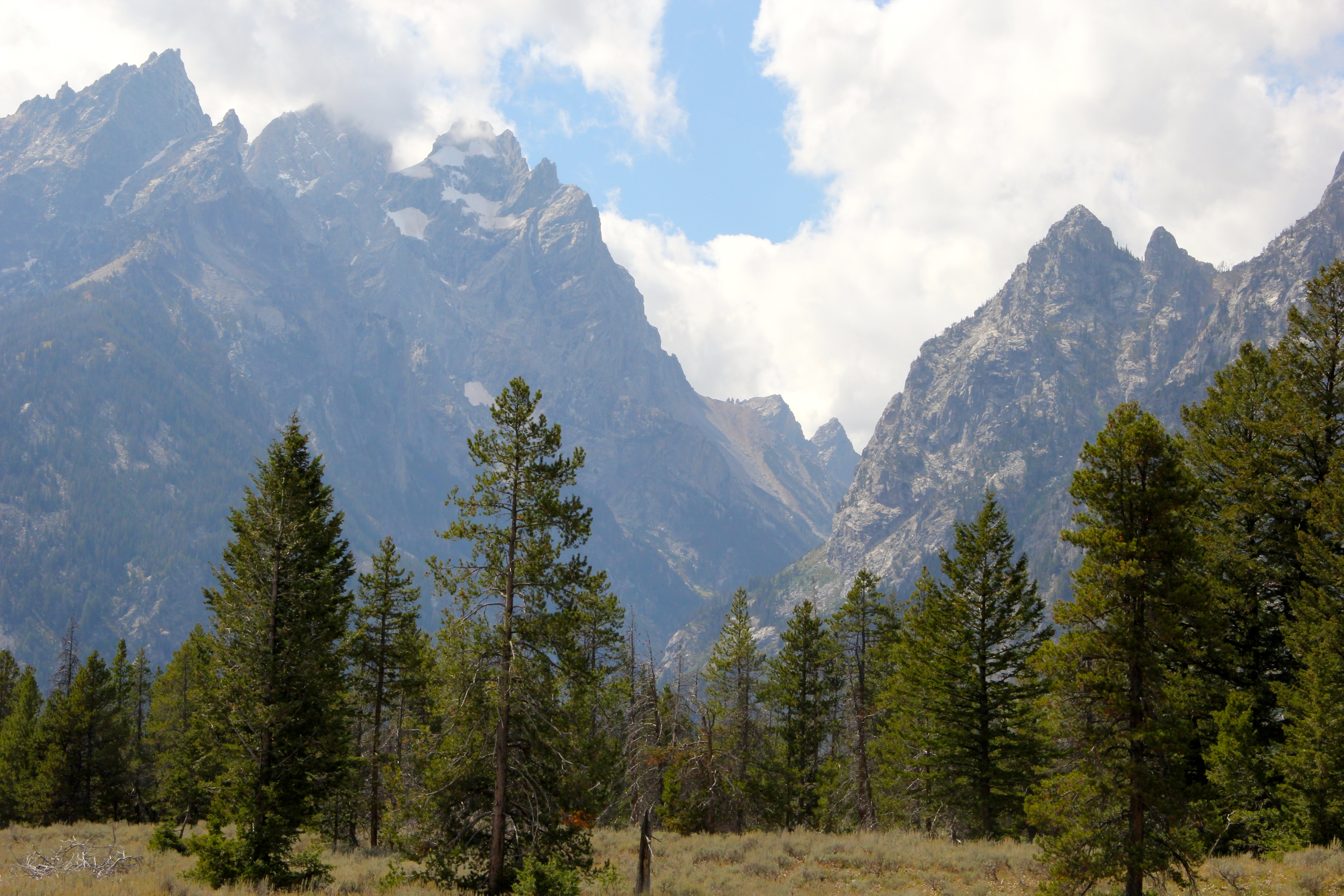
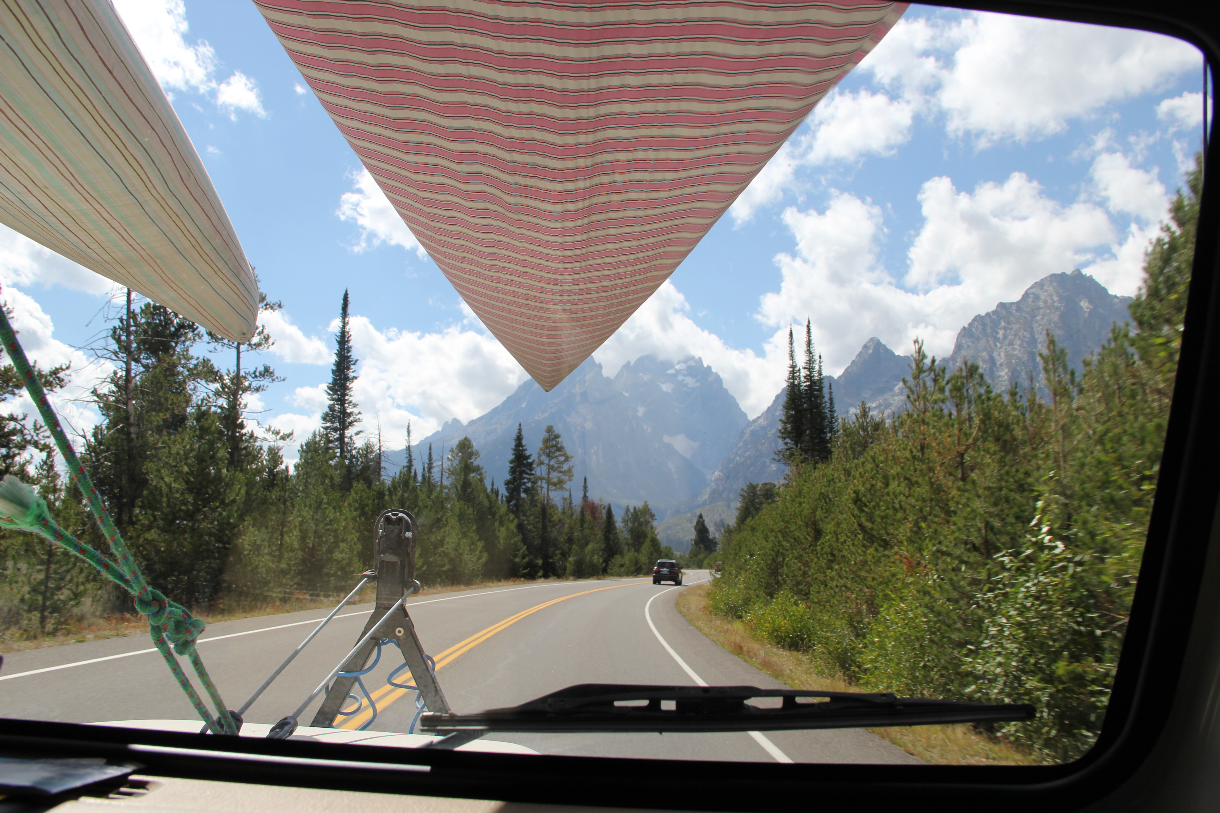
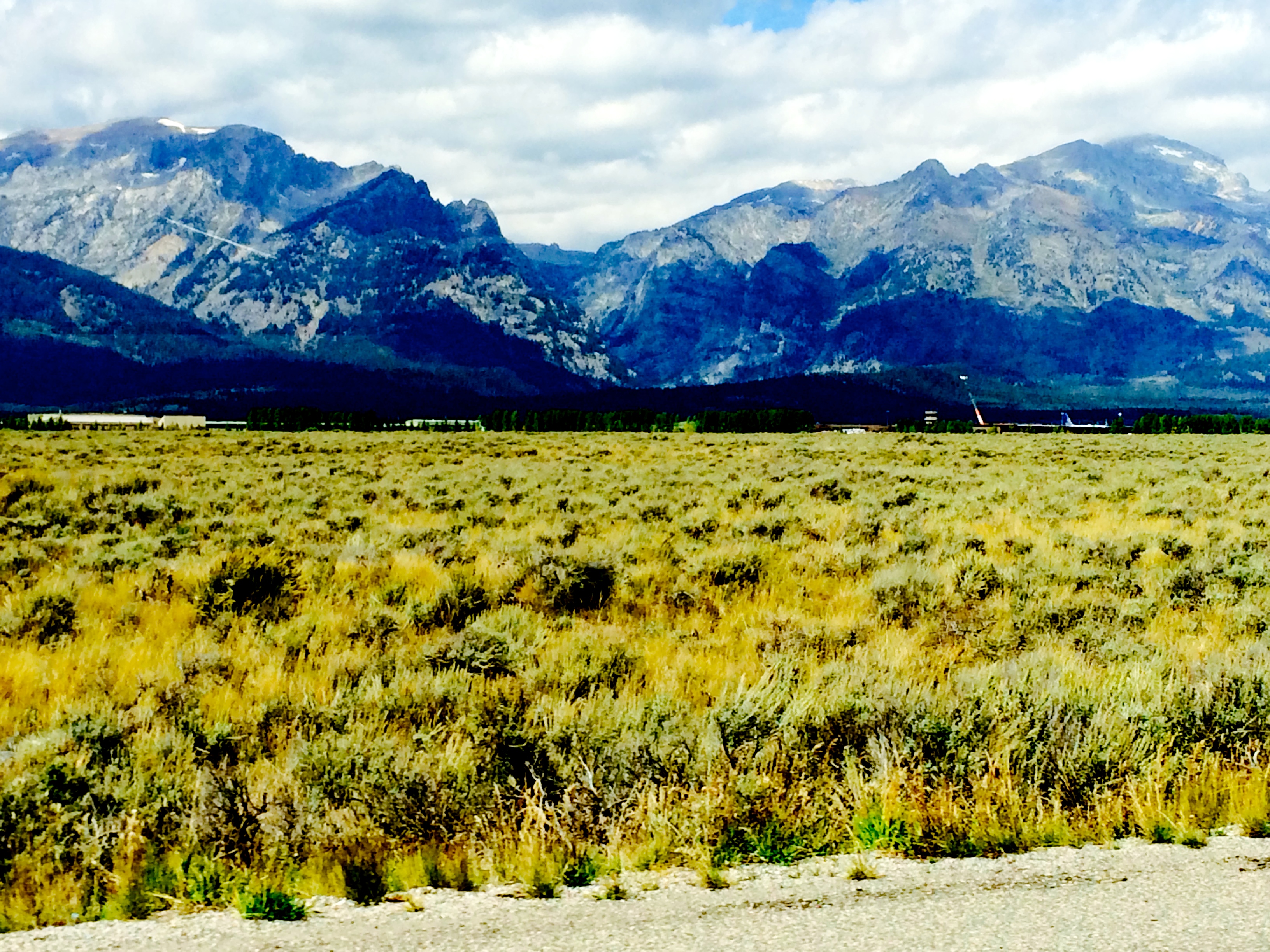
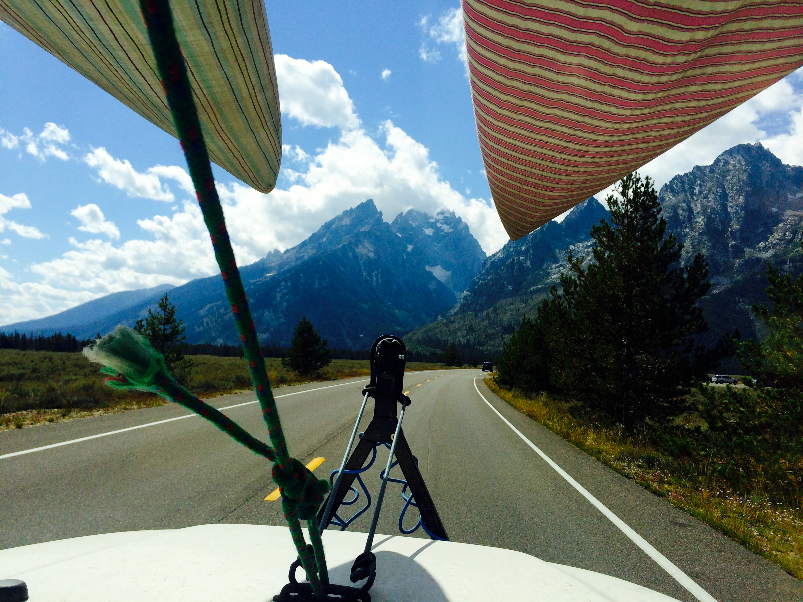
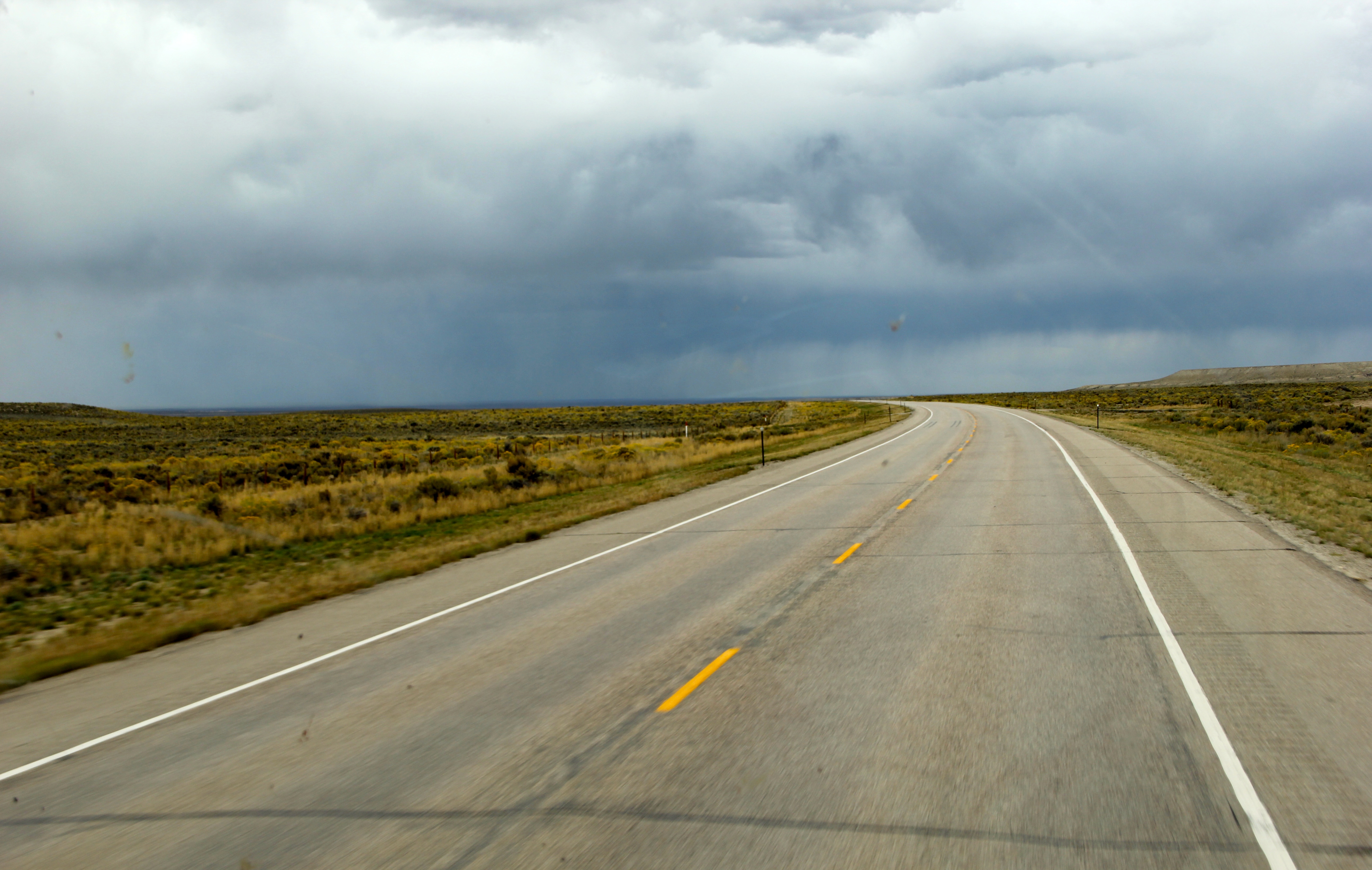
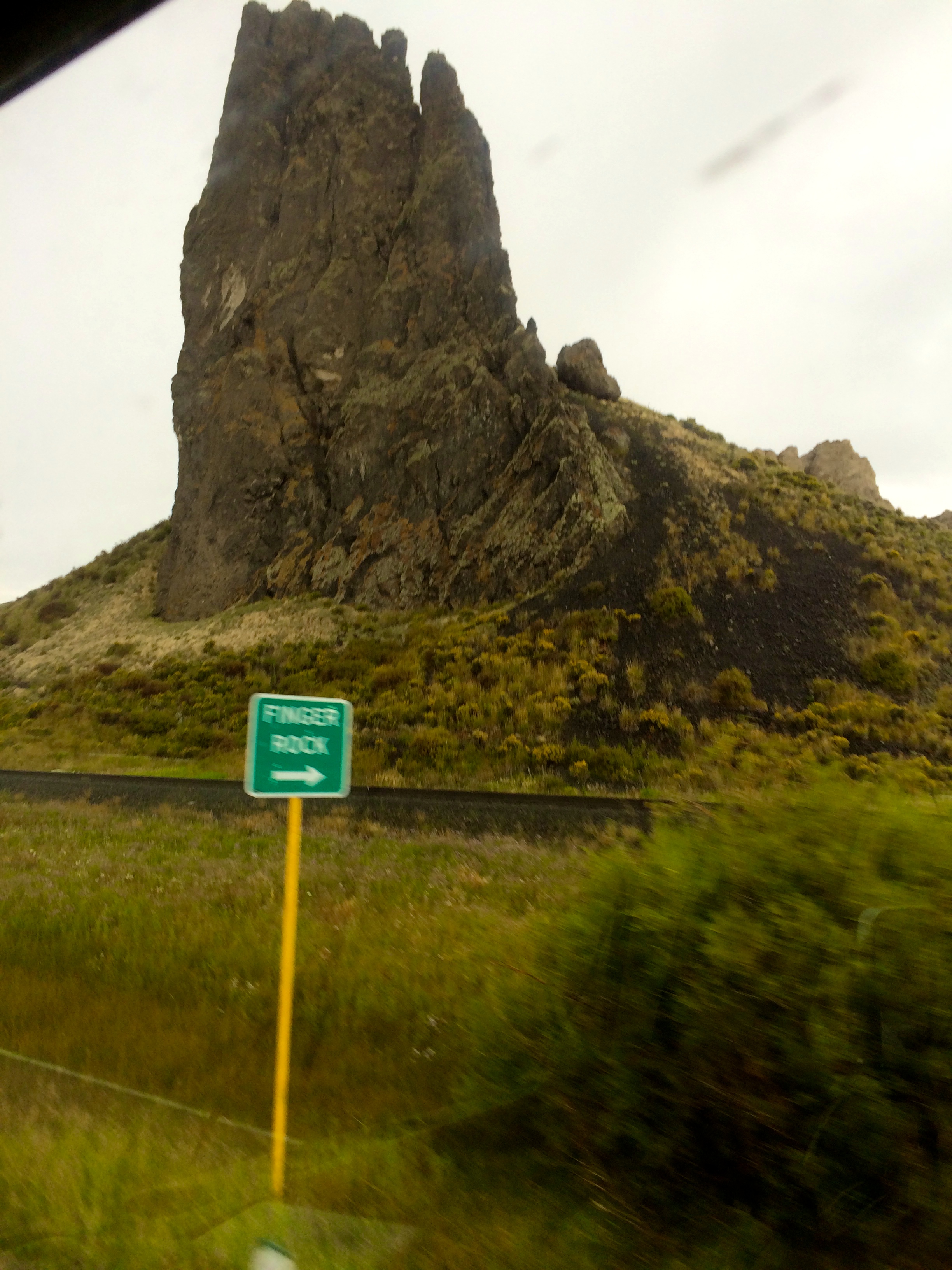
Following fishing, we had a roadside lunch and began heading North out of Yellowstone Park making our way to Glacier National Park, via Bozeman and Butte. There was a small section of Montana that was pretty mundane after all of the sites our eyes had been used too, but quickly we were back in the Rockies and traveling over the most interesting steep, boulder strewn terrain. Paralleling our road was a gorgeous railroad track that navigated through the mountain range going through natural rock and mountain tunnels, with tall bridges above us and all very nostalgic looking. (I will write more on the train system through this rural area soon….reading up on this fascinating piece of history first).

We arrived early evening in Butte, Montana, a western town steeped in history but also home to one of the most toxic areas in the U.S. The Berkely Copper mining operation, improperly shut down in the 80’s, had leached highly toxic material into the ground water. Just an interesting fact.

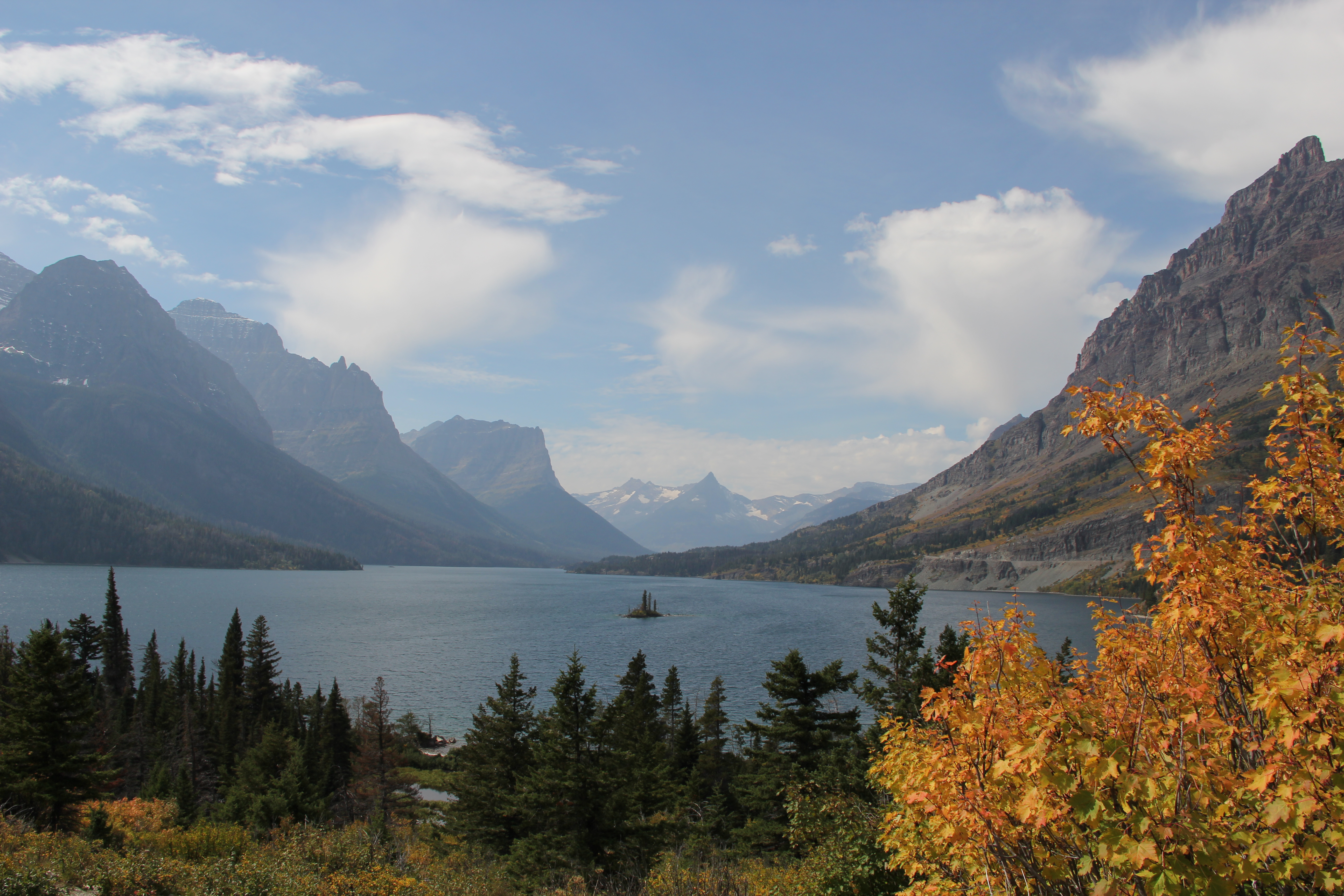
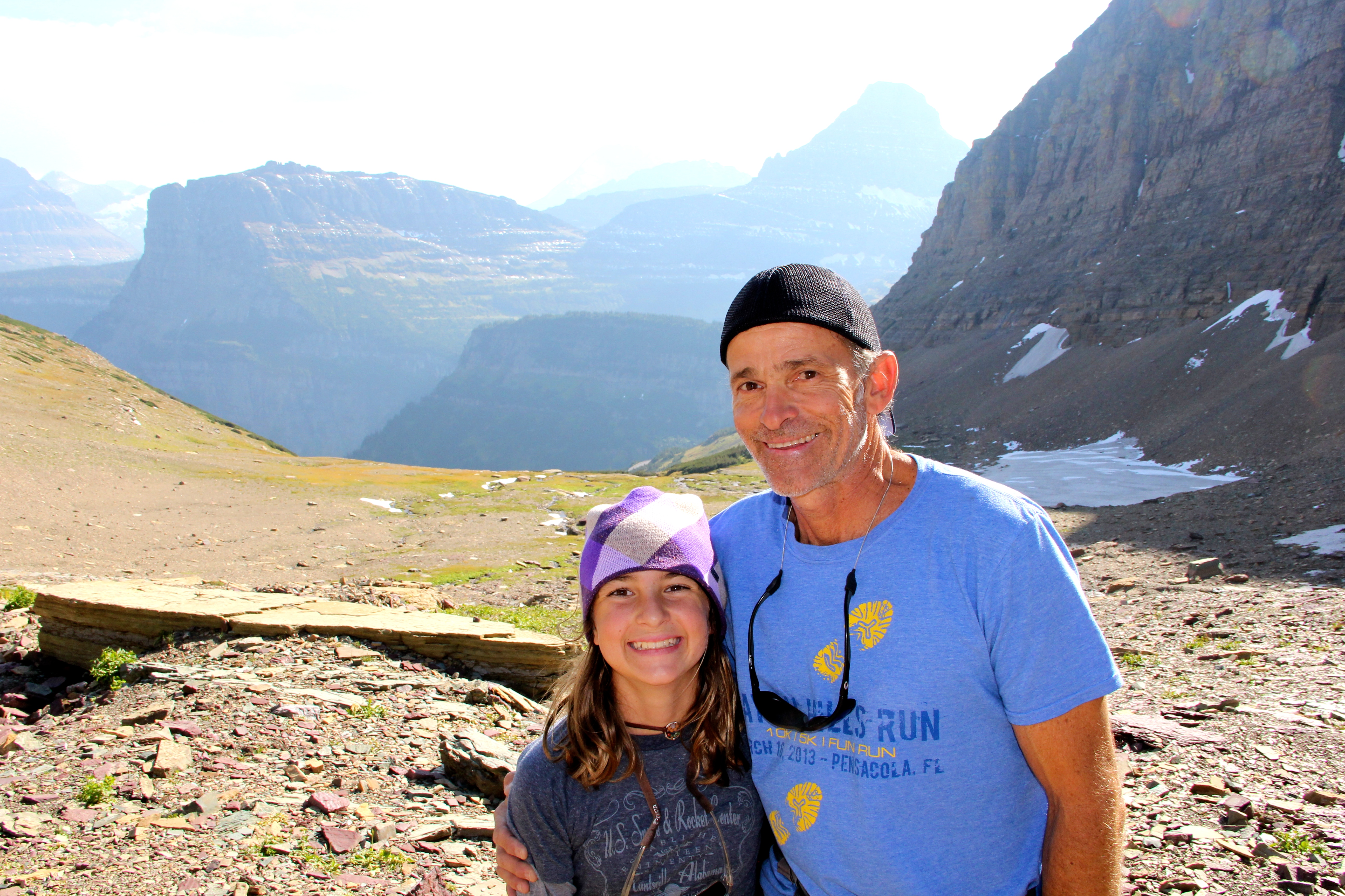
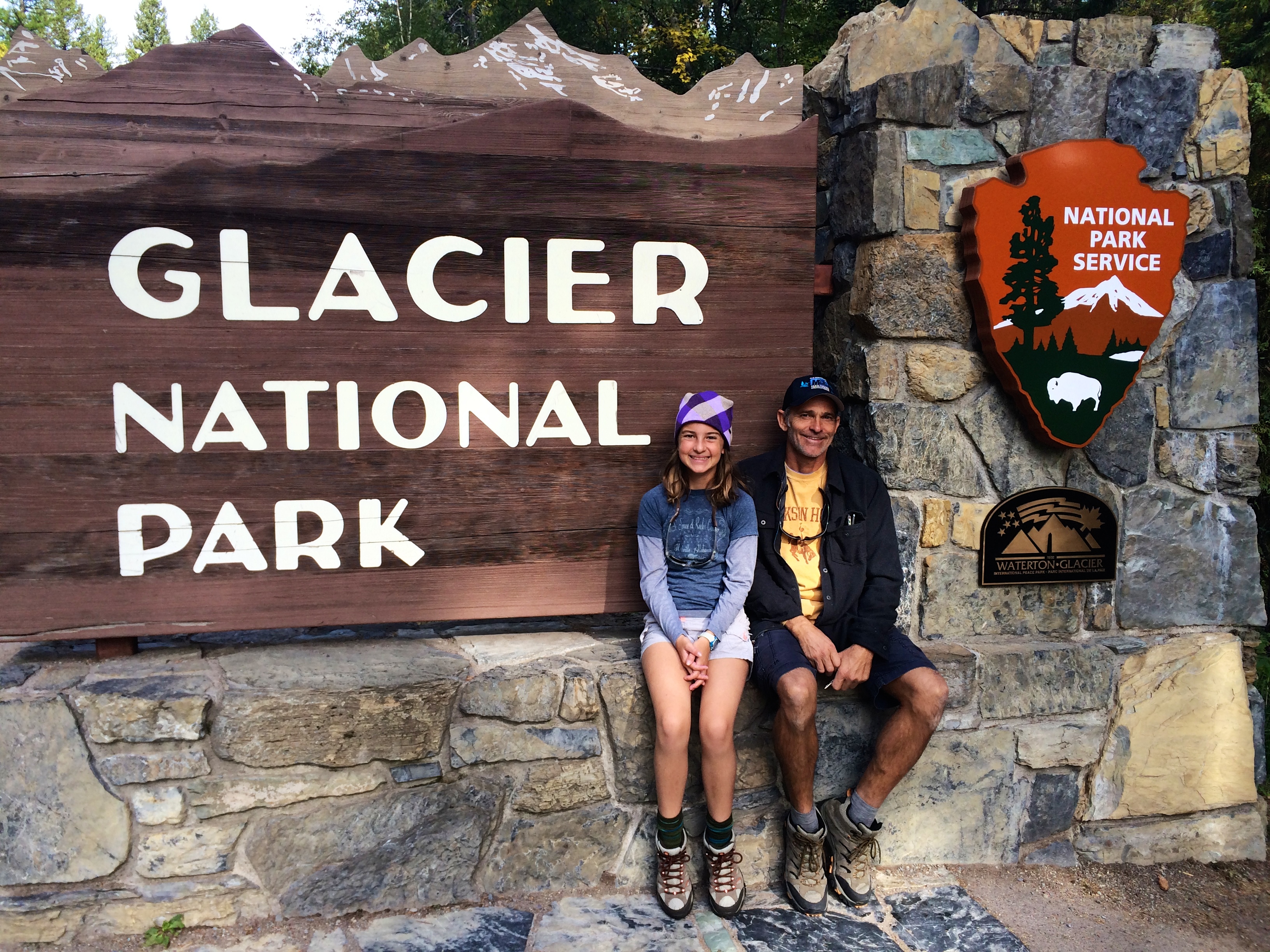
Tomorrow we hope to arrive at Glacier National Park, then up early Tuesday on the hunt for solid internet for Savannah’s required online virtual classes, which fall on Tuesdays and Thursdays. This evening we have been working hard on lessons and reviews, as well as compositions and a History project which includes a poster advertising the city of Cordoba Spain in the year 1000 AD.

Following is the composition report. This recent lesson required writing a 500 to 700 word instructional essay of how to build something. I think this is GREAT! Especially in light that Savannah is our Jr. Ranger AND our campfire kid:

“How To Safely Build a Campfire and make Smores!

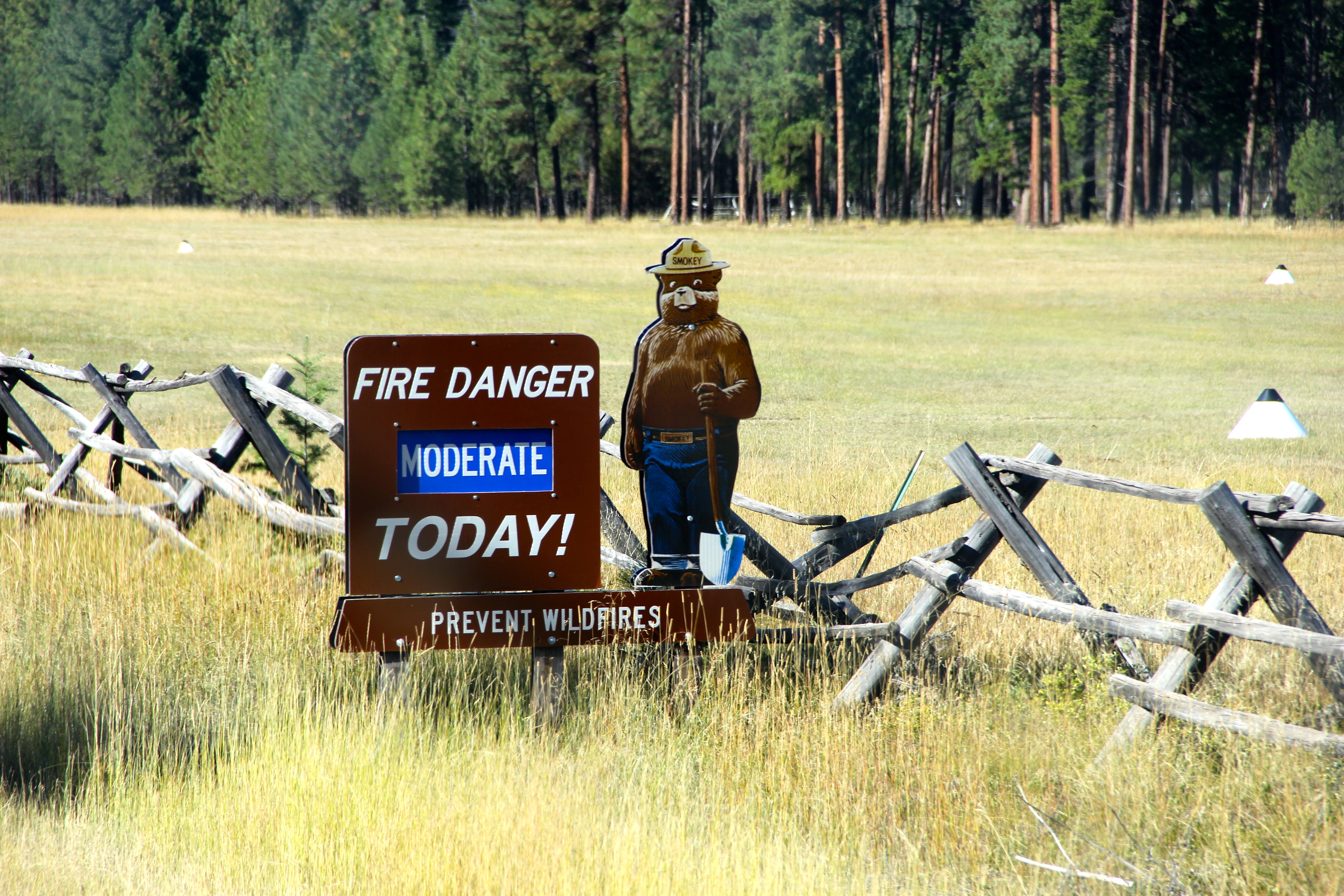
To build a campfire you will need to find a safe and protected place, away from flammable items, trees or very windy areas. You always want to prevent forest fires.

First, gather your materials. These include dry wood or logs, twigs, paper, matches, a shovel, and rocks. Be sure you gather or buy your wood from the area you plan to burn it. This prevents bringing in new diseases that can be transmitted from different trees and areas. You want to protect the forest!

Next, find a designated fire pit for the fire. A fire pit is a metal circle that contains your fire. If there is no designated fire pit you can make one by digging a shallow hole with your shovel and lining the edge of the hole with rocks to contain the fire. It’s very important to contain and control your fire and NEVER leave a fire unattended!

Loosely place your small twigs and paper in a pile in the middle of the fire pit. Then arrange your small logs or wood vertically around the outside of the twigs and paper in the shape of a teepee. The teepee arrangement of wood allows constant airflow and an efficient way to burn your wood. It also looks very nice and is fun to build!

Finally, carefully strike a match and light the paper. Be sure to always strike the match away from you and others, you don’t want to burn yourself or anyone! Once the paper catches fire, blow air lightly towards the fire, either using your breath or an object to fan the air. This will provide oxygen to the fire, that will help it catch and burn more easily.   However, too much air or wind before the fire is established can blow it out.

Make sure you have enough wood to keep your fire burning. Add wood when your fire is established. You can tell when it is established when the wood is red hot!

Fires are a great source of heat, light, and beauty.   You can even cook on your fire. Roasting marshmallows and making smores is a favorite campfire activity!

To roast marshmallows for smores you need a long stick, a bag of marshmallows, chocolate pieces, and graham crackers.

First you stick the marshmallow on the end of the stick, make sure it doesn’t fall off. Next you put the marshmallow into the flame or the red-hot part of the fire. While the marshmallow is in the fire slowly rotate the stick round and round such that the marshmallow cooks golden brown on all sides.

If your marshmallow catches on fire, quickly and carefully blow it out! The marshmallow will be very hot, so be careful not to burn your mouth if you decide to eat it right away!

Finally when your marshmallow is golden brown and puffy, place it between 2 pieces of graham cracker and a piece of chocolate, like a “marshmallow sandwich”.   Be sure to stow your stick somewhere, where it can’t be stepped on by bare feet, because the end will still be very hot. Finally enjoy your marshmallow smore, next to your campfire!

Lastly, when you are finished enjoying your campfire, be sure to put the fire out by dousing it with water. Make sure to pour a little water at a time over the hot fire so that the fire will not create too much smoke or burn you with the steam.   If you created or built your own fire pit, be sure to cover it with dirt or sand after dousing with water.

Fires are fun to make and are very enjoyable. If you follow these rules your experience will be great while also preventing forest fires.

Savannah Baus~ Lesson 29

IMG_3636 IMG_3683 IMG_9043 IMG_9044 IMG_9049 IMG_9054 IMG_3728 IMG_9125 IMG_9147 IMG_2918 IMG_2925

Brilliant blue skies, Paintpot and Norris Geyser Basin, North Rim Canyon, waterfalls, and Milkyways….

It’s absolutely mind boggling how every single day of this adventure as been “awesomeness” (as Savannah would say) one day after another!

Since the temperatures consistently have been dipping down into the lower teens, we have been spending these lovely mornings kicking back in our warm and cozy camper, catching up on school, blogs and work. This seems to be the normal routine since we are not able to do school while traveling, for many reasons.. one we both get car sick and secondly, there is just too much to look at out the window! So we are doing work in the early AM when the temps are a bit chilly and after the sun goes down, while exploring by day.

Once again, Savannah visited a Ranger Stationrand picked up her packet to start working on her Yellowstone National Park, JR. Ranger badge.   One of the requirements is to sit in on a 30 minute ranger seminar. Yesterday’s seminar was about the “Wild” Yellowstone and government conservation. At least it was next to the Steamboat geyser. One curious fact, however, was the Government definition of “Wilderness”, and that Yellowstone Park is only 1% of the 2.2 million acres which are considered the Park but are actually designated for wildlife management.   Over 3 million tourists visit the park each year.

Our first stop was a pull off along the side of the road to view the Gibbon falls. We thought that was awesome… little did we know what we would see a few hours later! Our next stop was “Paint Pots”, then over to Norris Geyser Basin and finally we drove the North rim Canyon Village with a hike into the lower and upper falls of the “Grand Canyon of Yellowstone”. Followed by a gourmet dinner near the campground at a hunting and fishing ranch!

On the drive out from dinner, we stopped on the dirt road surrounded by nothing and got out to admire the stars and milky way. It was absolutely spectacular!! We should have mandatory world wide black outs to reset our souls and help put us humans back in our place. The Milky Way was literally from one horizon to the next. The Big Dipper looked like it would reach down and scoop us up it was so huge and the bucket was facing down.   The clusters of stars and the brightness of planets were seriously incredible, never seen anything like it. The stars started from ground level all around, and nowhere have I witnessed such star power, not even down island where the viewing is also nice.  We so look forward to this sight again!

Back to the geyers and hiking! More mindblowing experiences! Both Paintpots and Norris Geyser Basin were plentiful of geysers, hot springs, fumaroles, mudpots and steam vents. For more information on these you can visit https://yellowstone.net/geysers/

Note: “Yellowstone’s 200-250 active geysers equal more than the sum of all the other geysers in the world! Upper Geyser Basin, which includes Old Faithful, hosts the world’s largest geyser collection, although Norris Geyser Basin is the park’s most active thermal area. Steamboat, the world’s largest geyser, is located in the Norris Basin.”

We witnessed Constants Geyser erupt in the Norris Geyser Basin, which by the way felt like we were walking on the moon! Literally only a narrow boardwalk separated us from thin crusts covering scalding water and vast areas of steam coming from the ground, some with considerable force. The hot springs were a beautiful array of turquoise and clarity. Steamboat geyser erupted on Sept 3, and since this happens only every 4 to 50 years, the steam we saw is still considered to be in the “steam phase” of the active eruption, so we can say we were there for the Steamboat eruption according to the Ranger.

Most spectacular was the Little Falls on the North Rim Canyon. We descended down a path 600 ft to view the top of the falls as she dumped over 37,000 gallons per second an additional 308 ft down into the Canyon. Never has nature made me feel so emotional. The raw power and beauty rushing through a narrow rock enclosure was overcoming for me.   I was literally stopped in my tracks. A quote I read later summed up the experience well.. “…As I took in the scene, I realized my own littleness, my helplessness, my dread exposure to the destruction, my inability to cope with or even comprehend the mighty architecture of nature….” –Nathaniel P. Langoford, 1870, one of the first explorers to record his impressions of the Grand Canyon of the Yellowstone River.

We then hiked long the canyon to the North Falls, in a more rugged trail setting where we did not see any passers bye but many more water features above that dropped down 100’s of feet into the canyon and only your balance and common sense to keep you from joining it. The Upper falls also impressive. The water flowed very swift through a narrow exit just upstream of the Fals where it then dropped 109 feet into a basin of mists which leads into the lower falls about a quarter of a mile below. Truly remarkable.

A bit of history on the Canyon and falls.. : “The Grand Canyon of the Yellowstone River expresses the park’s complex geologic history in dramatic colors and shapes. Puffs of steam mark hydrothermal features in the canyon’s walls. The Upper and Lower Falls of the Yellowstone River add to the grandeur of this unique natural treasure. About 640,000 years ago, a huge volcanic eruption occurred in the Yellowstone, emptying a large underground chamber of magma (partially molten rock). Volcanic debris spread for thousands of miles in a matter of minutes. The roof of this chamber collapsed, forming a giant caldera 30 miles across, 45 miles long, several thousand feet deep. The caldera began to fill with lava and sediments. Infilling of lava flows continued for thousands of years. Scientists think the oldest Grand Canyon of the Yellowstone formed in rock and sediments about 160,000 to 140,000 years ago. This paleocanyon was not as deep, wide or long as the canyon you see now. Past and current hydrothermal activity altered and weakened the rhyolite, making the rocks softer. The Yellowstone River eroded these weakened rocks to deepen and widen the canyon, a process that continues today. The current canyon begins at the Lower Falls and ends at the Tower Fall. The 308-foot Lower Falls may have formed because the river flows over volcanic rock more resistant to erosion than the downstream rocks, which are hydrothermally altered. The 109 foot Upper Falls flows over similar rocks. The large rocks upstream from the Upper Falls are remnants of a lava flow resistant to erosion. The multi-hued rocks of the canyon result from the hydrothermally altered rhyolite and sediments. The dark orange, brown, and green areas near the river are still-active hydrothermal features. Their acitivity- and that of water, wind, and earthquakes- continue to sculpt the canyon…”

Still many wild life encounters, and signs of wild life!  Off to Old Faithful and fly fishing.  Happy Trails! PS.. we are averaging around 300 photos a day.. it’s impossible to share them all and the ones that i do share take forever to upload to blog.. hope my words are painting a picture.  🙂

IMG_9004 IMG_8995 IMG_8989 IMG_8967 IMG_8966 IMG_8955 IMG_8949 IMG_8935 IMG_8916 IMG_8902 IMG_3623 IMG_3606 IMG_3600 IMG_3591 IMG_3587 IMG_3586 IMG_3584_2 IMG_3579 IMG_3567 IMG_3566 IMG_3559 IMG_3558 IMG_3543

Wilderness sensory overload! Grand Teton’s National Park to Yellowstone National Park…. wildlife, geysers, canyons and lakes!

IMG_3375 IMG_3402 IMG_3406 IMG_3411_2 IMG_3432 IMG_3434 IMG_3436 IMG_3438 IMG_3446 IMG_3468 IMG_3469_2 IMG_3472 IMG_3475 IMG_3477 IMG_3481

IMG_8834 IMG_8832 IMG_3391 IMG_3469_2

Another gorgeous day.  This trip is already exceeding our expectations!  Jim and I snuck in an early run with temperatures hovering in the mid 30’s… the air was crisp and all you could hear was the Snake River that we ran along and the crunch of gravel beneath our feet.  Horses were curious to see us go by and you could see the breath exiting from their nostrils on this brisk morning. Savannah and i then hopped in the jeep after our run and headed back to Starbucks in Jackson Hole for her online virtual class and checkpoints/quizzes.  This has been an adventure in itself!  We love the girlie, coffee time together. While we sit side by side with our Mac pc’s, at such a glam little mtn. town! (we were not wearing UGGs… but we do have our own Starbucks mugs! lol) Just as she finished her class we saw Jim come through the square in the RV.. pretty funny and we all headed back to the Teton National Park.  We sat in on another park ranger seminar about bears (very interesting), and Savannah completed and received her Jr. Ranger badge for the Grand Teton National Park. (If you have not Google’d the mountain range, you should.. it’s fascinating.)

We were hoping to paddle some of the lakes in the Tetons but with the blustery 40 degree weather, we thought our time would be better spent taking our time getting to Yellowstone, as there were road closures ahead due to excessive Grizzly bear activity that would take us a couple of hours out of our way.  We drove the East side of Yellowstone circumnavigating the Park to the West Entrance.  We arrived just before dark, so we were glad we left when we did!  We stopped many,  many times along the way.  The beauty was literally sensory overload.

The two lane roads were all connected from one national park to another including national forest.  The roads were well groomed with lots of turn outs for photographic opportunities, and letting the speedsters pass.  We paralleled the Tetons for some time, with additional stunning views of this incredible mountain range.  As we went deeper into the forest the topography was changing literally every few miles.  Miles of evergreen forests, to deep rocky canyons, to grasslands, with major variances in altitude.  At times we would be peering down 100’s of feet at a river and then be river level at other times.  Shortly after entering Yellowstone Park, we drove past the Lewis River Canyon which will eventually will make her way to the Pacific Ocean, since we were West of the Continental divide.  We then crossed back over the Continental divide (East side)where  the rivers will flow to the Atlantic or Gulf of Mexico.  Through out our Northerly routes, we have zigzagged this hydrological boundary numerous times!

As i mentioned earlier, Yellowstone is a land of varied topography.  “Much of the park is a high plateau where the apparent flatness belies the high elevation: 7000′-8500′. Elevations range from 5300′ at the North Entrance to 11,358′ on Eagle Peak’s summit in the Absaroka Range in the southeast. Many ridges crest at 10,000′ to 11,000′.”

The MANY thermal areas were super awesome!  They smelled just like Jim’s chemical plant in Puerto Rico.  That smell is Sulfur in the form of hydrogen sulfide and in some of the vents, the hydrogen sulfide is consumed by micro organisms which convert it to sulfuric acid. This acid heats the rocks and soil and then converts that into mud. (This is our bread and butter in Jim’s line of work, fyi.. 🙂 Jim manufactures sulfuric acid and related inorganic chemicals, mostly for water treatment.  He finds these natural sulfur outputs sadly under capacity for his requirements! Sulfur is also a very hard to find and a pricey raw material for Jim’s company.  I’m surprised he’s not out there now gathering buckets of sulfur as i write!!

The thermal areas are quite abundant.  We stopped at the mud volcano which featured the “Dragon’s Mouth Spring”.  “An unknown park visitor named this feature around 1912 perhaps due to the water that frequently surged from the cave like the lashing of a dragon’s tongue.  Until 1994, this dramatic wave-like action often splashed water as far as the boardwalk. The rumbling sounds are caused by stream and other gasses exploding through the water, causing it to crash against the walls of the hidden cave.”

“Yellowstone’s thermal features are the product of 50 million years of geology, largely fueled by the interaction of heat and water.  The park is one of the world’s largest calderas (volcanic craters), measuring 28 x 47 miles. volcanoes erupted here many times; the last lava flowed about 70,000 years ago.  Recent seismic studies indicate magma probably exists about 1-3 miles beneath the surface, a relatively shallow depth. Water from rain and snowfall seeps down several thousand feet where it is heated by the magma. The hot water then rises to the surface, creating hot springs, fumaroles and geysers.   Yellowstone contains about 10,000 thermal features. Only Iceland, New Zealand and Kamchatka have comparable concentrations.  But Yellowstone’s 200-250 active geysers equal more than the sum of all the other geysers in the world! Upper Geyser Basin, which includes Old Faithful, hosts the world’s largest geyser collection, although Norris Geyser Basin is the park’s most active thermal area. Steamboat, the world’s largest geysers, is located at Norris.”

We have also enjoyed the abundant wildlife and close encounters with a bull elk and a bison.  Also herds of bison from a distance and prong horns.  Deer are everywhere!   The weather has been spectacular, however the last couple of days have been a cold front bringing flurries and temperatures in the teens at night and upper sunny 40’s in the day.  It should be back up into pleasant day time 60′ weather soon.  The Aspen trees and other deciduous trees and plants are so colorful and peaking here their with their Autumn song.

We are about to go explore this geographic wonder after brunch and school!

Happy Trails!

Online schooling at Starbucks~Jackson Hole, Birthday shopping for Grandma.. Hiking Grand Teton National Park and paddling the Snake River ~ Another perfect day.

We thoroughly enjoyed our down town~ Jackson Hole, Urban time. Savannah completed her on line check points and virtual classes while sipping on a caramel Frappuccino. I updated blog, and Jim was on numerous conference calls pacing the wood lined sidewalks of the Jackson Hole, Square! Excellent shopping for picking up my Mom’s bday present, which we promptly got in the mail.. whew! 😉

We had snacks already packed and headed for the Grand Tetons. It’s been years for both Jim and I since we have been here, and as soon as we rounded the last bend, there they were. The majestic, powerful, breath taking Teton mountain range!  We stopped in for a visitor center visit. Savannah attended a Ranger seminar, and gathered her materials to complete the one of many State Park Jr. Ranger badges.

We hiked a 4 mile loop around String Lake, and it was absolutely gorgeous! There was a lot of buzz about the Grizzlies roaming, but we did not encounter any. However, we kept talking entire hike! Literally every direction was just an incredible site. I had to make an effort not to take 1000’s of photos and just truly enjoy the raw beauty of these mountains and lakes.

The Geology of the Teton mountains are fascinating in itself. In a nut shell: “Two of the most powerful forces in nature (Fire and Ice) created these unique boulders. Millions of years ago, lava filled with gas bubbles, erupted, cooled, and crystallized. Later Ice-Age carried rocks South from the Yellowstone Plateau into today’s Grand Teton National Park.”

After hiking we headed back to base camp where I quickly donned the wetsuit and grabbed the inflatable to get my Snake River, bucket list paddle in before dark! Savannah and Jim dropped me about 5 miles up stream. We decided since it was cool and the sun was about to go behind the mountain and I wasn’t sure the level of the stretch, so I let Savannah try and catch dinner instead! Unless I have run the river first, do I feel comfortable letting Savannah go with me… safety first, “Mom thing…” That being said it was a super Epic, FUN, and VERY FAST stretch of moving water. (Averaging 7:50 to 8:30 min miles the entire way, you can see it on my shadow along the banks!) Rapids were smaller than the Colorado stretch, but let me tell you that water was moving! Tons of bumps and the adventure factor was WAY up there, paddling in the wildness alone and personally uncharted waters. I didn’t see any wild life other than the abundant trout running, and a dude playing guitar on one of the banks. I arrived at base camp just before dusk, and pretty stoked to see Savannah fishing and Jim enjoying some quiet time on the banks with a cold one. We later enjoyed a yummy Salmon dinner, reading and hit the hay early for the next day’s adventures!

IMG_3132 IMG_3139 IMG_3154 IMG_3161 IMG_3163 IMG_3168 IMG_3172 IMG_3183 IMG_3187 IMG_3190 IMG_3195 IMG_3211 IMG_3224 IMG_3230 IMG_3258 IMG_3262 IMG_3269 IMG_3303 IMG_3305 IMG_3323 IMG_3337 IMG_3346_2 DSCN5494 IMG_8758 IMG_8760 IMG_8764

River side Art History in the Wyoming, Teton National forest, internet hunting and wintery mornings!

Cold mornings in Jackson Hole, WY! We arrived late evening on the 8th after a long drive from Eagle, CO. The drive over the Rocky Mountains on N 131 was spectacular. Then back on the plateaus while on N 13 into Wyoming was not with out some interesting landforms. Next, i-80 W were MILES of nothing, massive head winds, a few wild horses, and natural gas dwellings speckled along the way. Later we saw coal mines, power plants, and interesting rock formations. The Western direction was about as entertaining as crossing Kansas. But all of the Northerly routes have been insanely awesome. Finally 191 took us through the Bridger-Teton National Forest. The mountains and landscape were truly breath taking. We saw eagles, one very large female moose, and our eyes peeled for the lone Grizzly! I’m sure we don’t look like FL tourist at all…. 😉


Our first morning camped along sided the Snake River we spent catching up on school. I can’t tell you the amount of discipline this takes. Savannah also had to take her first on line high school elective course, and finding Internet was a trick. We ended up borrowing the camp host’s pc, to get get logged on to her course with literally 1 minute to spare and only one bar of coverage! School took the better half of the day, so we decided to save Sup’ing river adventures and hiking for the next day. Instead we headed down to the banks of the Snake River to work on an art assignment “History of Art Architecture” where Savannah was to supplement her lesson by drawing a “Greek Temple”… instead, we built one with the rocks along the bank on a improvised peninsula. “Greece is nearly an island, but not quite since it is surrounded on only three-not four-sides by water.) Next door to Greece is another near-island or peninsula called Italy. The capital of Italy was (and still is) Rome, and after Greece had lost her power, Rome became the capital-that is, the head-of most of the Western world.” Hence building on a peninsula off the Snake River! My roll was the architect, and Savannah’s roll was the builder… “The Greeks were great architects, but the Romans were great builders.”   Savannah built Corinthian “rock” columns and a Pantheon style building. So there was both Greek and Roman traits to our structure, for learning purposes. The green leaf represented the Corinthian columns. The story behind the design of the Corinthian is as follows: “The Greeks started a new style of column called the Corinthian, but they didn’t like it very much themselves and hardly used it at all. The Roman architect Vitruvius, who told us the story of the Ionic column, tells us another to explain the Corinthian capital. Vitruvius said that a basket of toys with a tile covering the top was placed on the grave of a little girl in Corinth, as was the custom in those days. By chance, the basket had been placed directly over a thistle plant and the leaves of the thistle grew up around the basket. An architect, seeing this basket with the leaves curling round it, thought it would make a good design for a capital of a column, so he copied it in marble and put it on an Ionic column in place of the Ionic capital. In this way the Corinthian column was invented. So the Corinthian column is just an Ionic column with a different capital. The Greek thistle is called the acanthus, so the leaves that curl upward and outward on each side of the Corinthian capital are acanthus leaves. Just underneath the tile are four corner scrolls or curls. The Ionic curls face front and back, but the Corinthian, curls face cornerwise.

 That is your “History of Art Architecture” lesson for the day!

 Off to hit the Teton trails! The fall foliage is gorgeous!

IMG_3044 IMG_3047 IMG_8691 IMG_8692 IMG_8698 IMG_8707 IMG_8716 IMG_3055 IMG_3061 IMG_3071 IMG_3074 IMG_3090 IMG_3095 IMG_3109 IMG_3124